ParkHampden
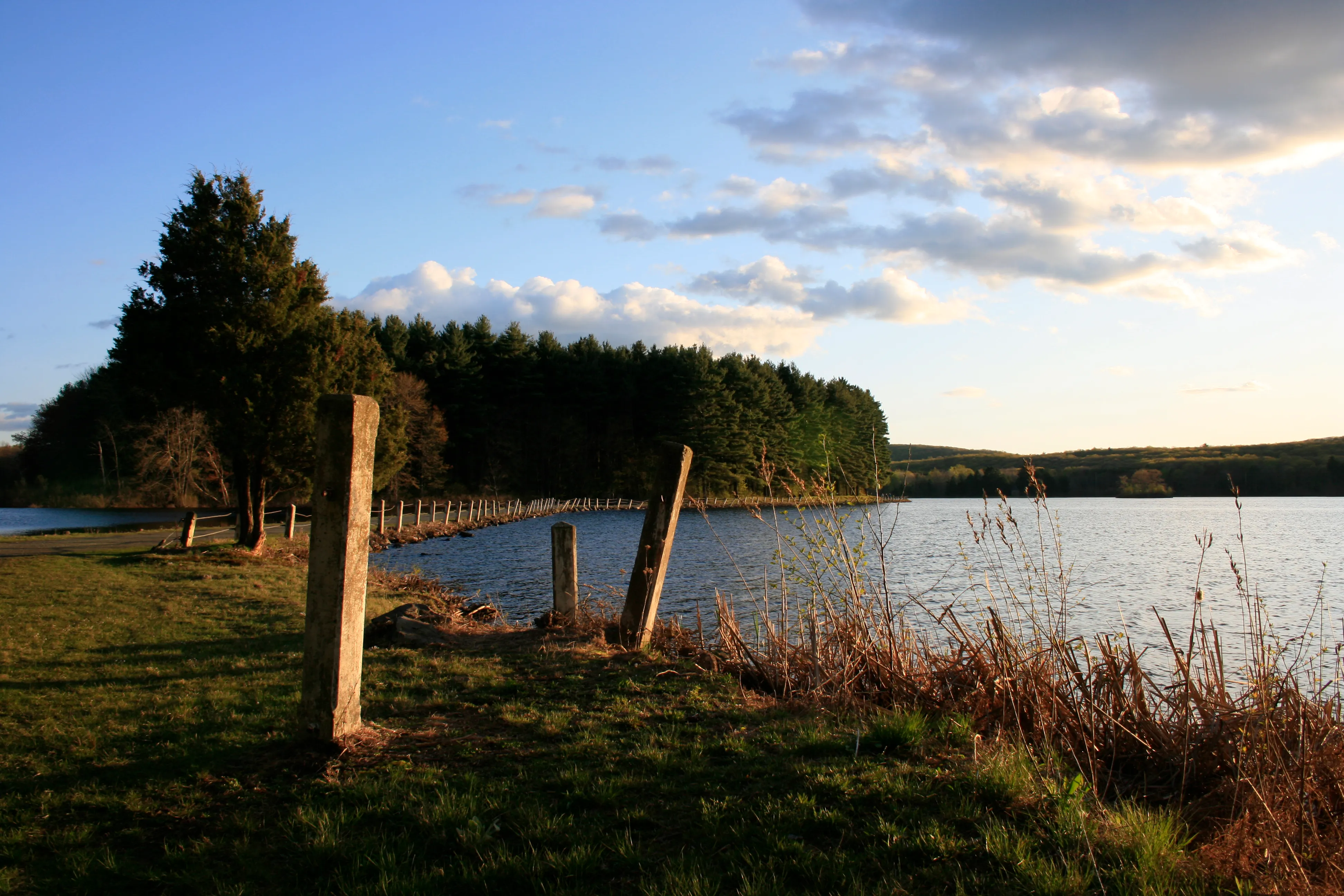
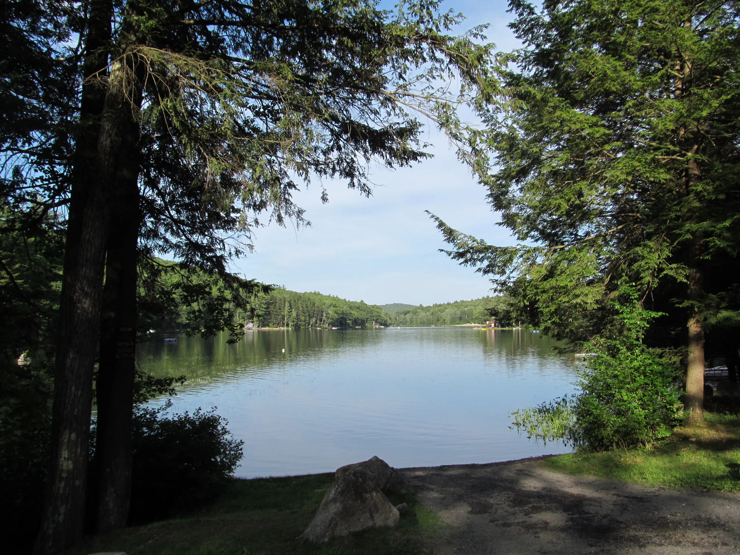
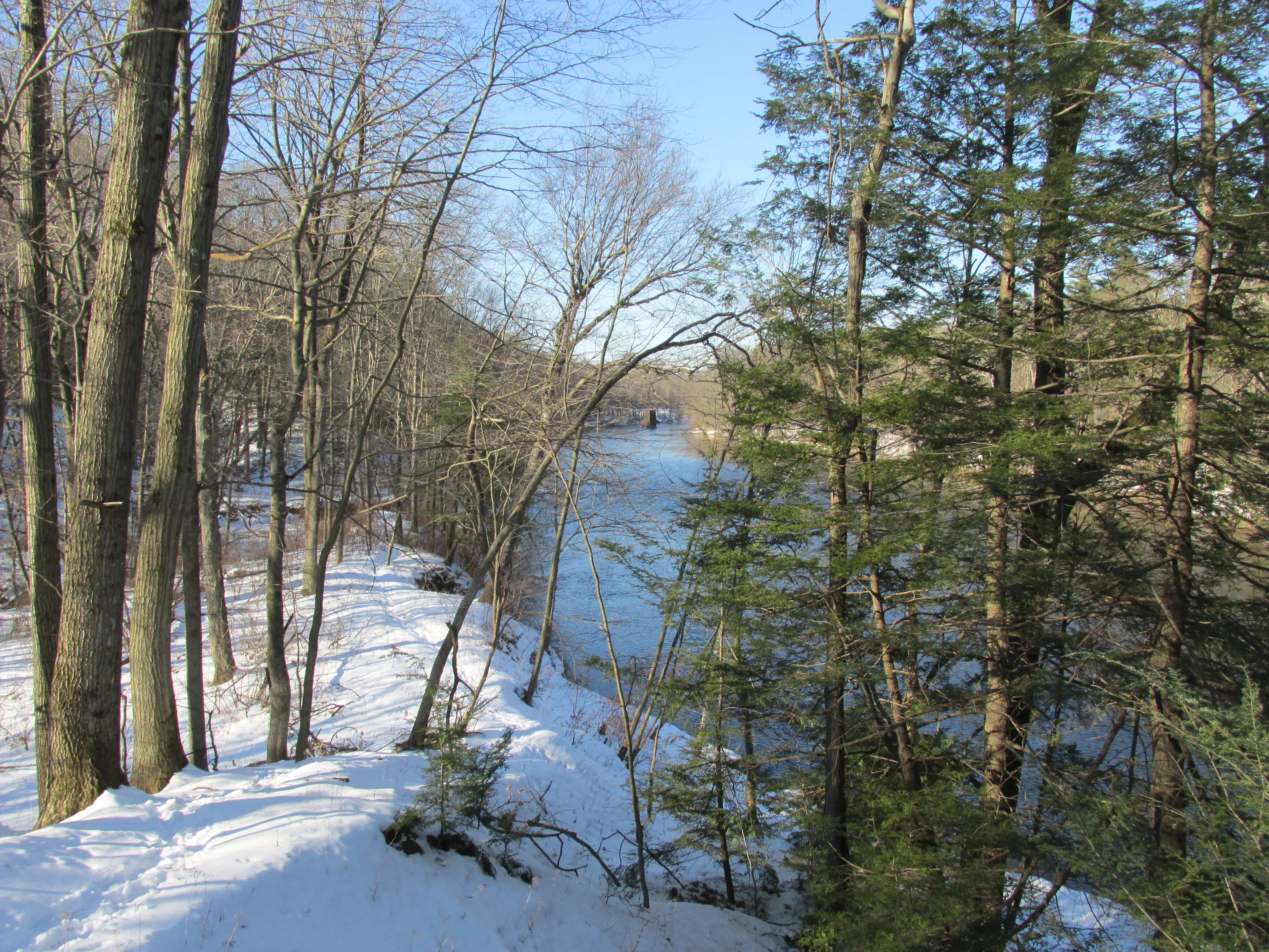
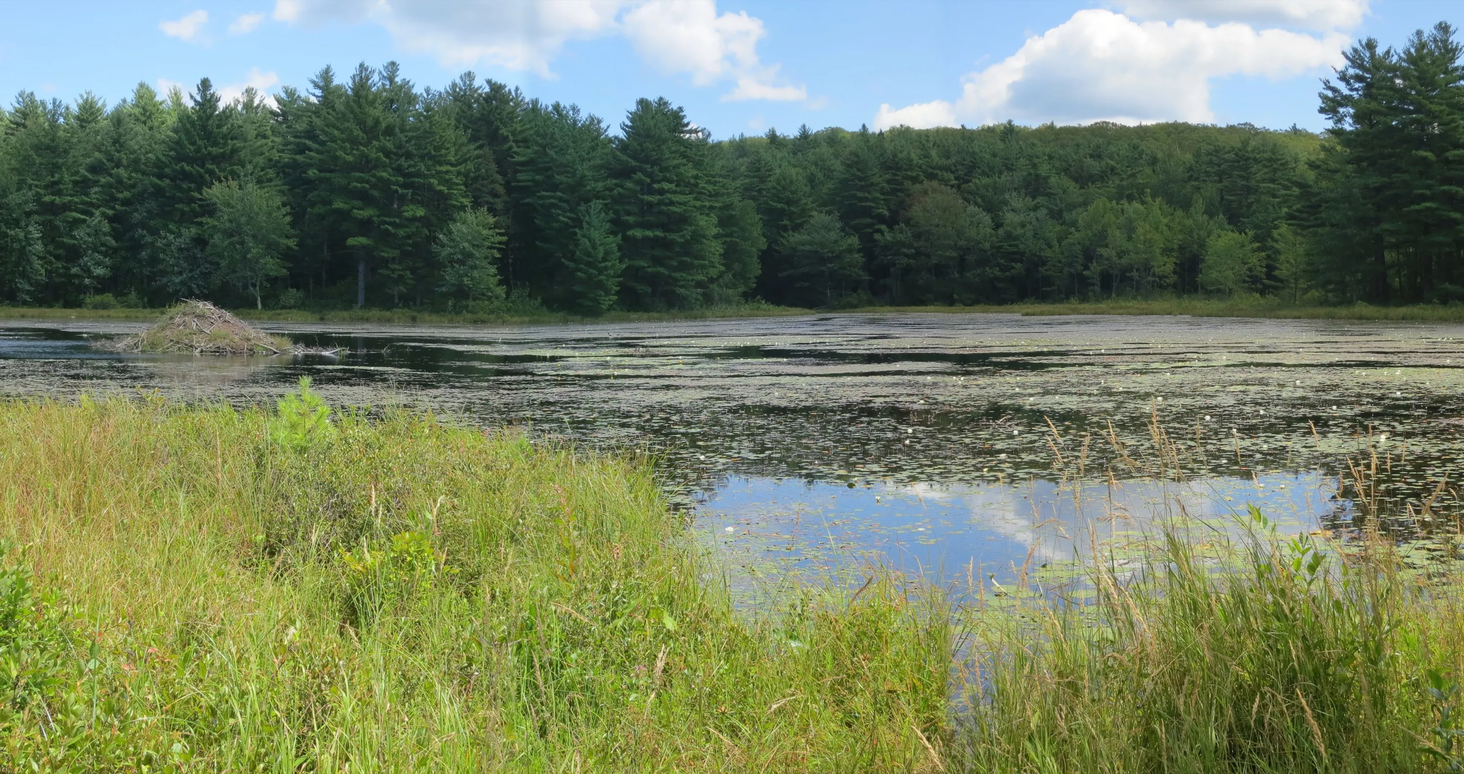
Ashley Reservoir
A flat 4.5-mile gravel loop around Holyoke's secondary drinking-water reservoir, with pine woods, open water views, and one of the most-used everyday running paths in the southern valley.
Holyoke · 4.5 mi · Easy
Outdoors · Category
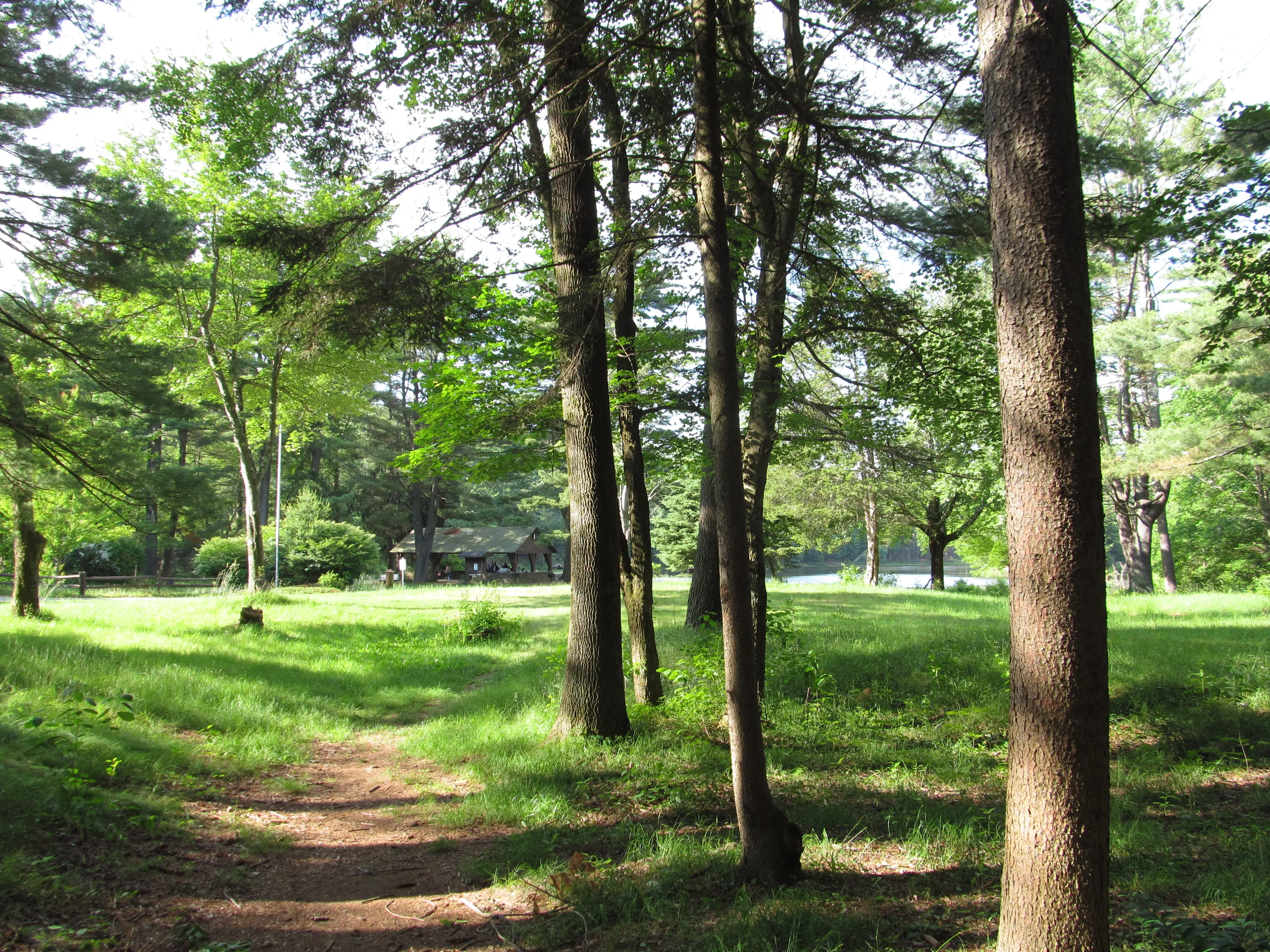
Parks across the Pioneer Valley.
A flat 4.5-mile gravel loop around Holyoke's secondary drinking-water reservoir, with pine woods, open water views, and one of the most-used everyday running paths in the southern valley.
Holyoke · 4.5 mi · Easy
A roughly 3,500-acre DCR state forest in the hills west of Brimfield Center, with the Dean Pond Recreation Area as its developed core, the glacial-erratic Steerage Rock on the old Bay Path, and over twenty miles of multi-use forest roads and trails.
Brimfield · Easy
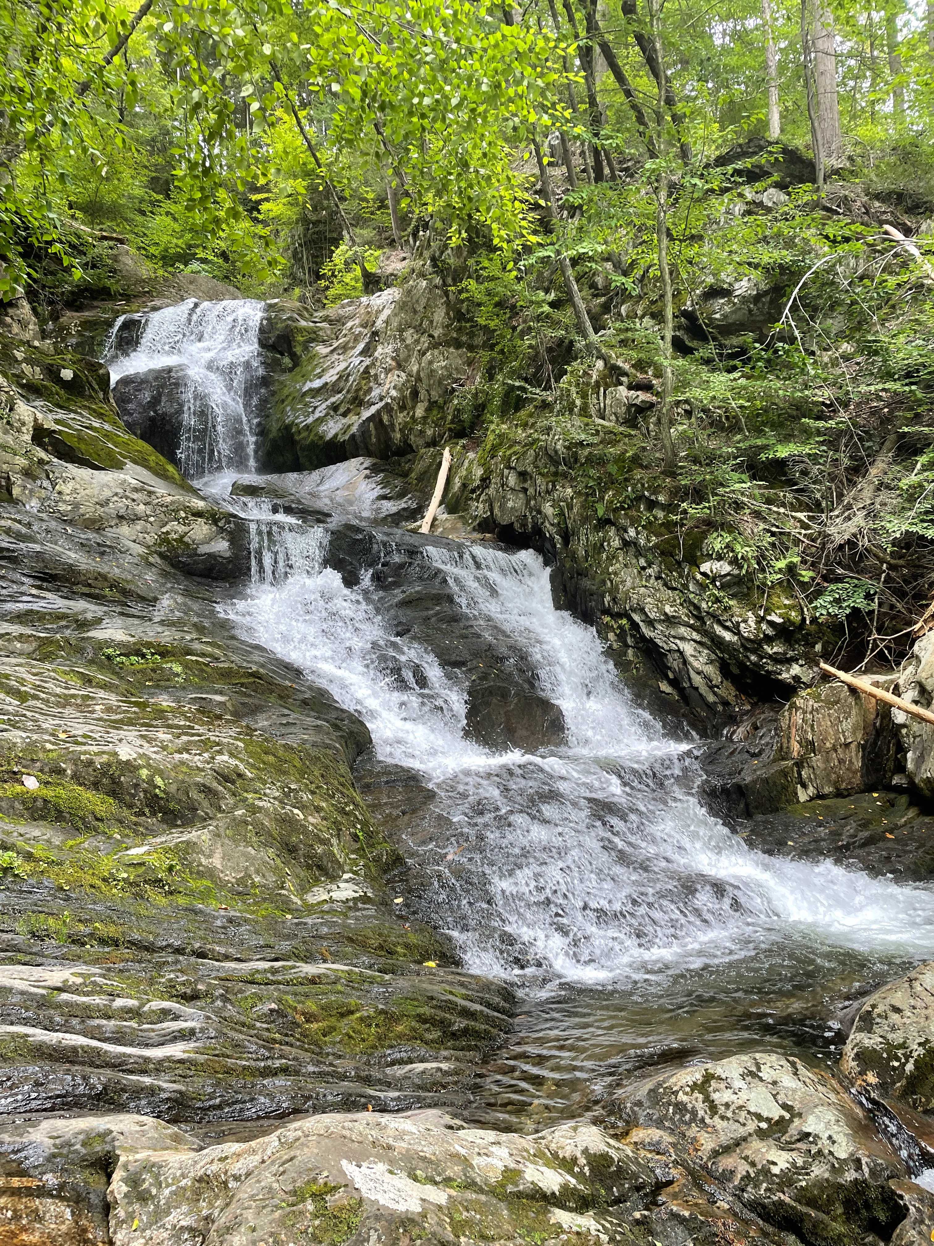
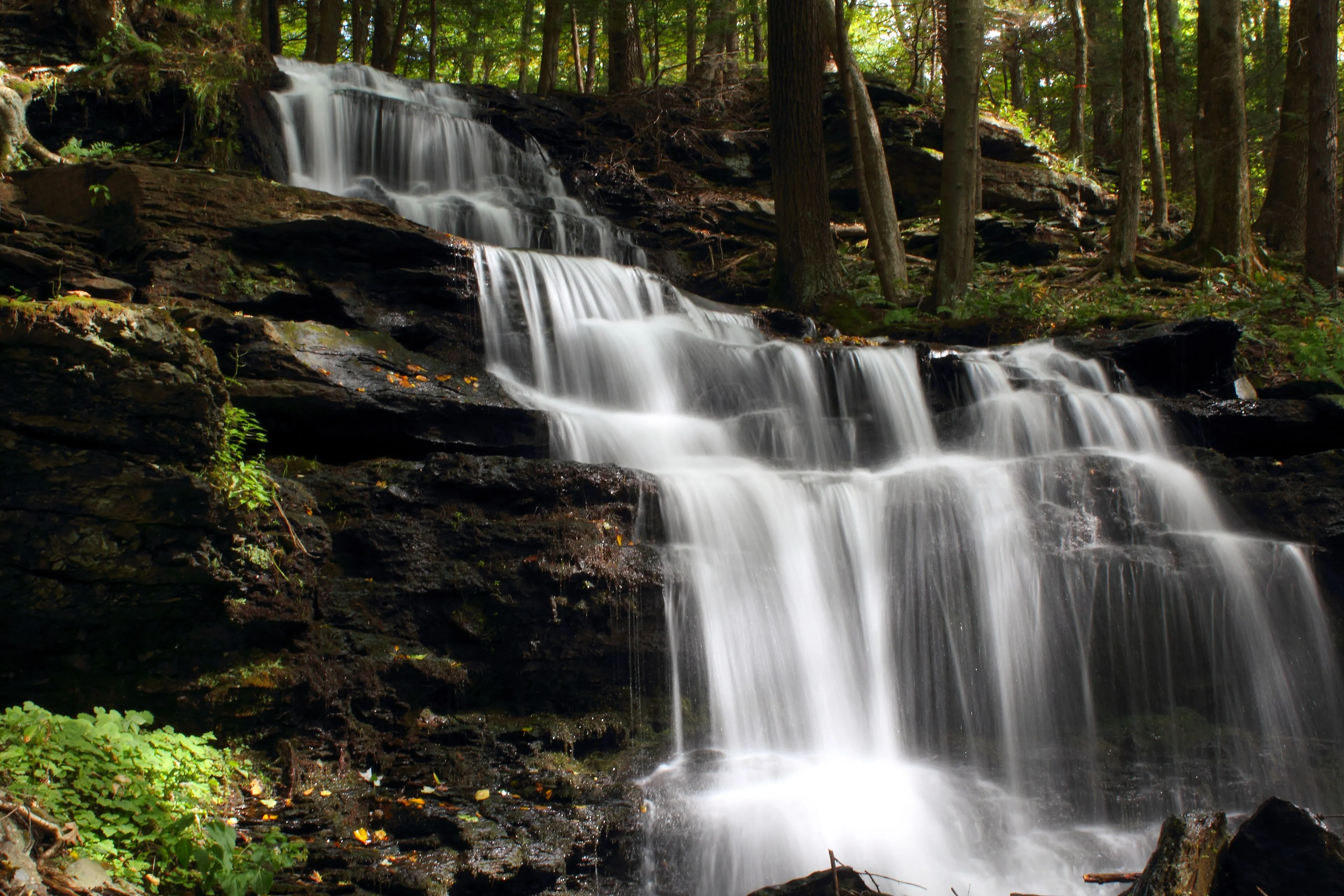
A 2,776-acre DCR forest in the Hampden County hilltowns spanning Chester and Blandford, established in 1924. The headline attraction is Sanderson Brook Falls, a 60-foot multi-tier cascade reached by a short walk from a forest road off Route 20.
Chester · Moderate
A 1,728-acre hilltown forest in Goshen and Ashfield, given to the Commonwealth in 1929 by the Daughters of the American Revolution. Upper and Lower Highland Lakes, a fire tower on Moore's Hill, a 51-site campground, and about fifteen miles of multi-use trails.
Goshen · Easy
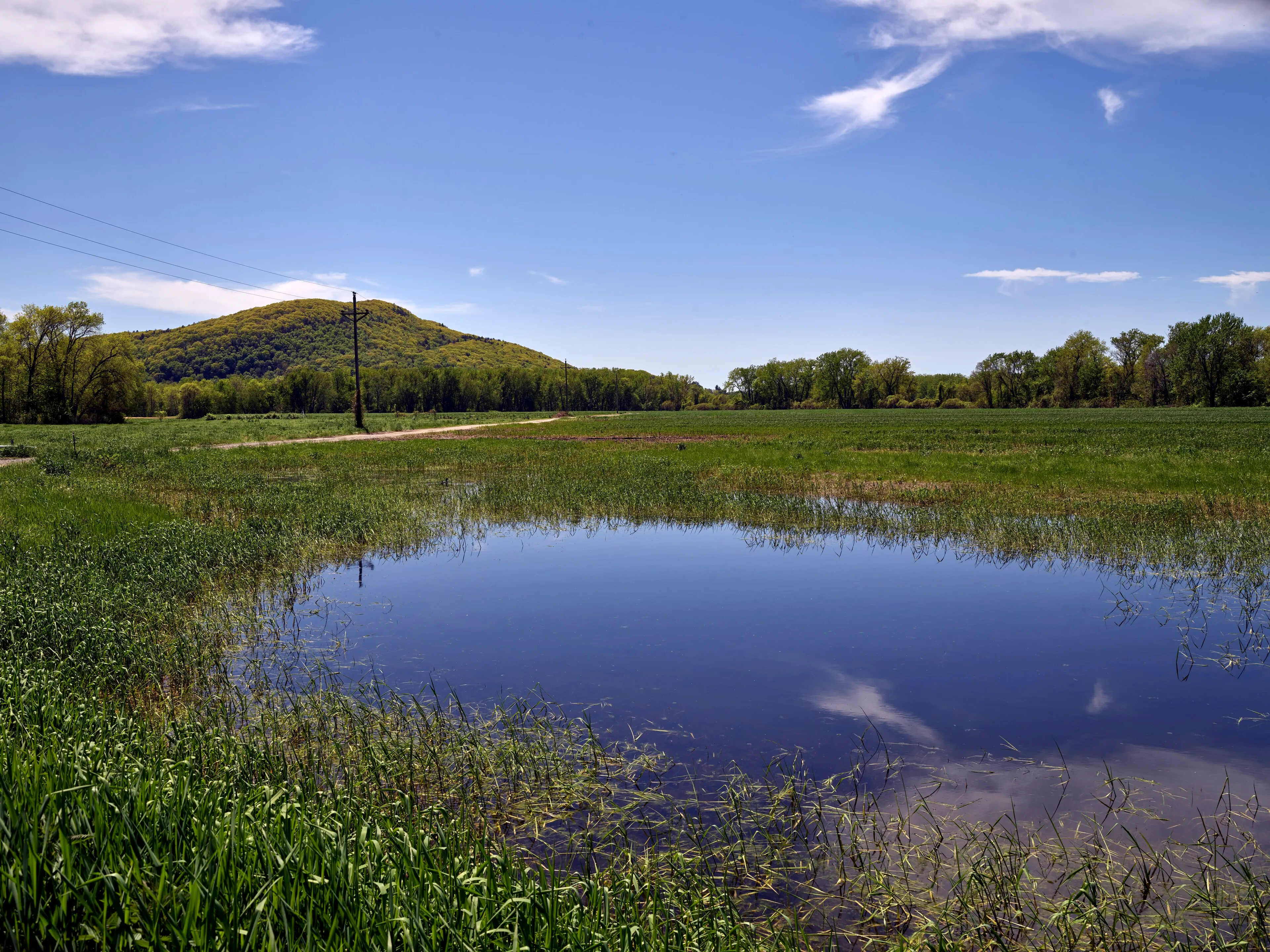
A 2,422-acre DCR forest north of the Millers River in Erving, Warwick, and Orange, built around Laurel Lake, with a swimming beach, a seasonal campground, and a network of woods roads and trails through the rolling Franklin County uplands.
Erving · Easy
Springfield's 735-acre city park, with an Olmsted-firm layout, a working zoo, a rose garden, a duck pond, and miles of walking roads and trails on the city's south side.
Springfield · Easy
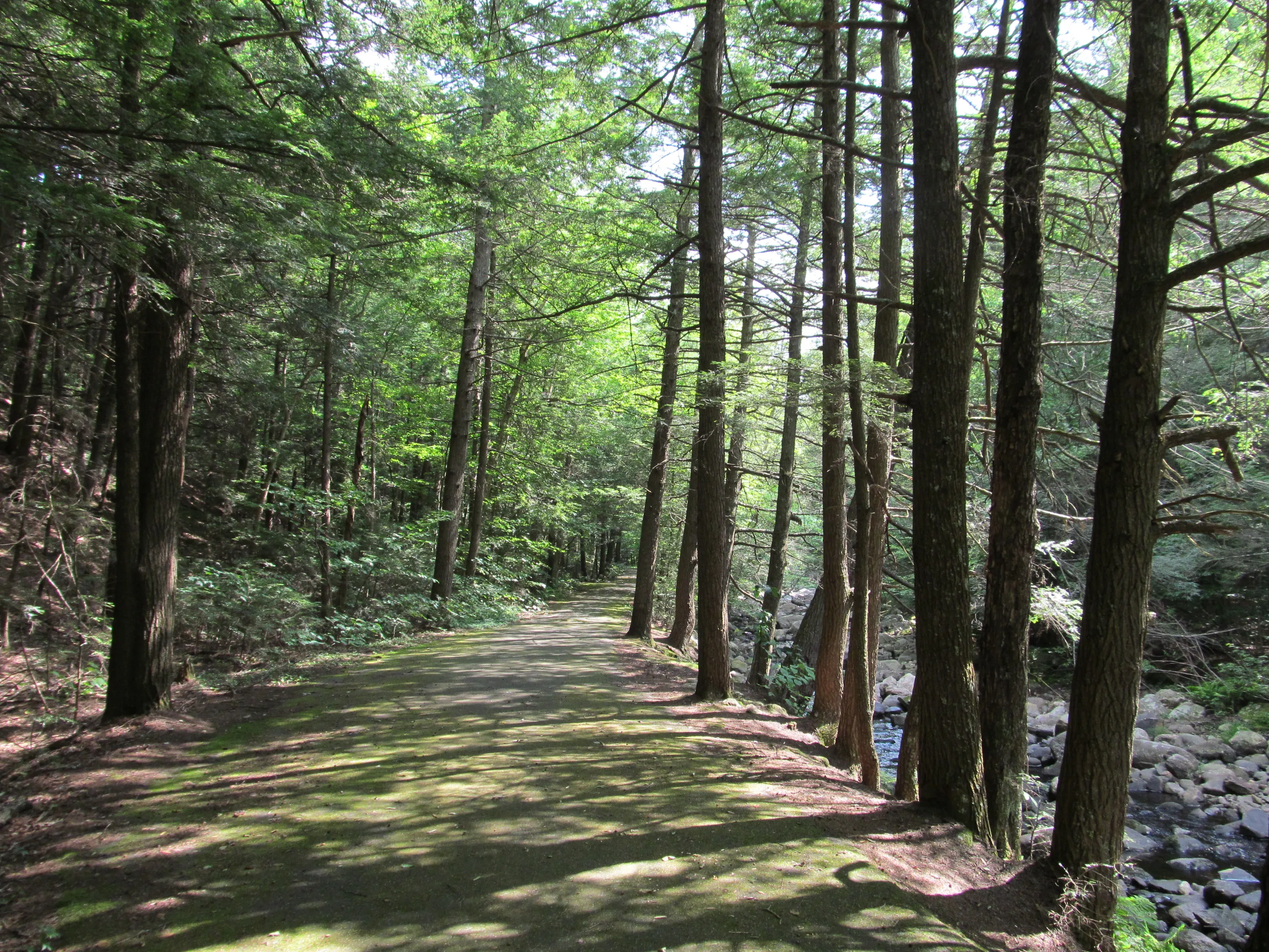
A 2,432-acre DCR forest in the southern Berkshire foothills of Granville and Tolland, with the Hubbard River dropping 450 feet through cascades and pools, a small primitive campground, and a network of woods-road trails.
Granville · Moderate
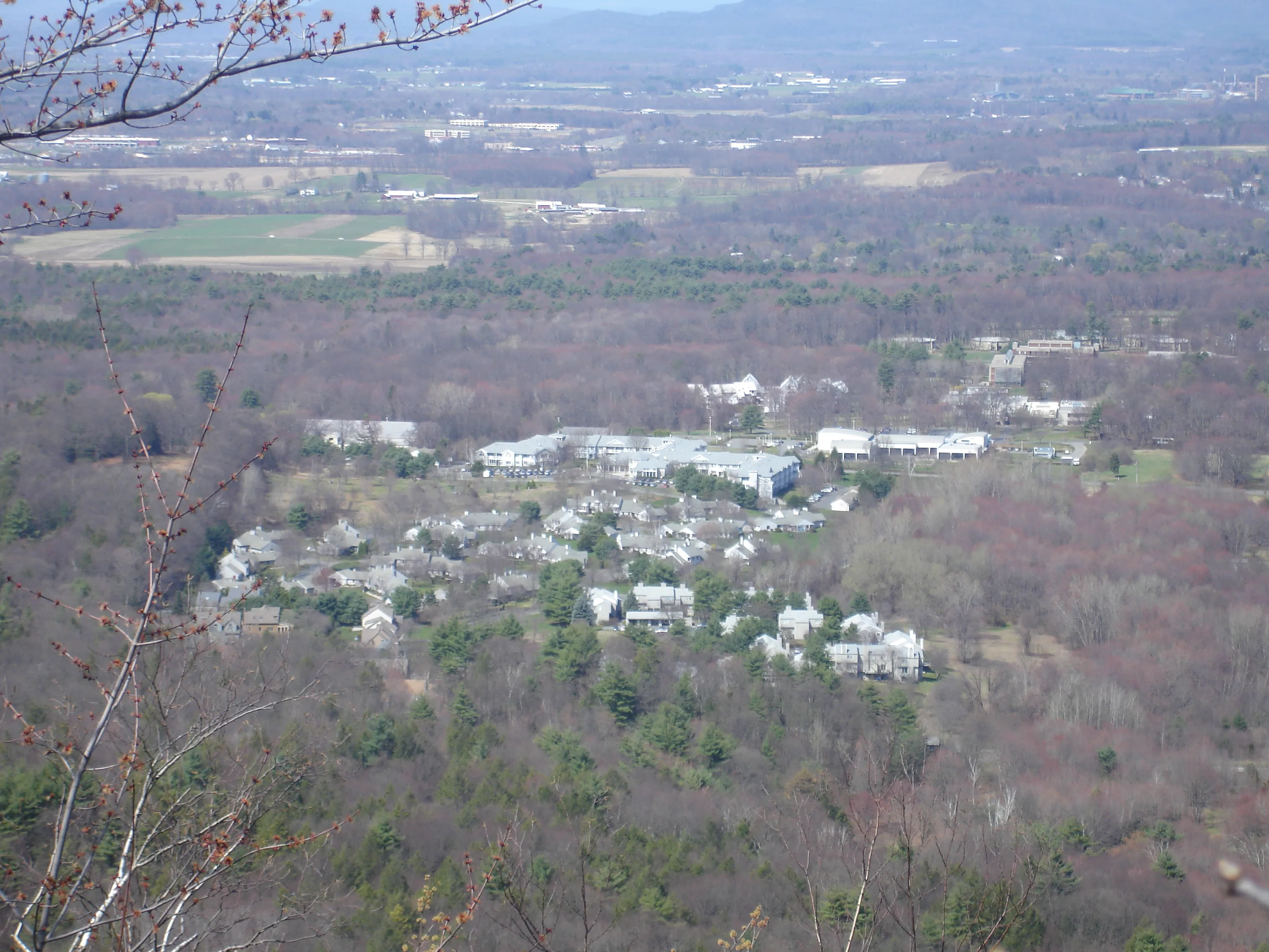
A 200-million-year-old trap-rock ridge running east–west across the Pioneer Valley, with Mount Norwottuck at the center, the Notch on Route 116, the Horse Caves below the summit, and the New England Trail crossing the high ground.
Amherst · 8 mi · Moderate
An 843-acre state park on the western end of the Holyoke Range, donated to the Commonwealth in 1940. Mount Holyoke summit and the historic Summit House at the top, an auto road up the Hadley side, and meadows and ponds at the base.
Hadley · 3 mi · Moderate
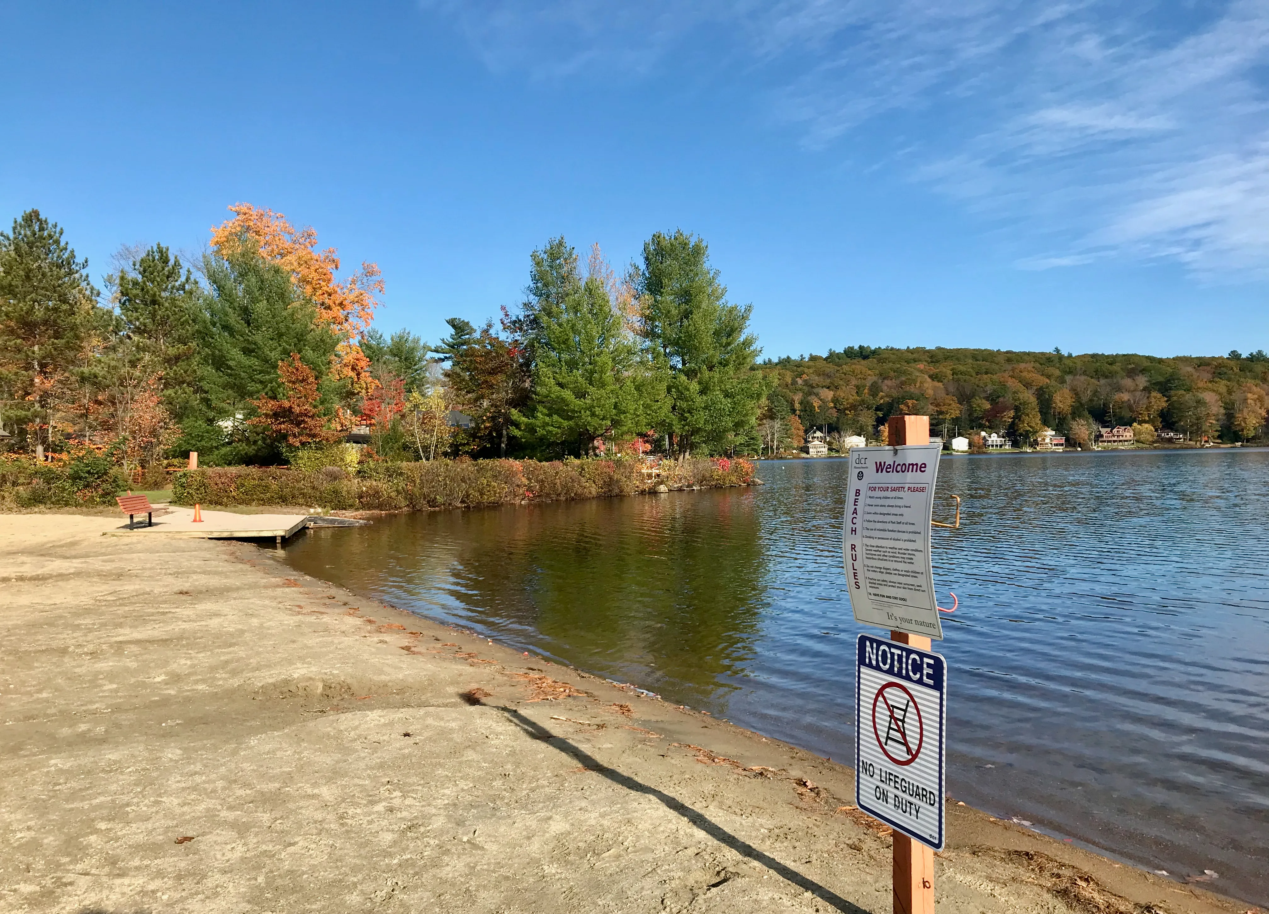
A small Massachusetts DCR state park on the shore of Lake Wyola in Shutesbury. About 42 acres of woods and shoreline around a sand swimming beach, paddle-craft launch, and picnic grove on a 128-acre upland pond in the Franklin County hills.
Shutesbury · Easy
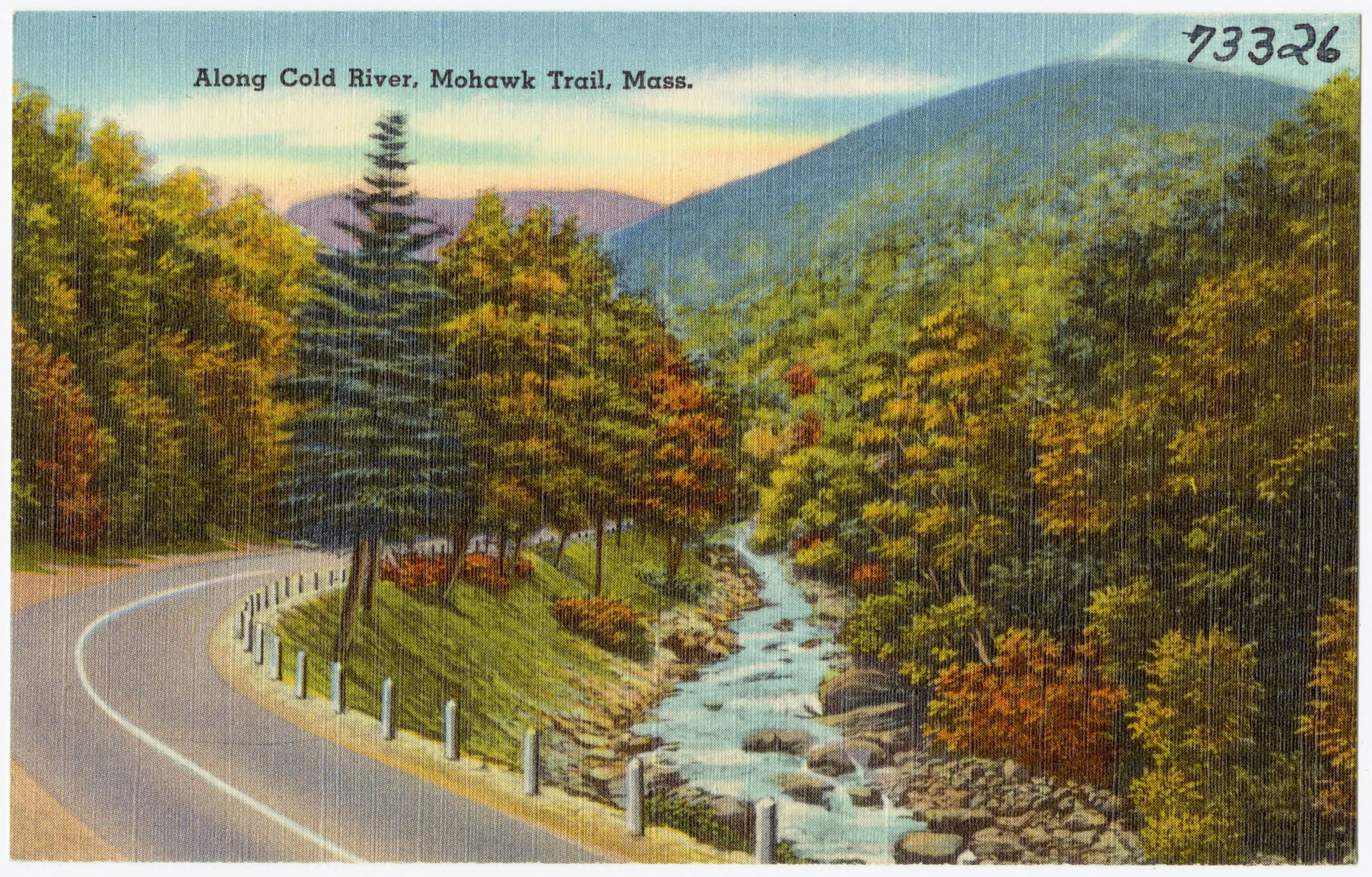
A roughly 6,000-acre DCR forest along Route 2 in Charlemont, Hawley, and Savoy, with the Cold River gorge, the Mahican-Mohawk Trail, a riverside campground, and one of the most significant stands of old-growth white pine in the Northeast.
Charlemont · Moderate
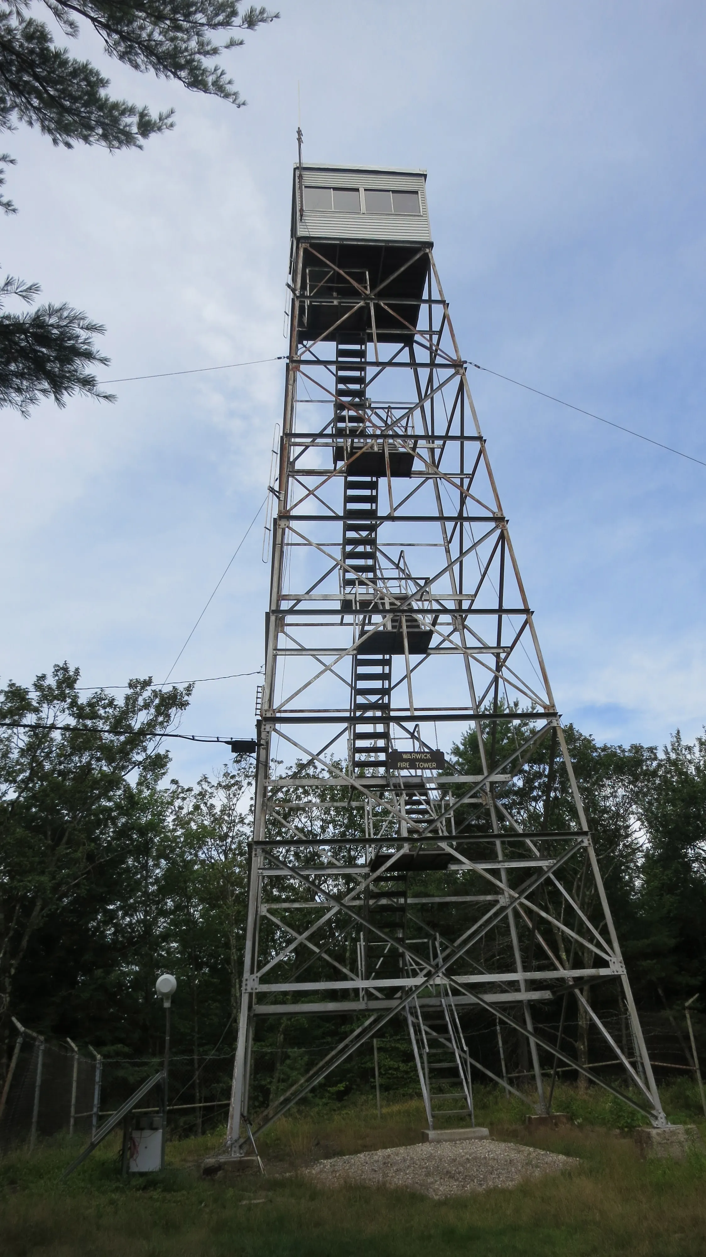
A 1,578-acre DCR forest in Warwick built around the 1,621-foot summit of Mount Grace, often cited as the third-highest peak east of the Connecticut River, with a steel fire tower the public can climb and the New England National Scenic Trail running over the top.
Warwick · 5 mi · Moderate
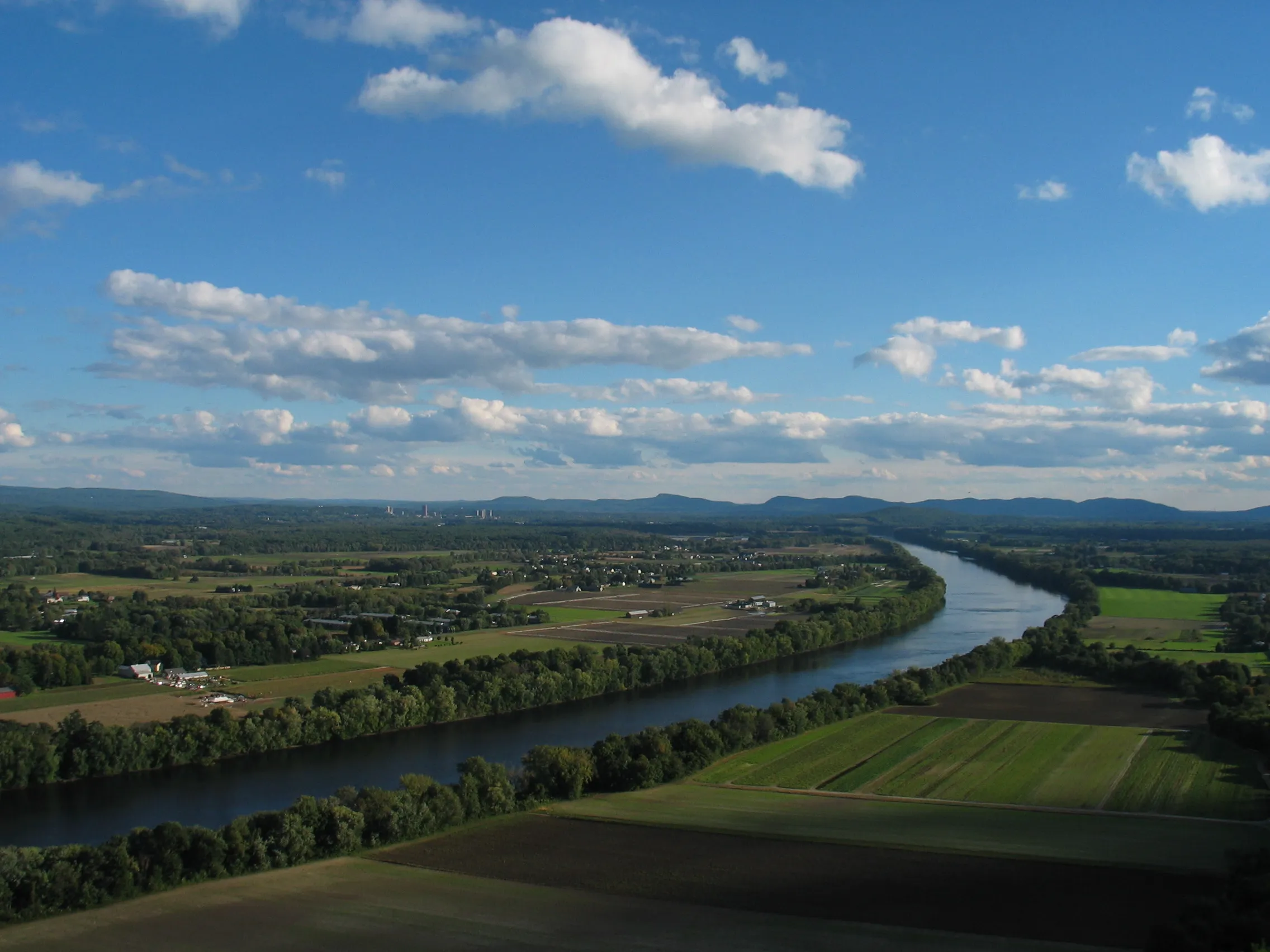
A 652-foot basalt ridge at the north end of the valley with a two-tier observation deck and one of the most-photographed Connecticut River views in Massachusetts.
South Deerfield · Easy
A 1,269-foot mountain east of the Connecticut River in Sunderland and Leverett, with a fire tower offering a 360° view at the summit, a glacial kettle pond, and several waterfalls along the lower trails.
Sunderland · 4 mi · Moderate
A 1,967-acre traprock ridge above the Connecticut River in Holyoke, with 22 miles of trails, Lake Bray, and a world-class fall hawk-migration lookout.
Holyoke · 22 mi · Moderate
A roughly 1,360-acre town park in Rowe. Pelham Lake at its center, a residents' beach and picnic area, and a network of trails through forested uplands.
Rowe · Easy
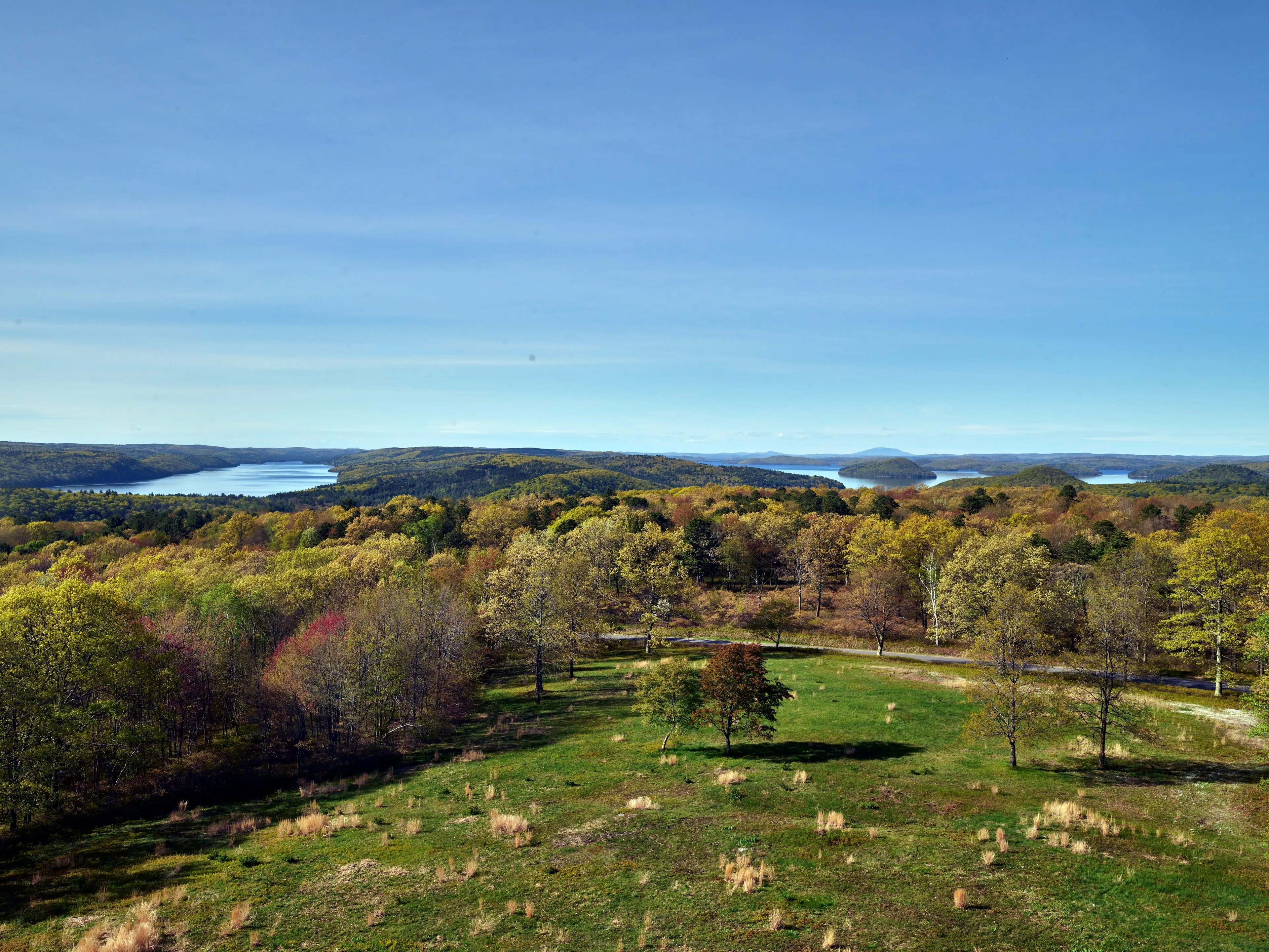
The public-access portion of the Quabbin Reservoir watershed in Belchertown. About 3,000 acres of woods, an auto loop, the Winsor Dam, the Enfield Lookout, and Quabbin Hill, all wrapped around Boston's drinking-water reservoir.
Belchertown · 6 mi · Easy
Roughly 1,025 acres along the Westfield River in Agawam, with more than 20 miles of trails through pine-oak forest and one of the larger undeveloped parks in the southern valley.
Agawam · 20 mi · Easy
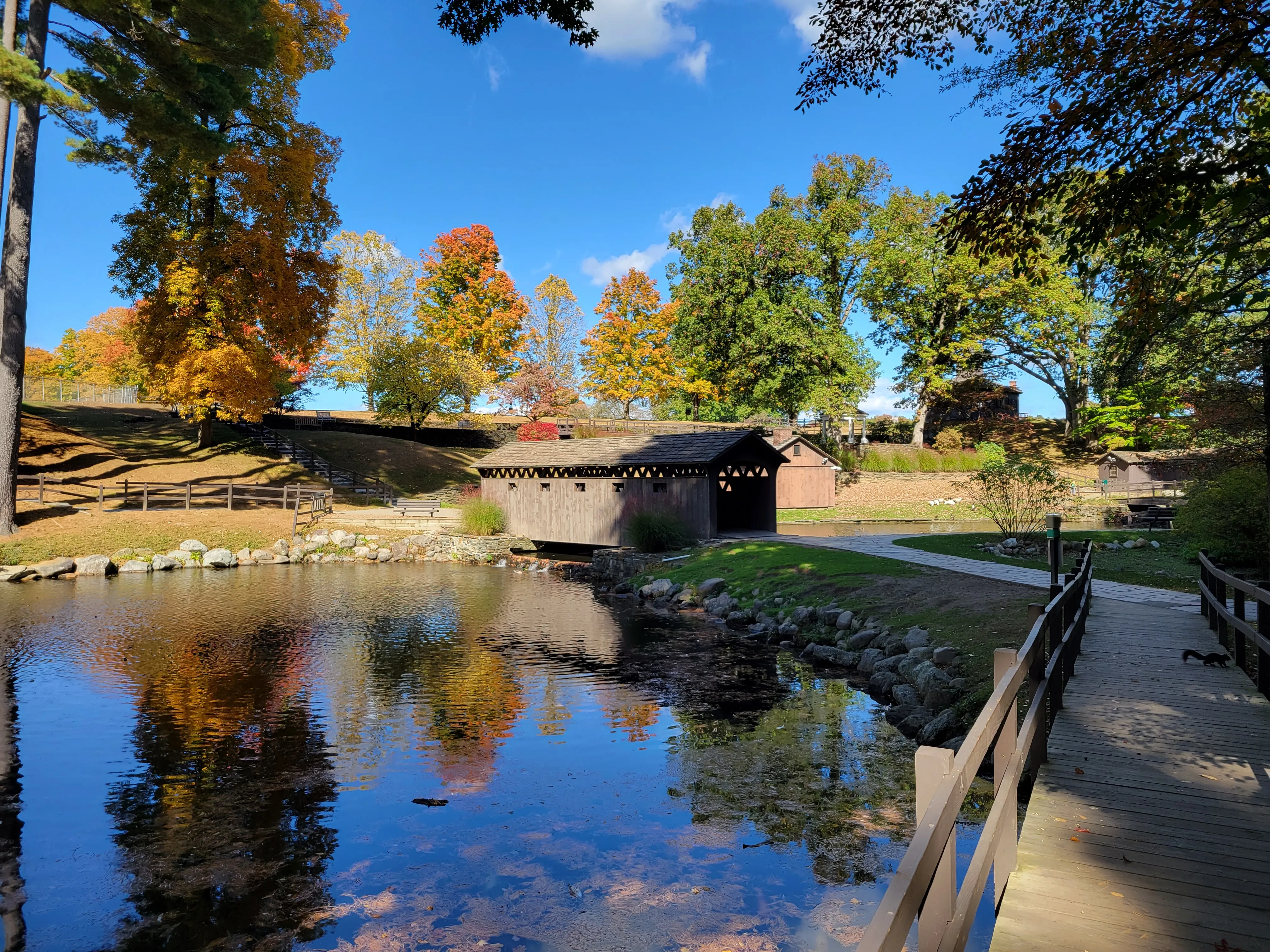
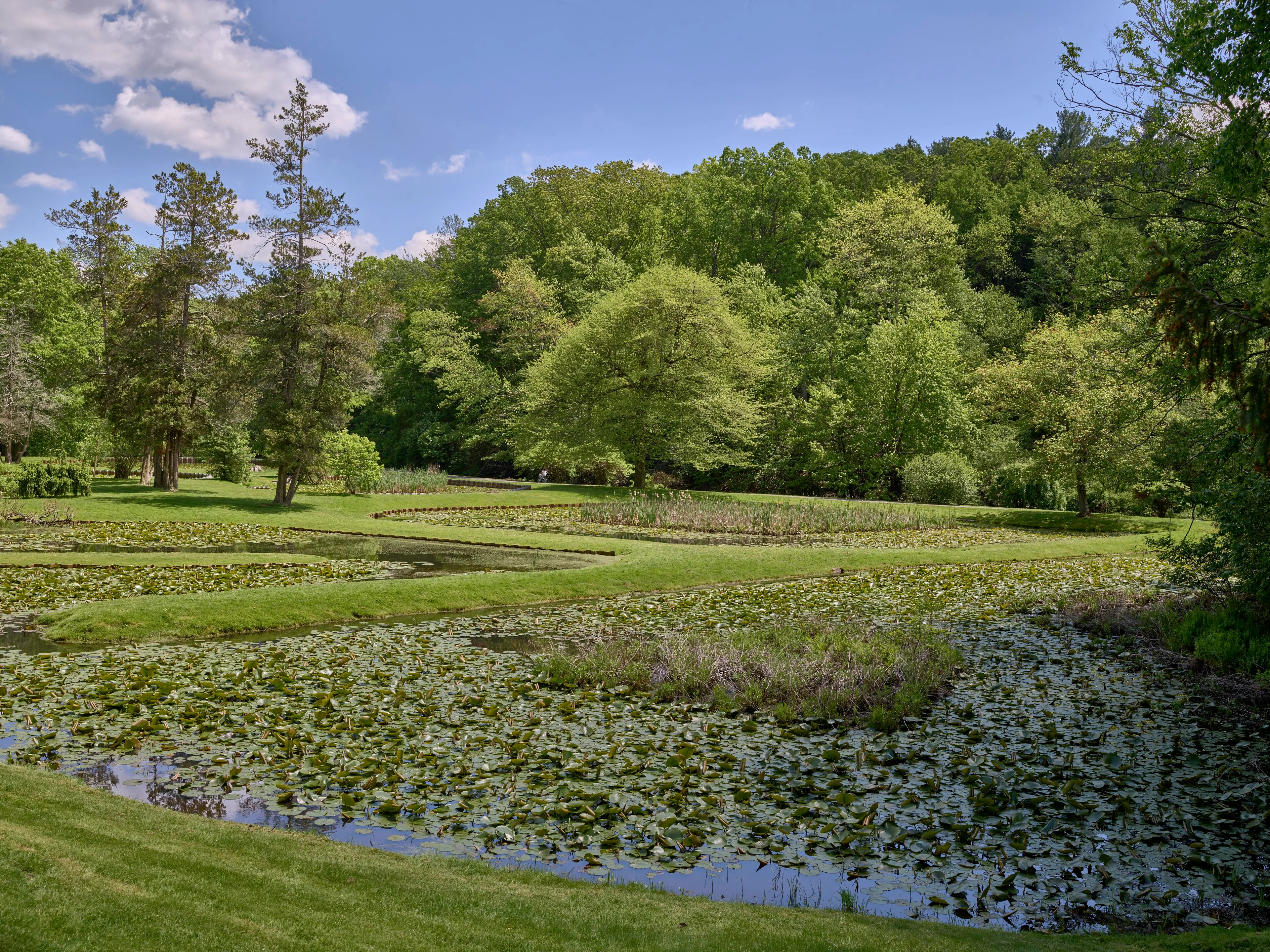
A 300-acre private nonprofit park on the west side of Westfield, free to the public, with formal rose and rhododendron gardens, an arboretum, an Asian tea house, a covered bridge over Colonial Pond, and a 98-foot carillon tower.
Westfield · Easy
A 4,415-acre DCR forest in the southern Berkshire foothills wrapped around Otis Reservoir, a 1,065-acre lake with a boat ramp, swimming beach, and a peninsula campground that is one of the largest in the Massachusetts state forest system.
Tolland · Easy
A 7,566-acre DCR forest in the Franklin County uplands east of the Connecticut River. Ruggles Pond at the day-use core, Wickett Pond to the south, and miles of CCC-built woods roads through a rolling forested plateau.
Wendell · Easy