WaterwayFranklin
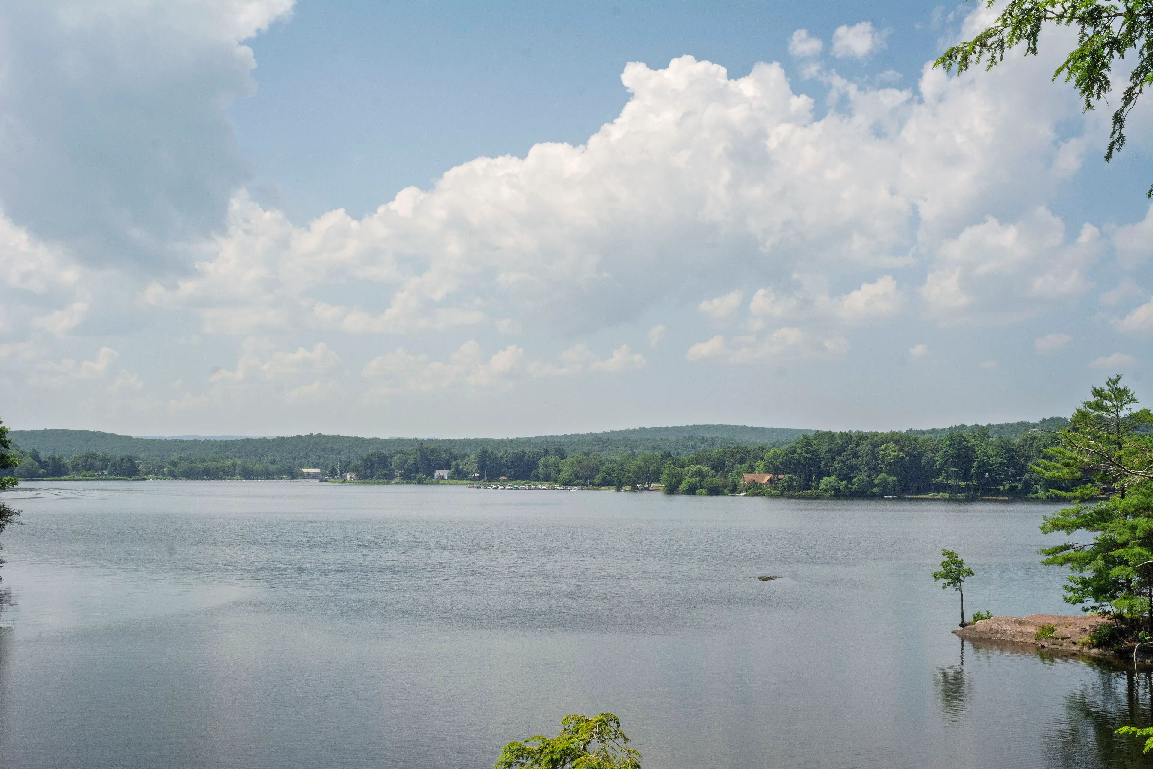
Barton Cove
A Connecticut River recreation area on the Turners Falls impoundment. Paddle rentals, a campground, a short peninsula trail, and resident bald eagles nesting since the 1980s.
Gill
Outdoors · County
Outdoor places in Franklin County across the Pioneer Valley.
A Connecticut River recreation area on the Turners Falls impoundment. Paddle rentals, a campground, a short peninsula trail, and resident bald eagles nesting since the 1980s.
Gill
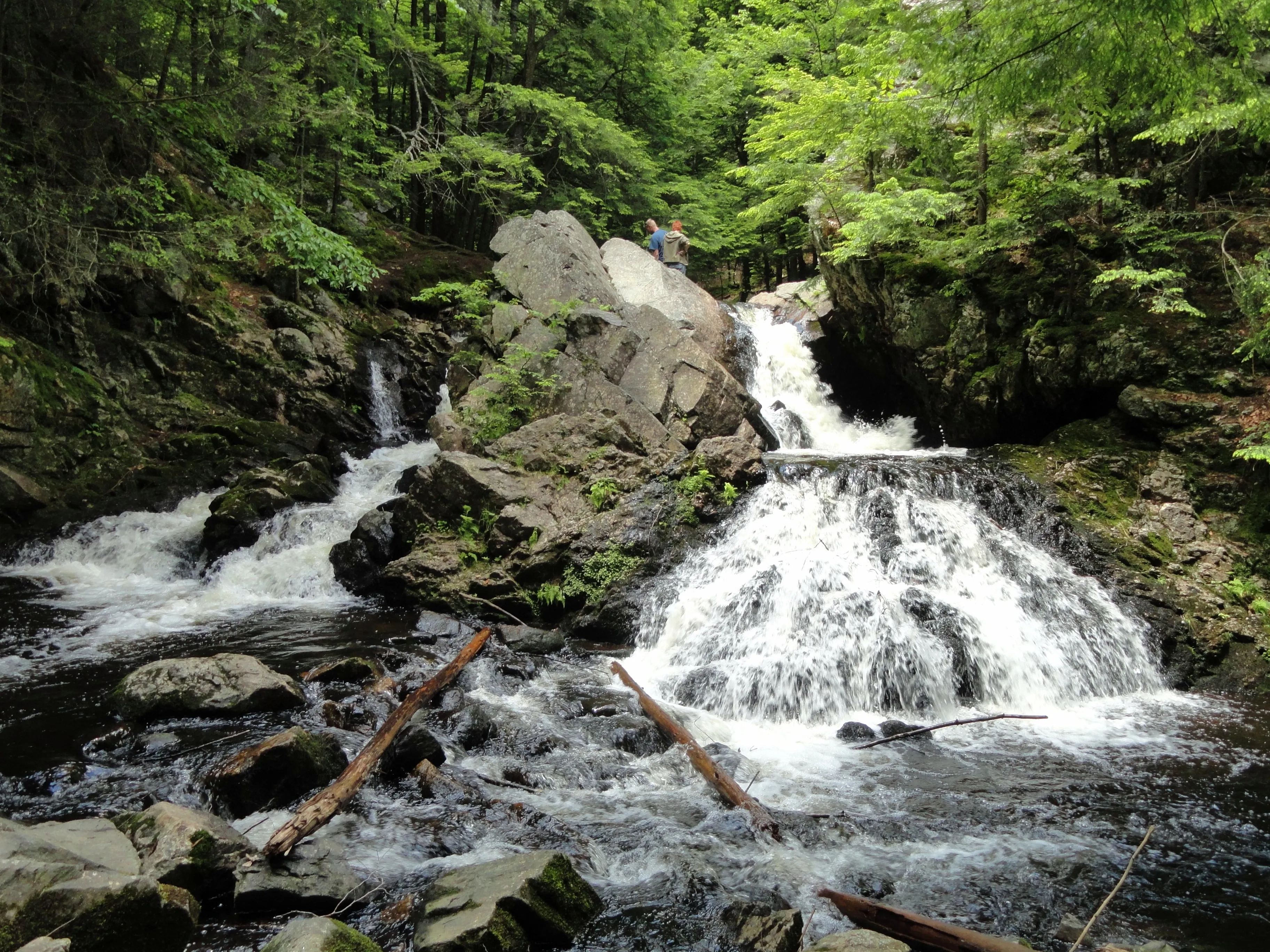
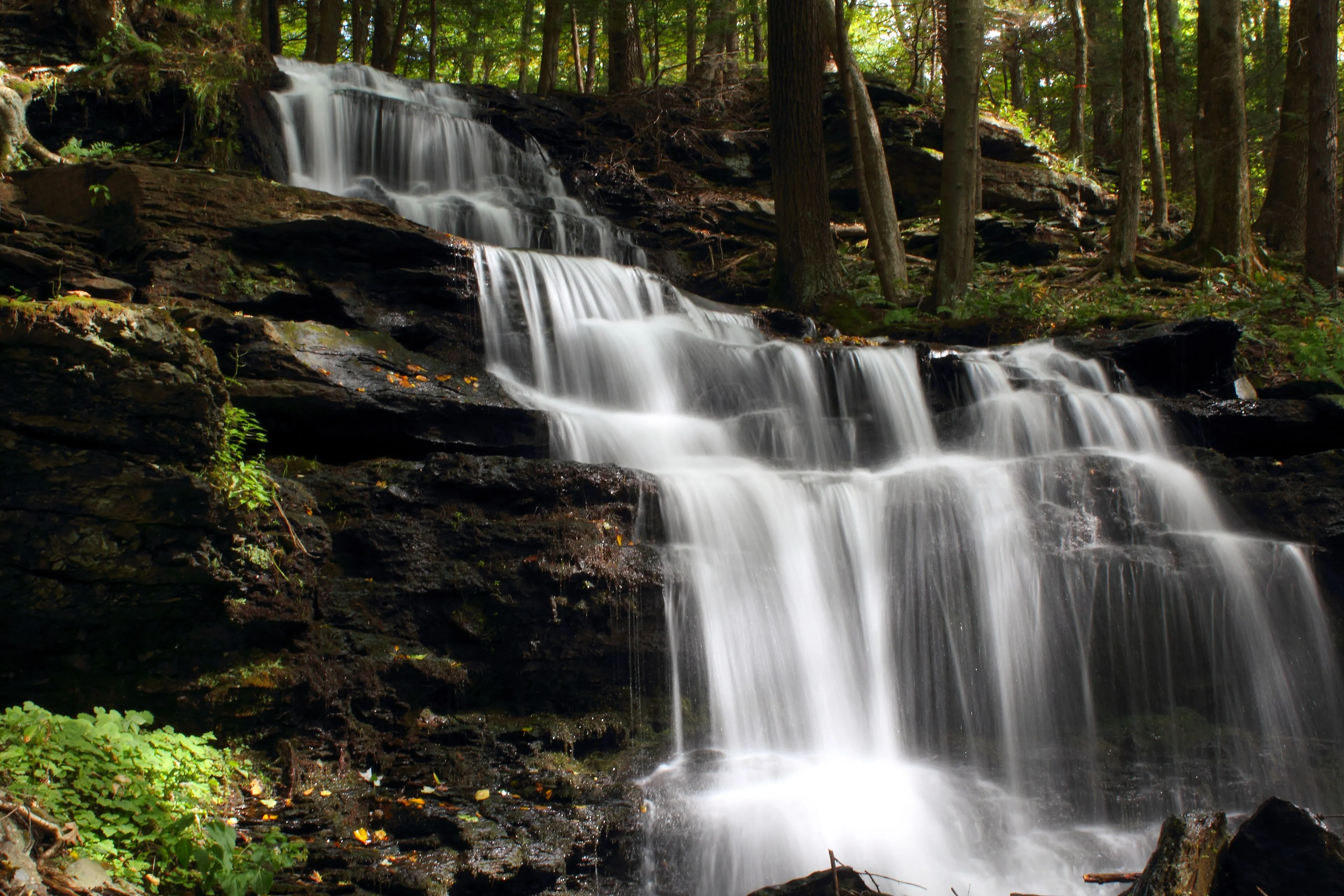
A small Trustees of Reservations property in New Salem where the Middle Branch of the Swift River drops about 12 feet into a hemlock-shaded gorge, reached by a short trail off Neilson Road.
New Salem · 0.4 mi · Easy
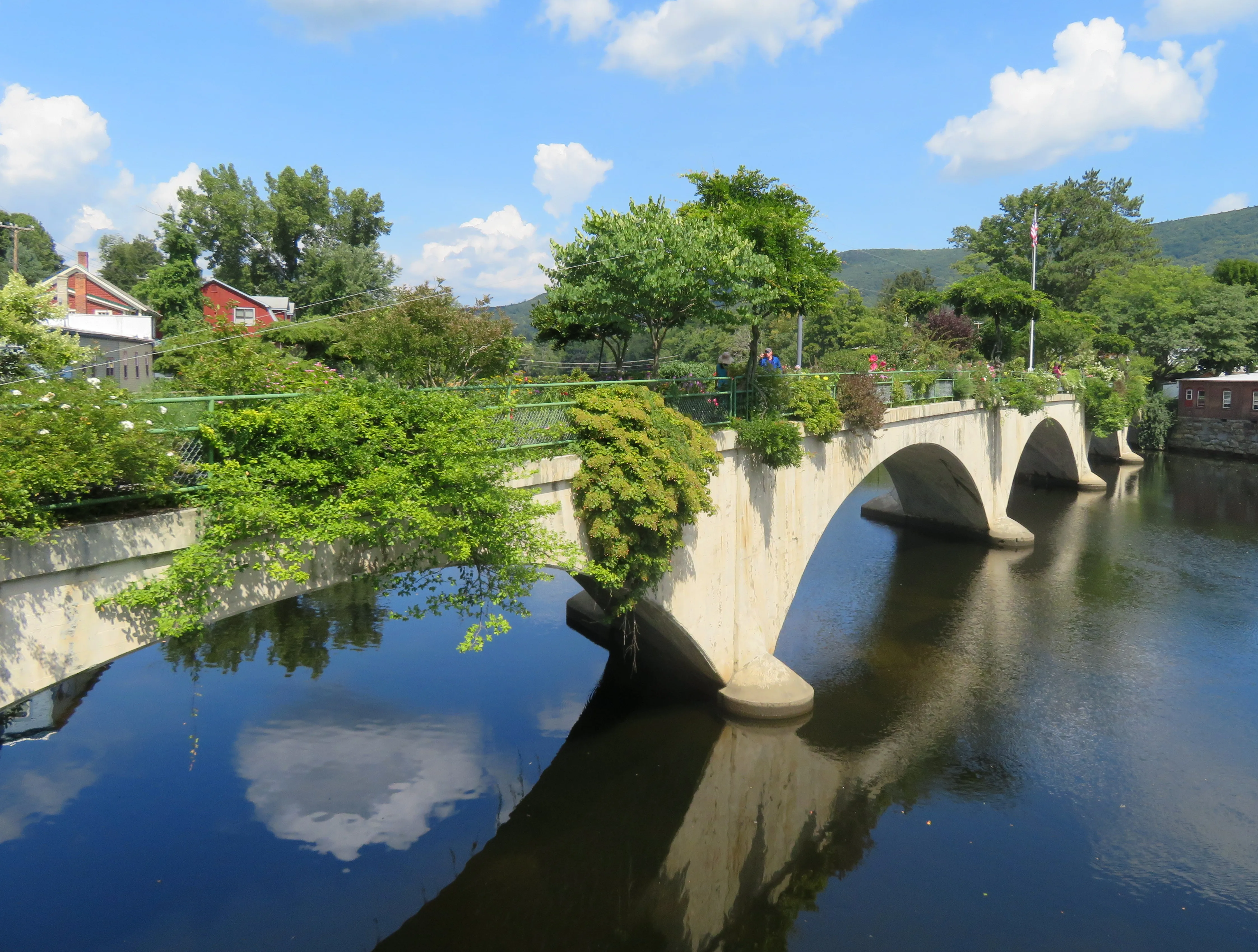
The Deerfield River drops through Shelburne Falls over a bed of glacial potholes, with the Bridge of Flowers overhead and class II-III release-based whitewater upstream.
Shelburne
A 2,422-acre DCR forest north of the Millers River in Erving, Warwick, and Orange, built around Laurel Lake, with a swimming beach, a seasonal campground, and a network of woods roads and trails through the rolling Franklin County uplands.
Erving · Easy
A Mass Audubon sanctuary in the hills above Shelburne Falls, with about five miles of trails and a famous clifftop overlook taking in the Deerfield River valley and Mount Greylock on the horizon.
Shelburne · 5 mi · Moderate
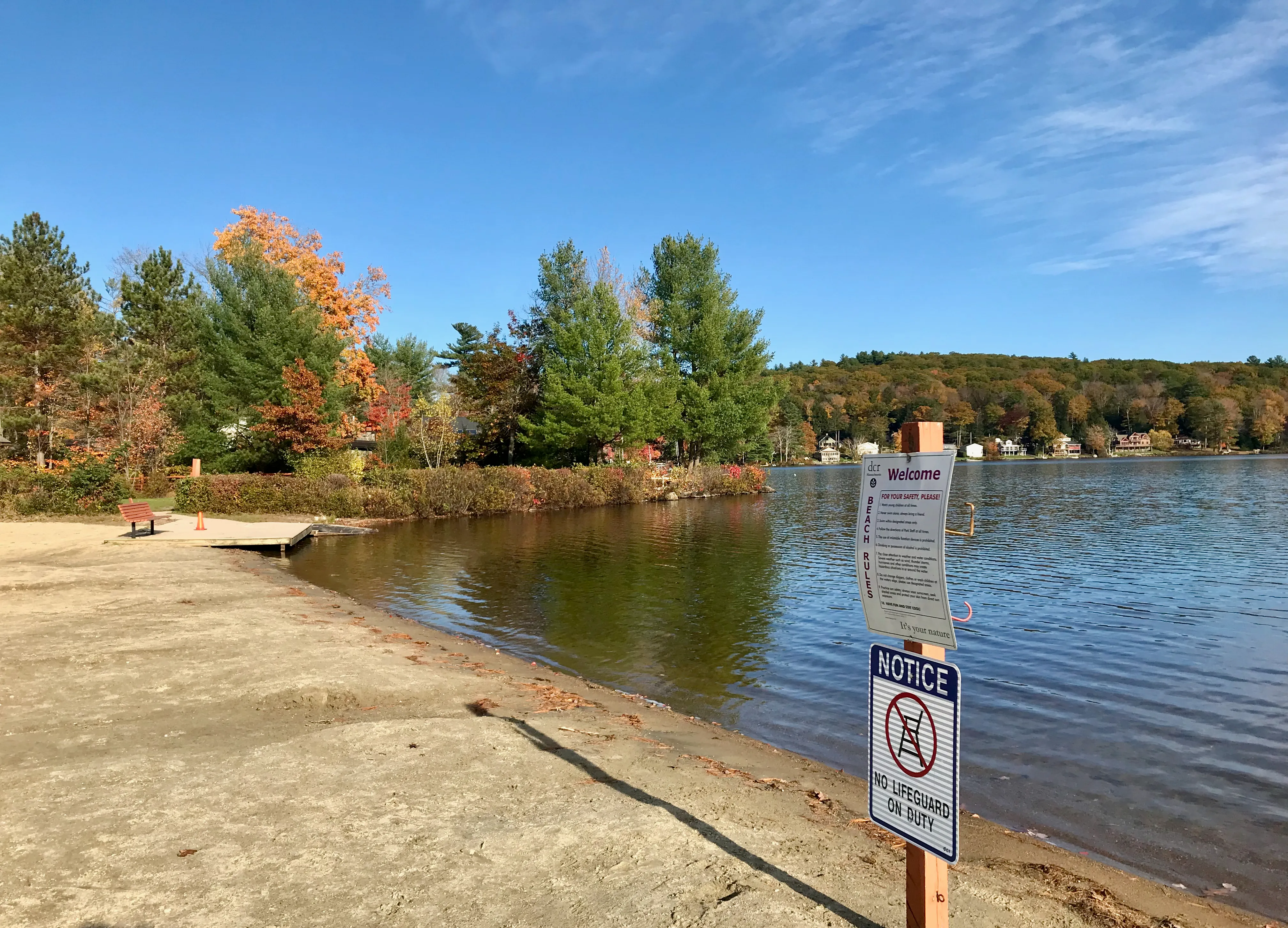
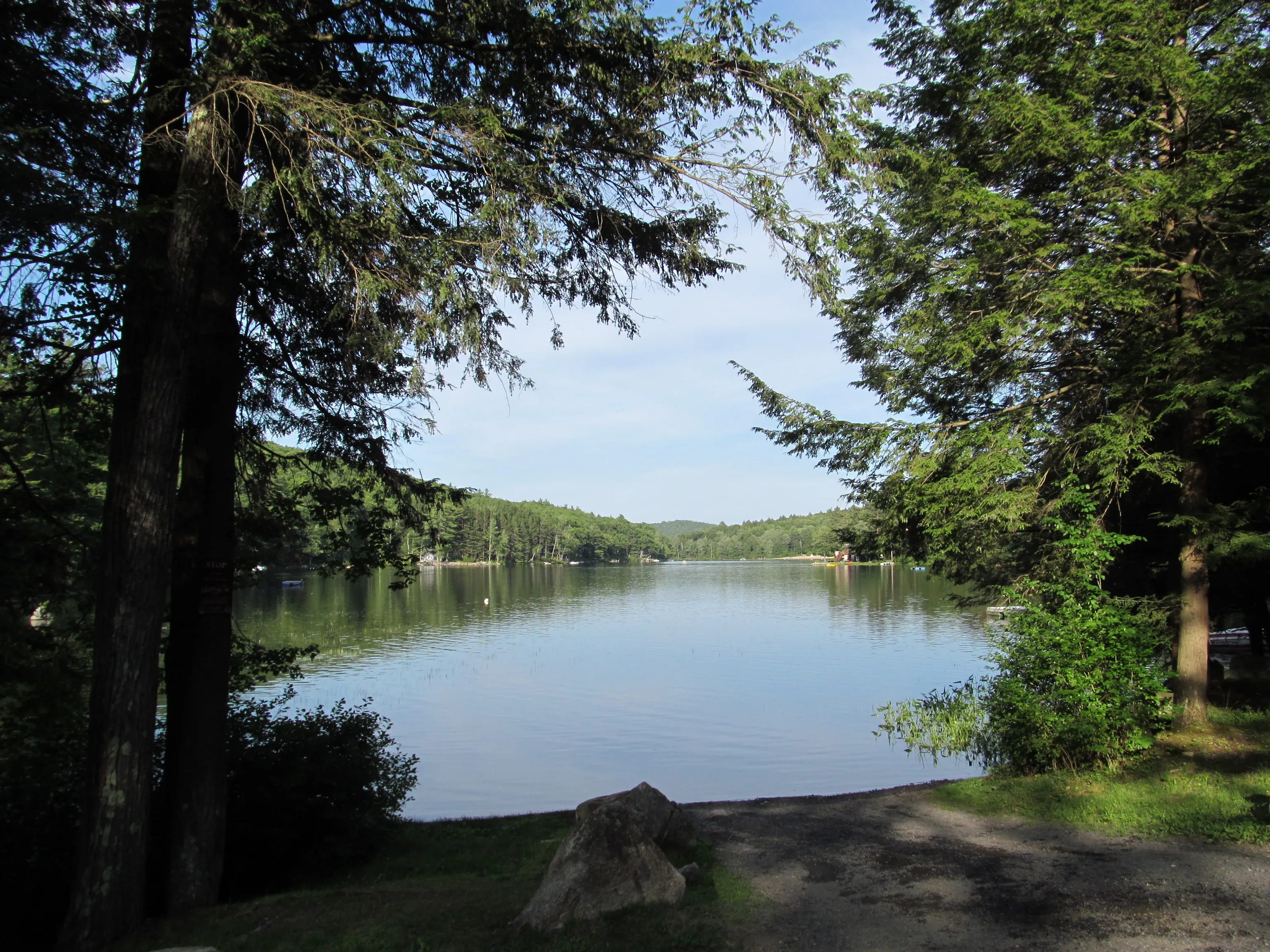
A small Massachusetts DCR state park on the shore of Lake Wyola in Shutesbury. About 42 acres of woods and shoreline around a sand swimming beach, paddle-craft launch, and picnic grove on a 128-acre upland pond in the Franklin County hills.
Shutesbury · Easy
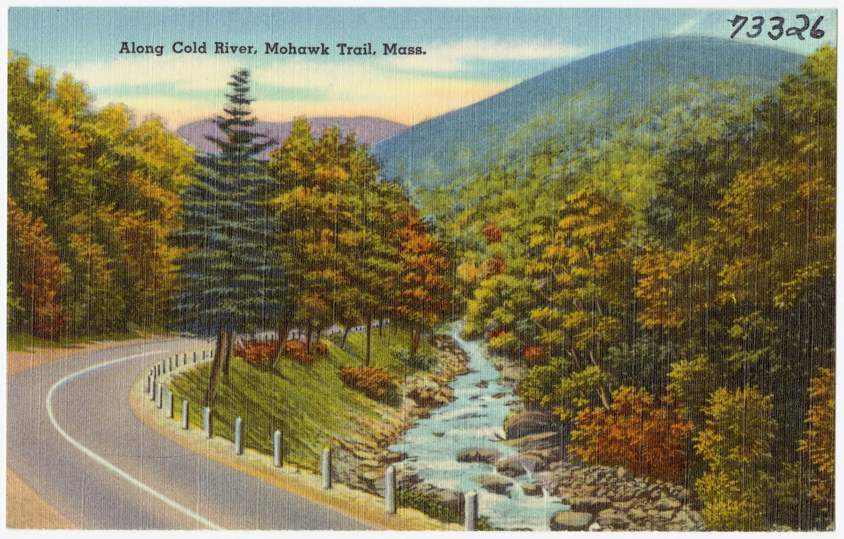
A roughly 6,000-acre DCR forest along Route 2 in Charlemont, Hawley, and Savoy, with the Cold River gorge, the Mahican-Mohawk Trail, a riverside campground, and one of the most significant stands of old-growth white pine in the Northeast.
Charlemont · Moderate
A 1,500-acre pitch pine–scrub oak barrens managed by prescribed fire. Rare habitat in New England and a reliable spot for grasshopper sparrow and whip-poor-will.
Montague · Easy
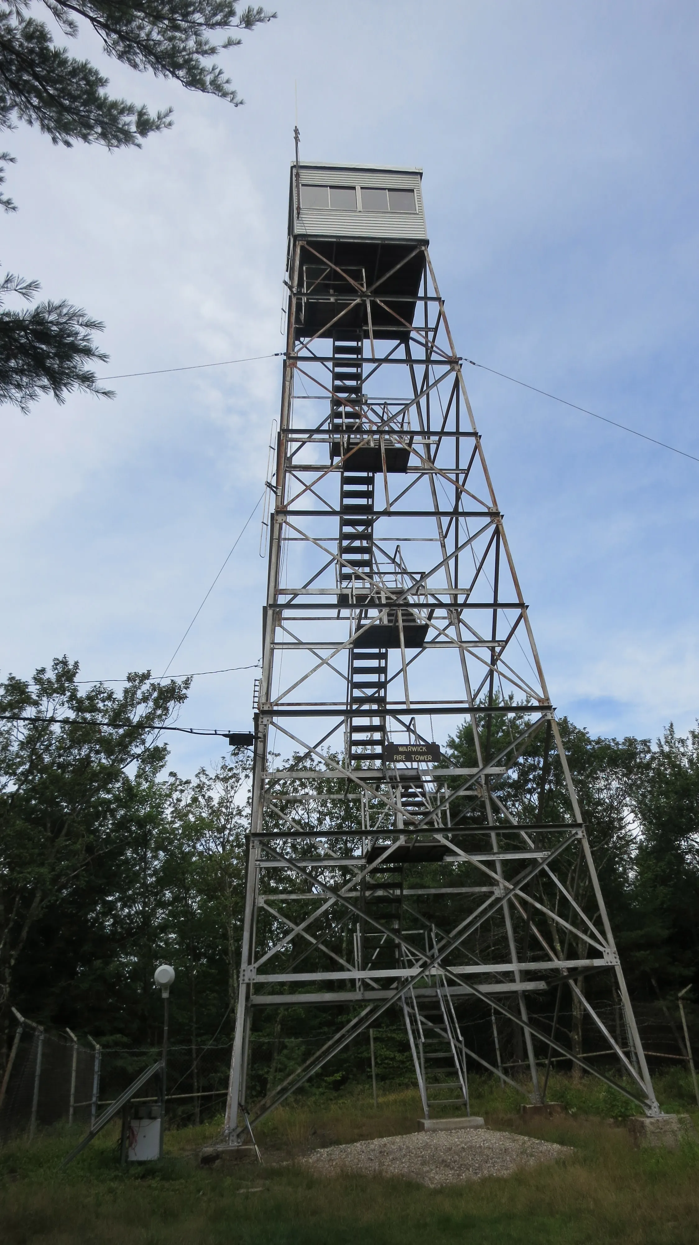
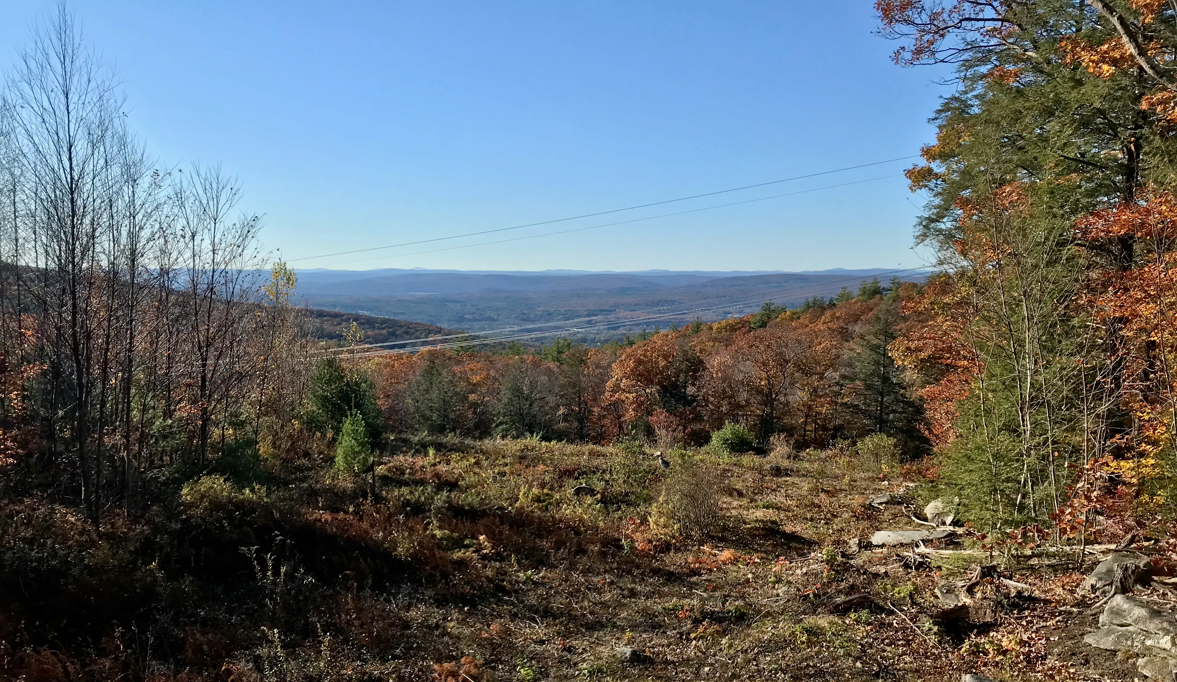
A 1,578-acre DCR forest in Warwick built around the 1,621-foot summit of Mount Grace, often cited as the third-highest peak east of the Connecticut River, with a steel fire tower the public can climb and the New England National Scenic Trail running over the top.
Warwick · 5 mi · Moderate
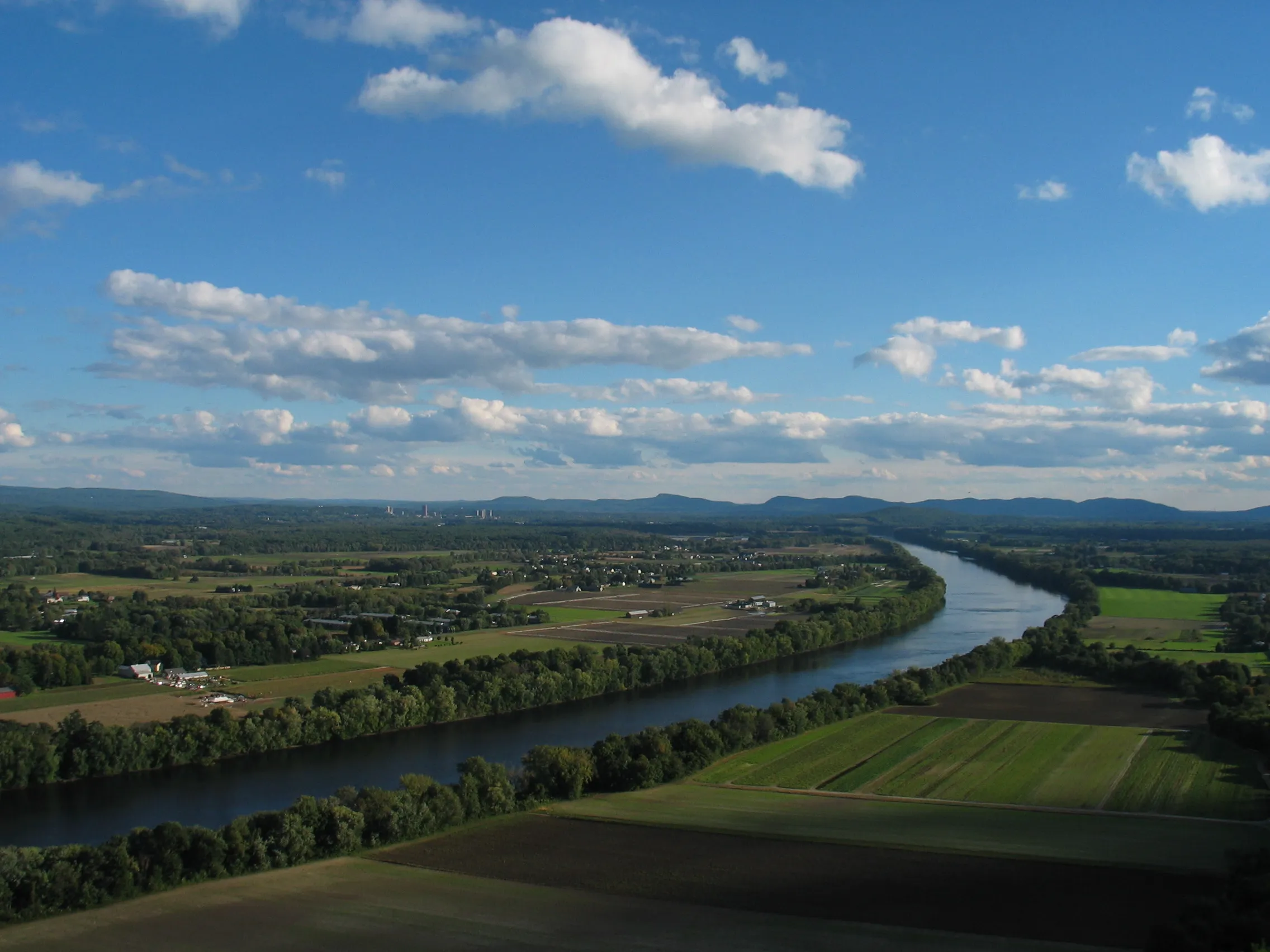
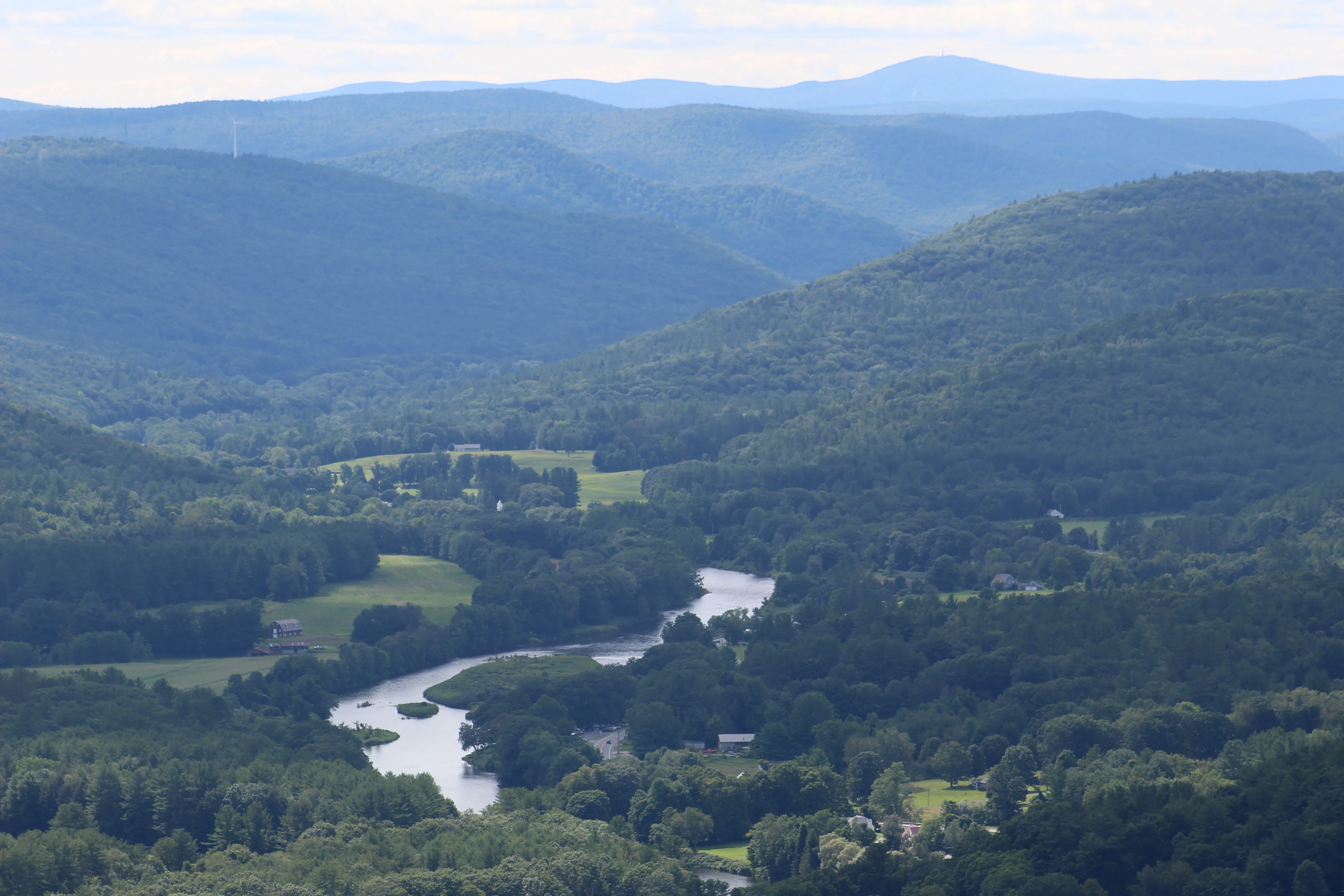
A 652-foot basalt ridge at the north end of the valley with a two-tier observation deck and one of the most-photographed Connecticut River views in Massachusetts.
South Deerfield · Easy
A 1,269-foot mountain east of the Connecticut River in Sunderland and Leverett, with a fire tower offering a 360° view at the summit, a glacial kettle pond, and several waterfalls along the lower trails.
Sunderland · 4 mi · Moderate
A four-season recreation area on the lower slopes of FirstLight's Northfield Mountain pumped-storage project, with about 26 miles of multi-use trails for hiking, mountain biking, and cross-country skiing, a visitor center on Route 63, and the Connecticut River pavilion just downhill.
Northfield · 26 mi · Moderate
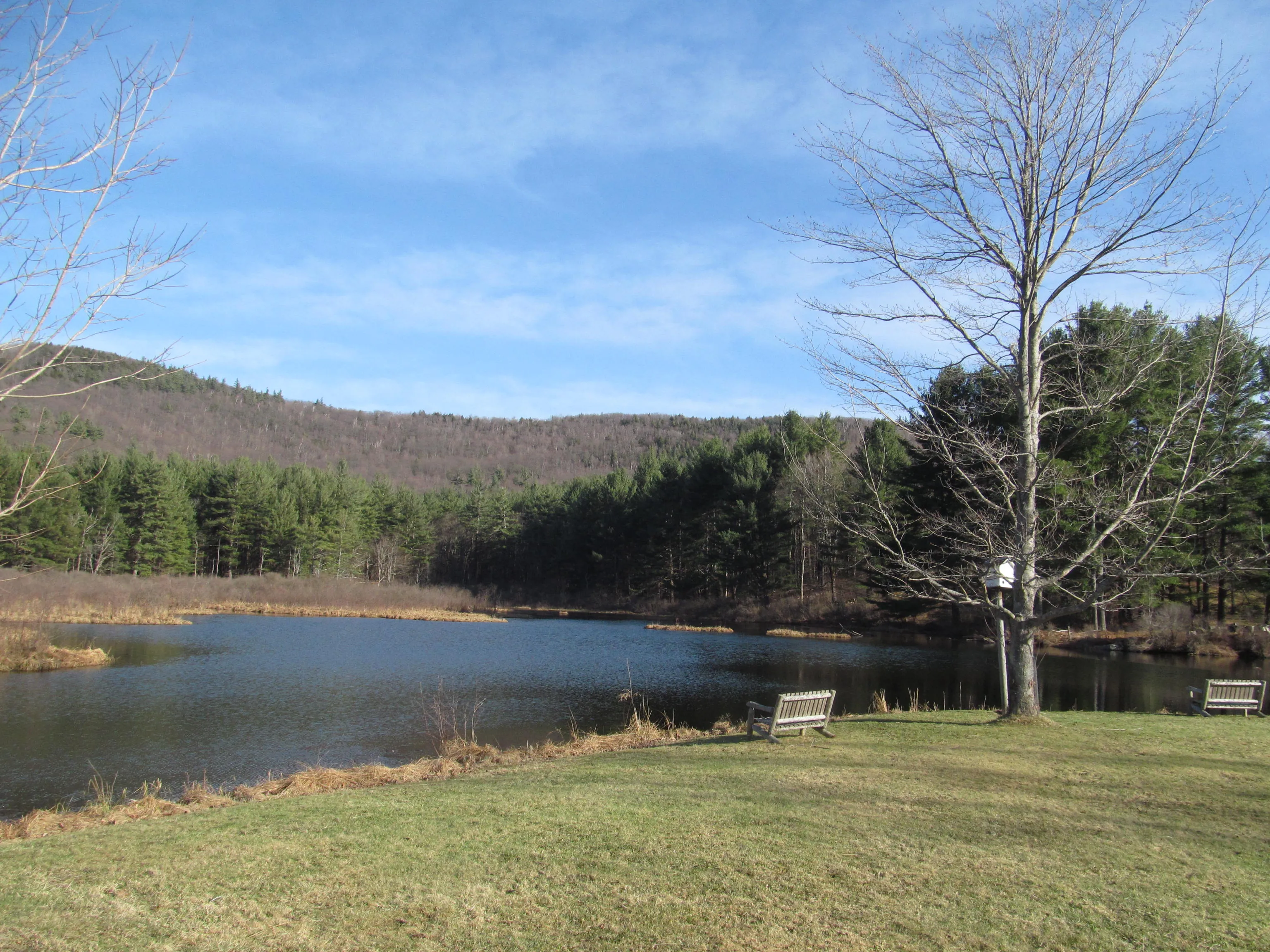
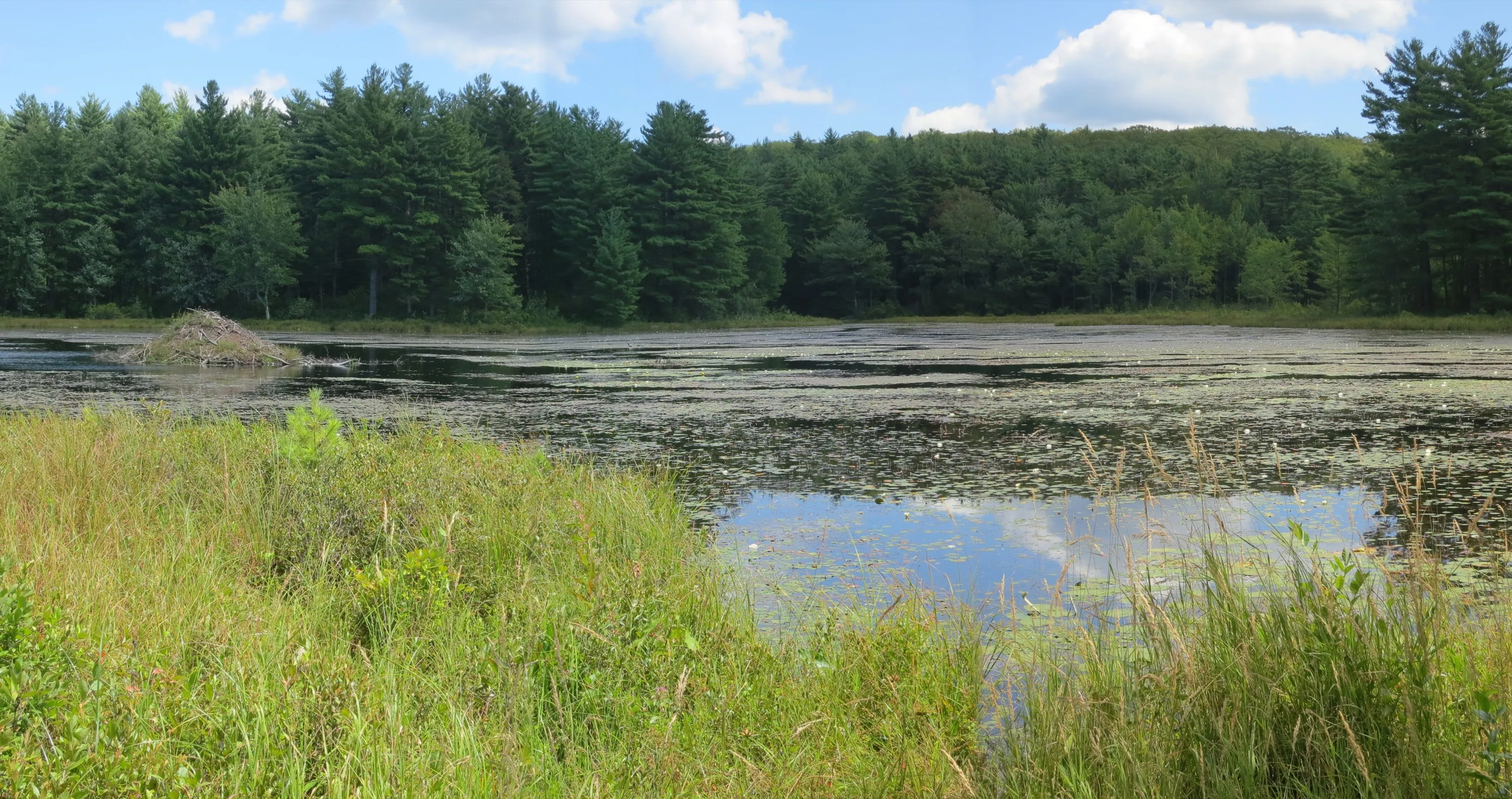
A roughly 1,360-acre town park in Rowe. Pelham Lake at its center, a residents' beach and picnic area, and a network of trails through forested uplands.
Rowe · Easy
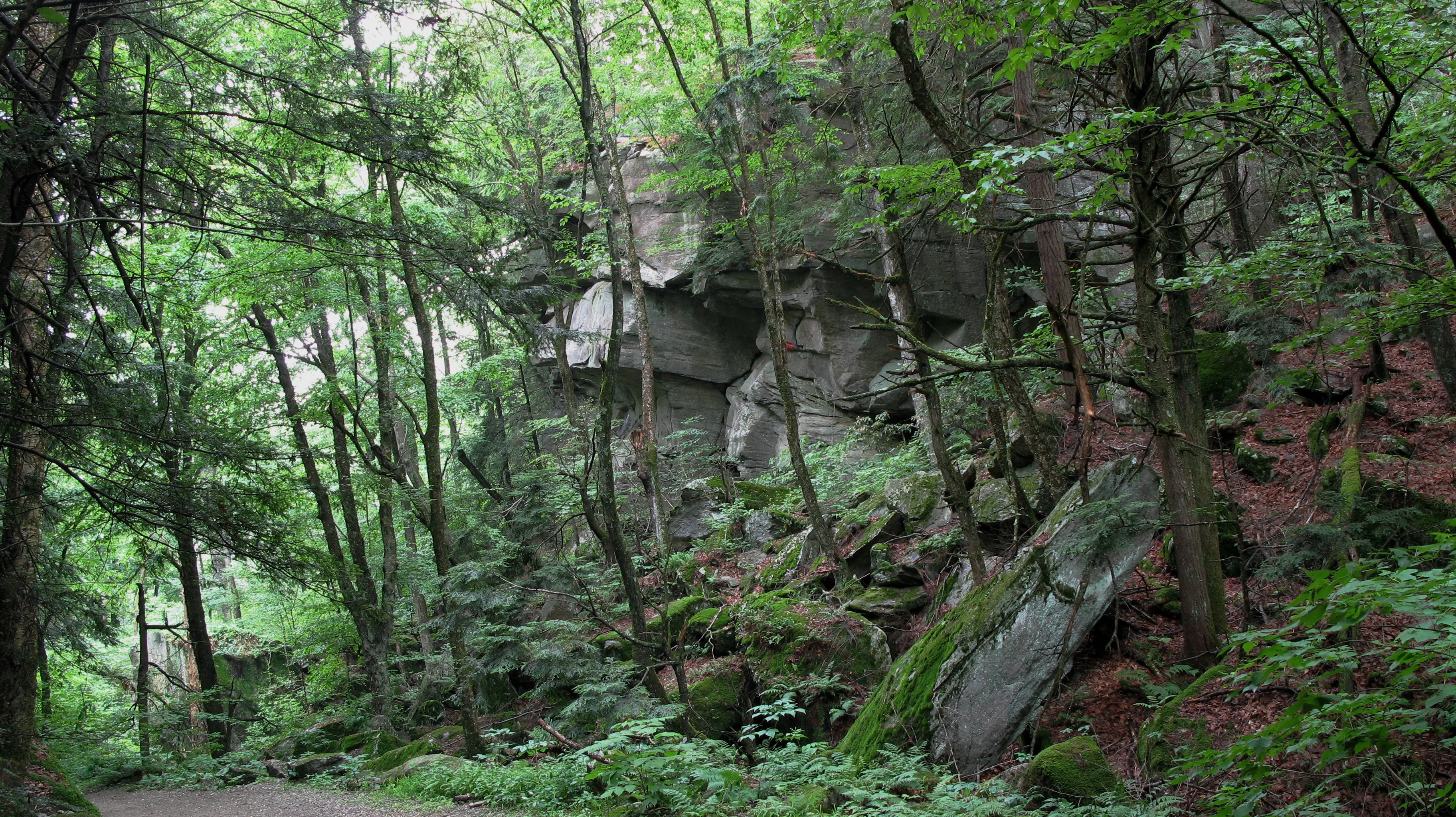
A boulder-choked glacial ravine in Leverett, walkable along an old town road now used mainly as a recreation corridor and a prime example of a New England post-glacial chasm.
Leverett · 2 mi · Easy
A 7,566-acre DCR forest in the Franklin County uplands east of the Connecticut River. Ruggles Pond at the day-use core, Wickett Pond to the south, and miles of CCC-built woods roads through a rolling forested plateau.
Wendell · Easy