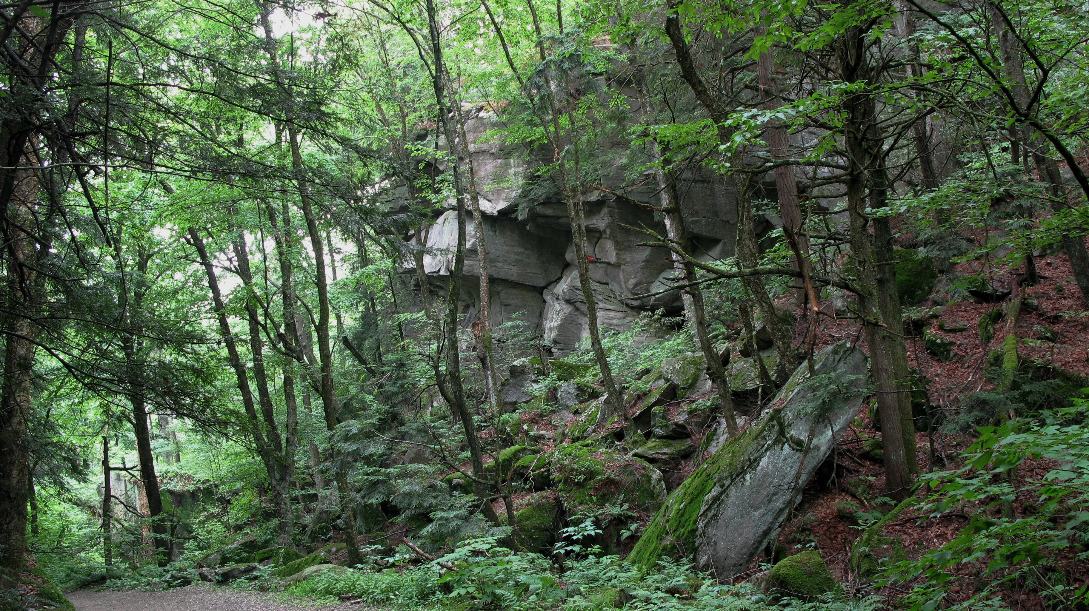
Rattlesnake Gutter is a narrow glacial ravine in Leverett, probably formed when glacial meltwater or a temporary glacial lake exploited a fracture in the bedrock, and now filled with house-sized boulders. The old dirt town road that runs through it (also called Rattlesnake Gutter Road) has long gates at either end and is now effectively a walking corridor.
The ravine walls are dense hemlock and mixed hardwood; the floor collects cold air and snow, so wildflowers run a few weeks behind the valley floor and the first snow often lingers here into April.
What to know
- No trail fee, no gate: a public way, not a formal park.
- Conditions: the road surface is rough and can wash out; it is usually passable on foot year-round, though it can be icy.
- Stewardship: the Town of Leverett is responsible for Rattlesnake Gutter Road; local trails are maintained by the Leverett Trails Committee, co-sponsored by the Leverett Conservation Commission and the Rattlesnake Gutter Trust.
- Approach: from the south, park at the pull-off where North Leverett Road meets the gutter; walk north into the ravine.