Erving State Forest is a 2,422-acre DCR forest north of the Millers River, spanning Erving, Warwick, and Orange in the Franklin County uplands. The recreational core is Laurel Lake: a small clear pond with a swimming beach, a picnic area, a boat ramp, and a 27-site seasonal campground, all built out by the Civilian Conservation Corps in the 1930s and run by DCR today.
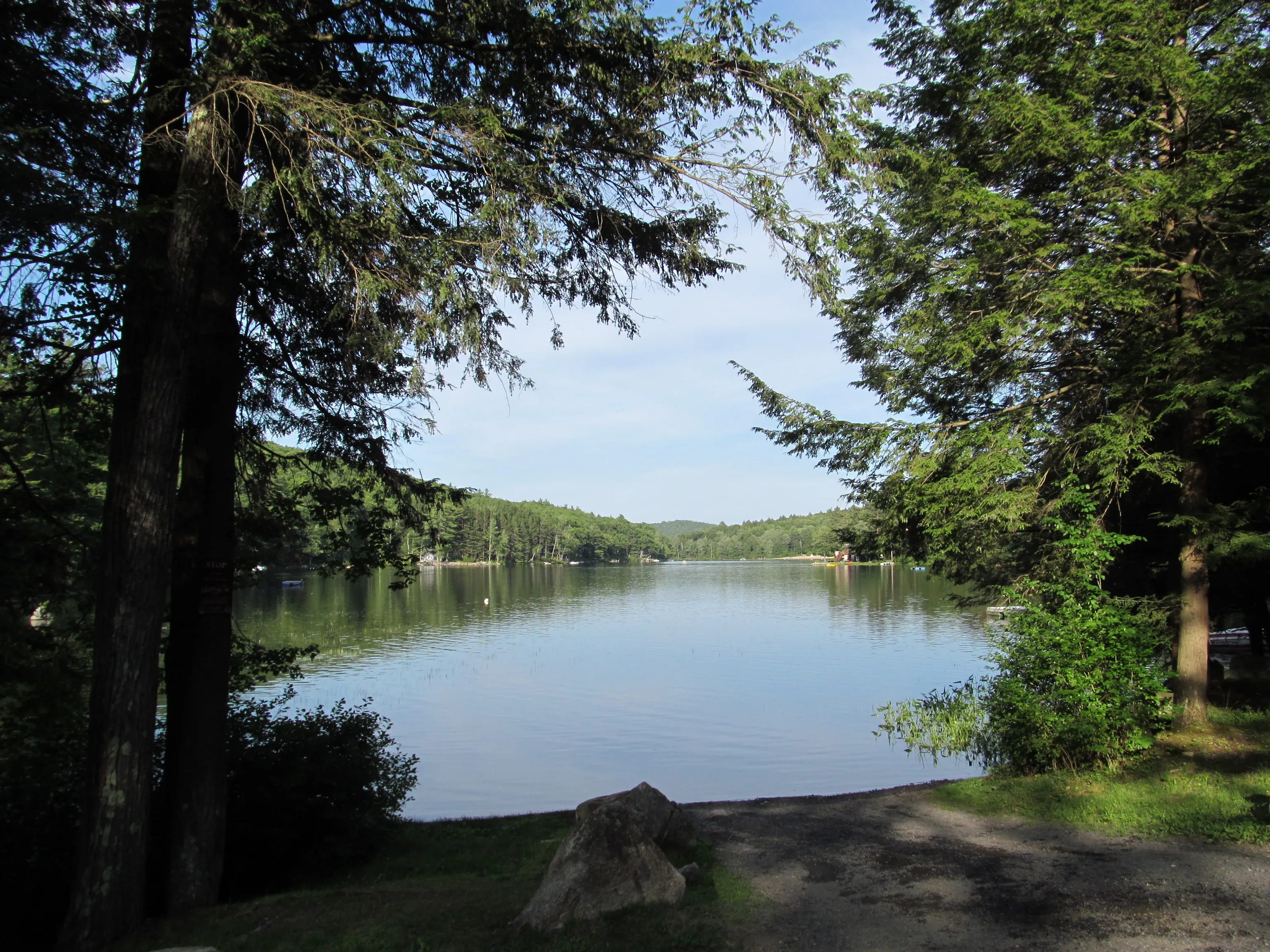
Laurel Lake
Laurel Lake is the developed center of the forest. The day-use area on the lake’s south shore has a sand swimming beach with seasonal lifeguards, picnic tables and grills under the pines, and a cartop boat launch. Boats are non-motorized or limited to small electric motors. Fishing is open from shore and from boats with a Massachusetts license; the lake holds bass, perch, and stocked trout.
The 27-site campground sits in the woods above the beach, a quiet state-forest loop with restrooms and showers, generally staffed from late May through Labor Day weekend. Sites are reservable through the state park reservation system.
Trails and woods roads
The forest is laced with old woods roads and footpaths used by hikers, mountain bikers, and (in winter) cross-country skiers and snowmobilers. The Laurel Trail loops the lake itself and connects to longer routes climbing into the hills north of the campground. A western parcel of the forest is crossed by the Metacomet-Monadnock Trail (now part of the New England National Scenic Trail), running north toward the New Hampshire line. Blazing on the side trails is uneven; bring a map.
The terrain is gentle to moderate (rolling forested ridges, wetland edges, and a few short climbs), making this an easier all-day walking forest than the steeper river-gorge country across the Millers in Erving village proper.
What to know
- Hours: the forest is open sunrise to sunset; the campground office is seasonal, generally late May through Labor Day weekend.
- Swimming is at Laurel Lake only.
- Pets: dogs are welcome on trails on leash, but not on the swimming beach during the lifeguarded season.
- Hunting: the forest is open to hunting in season; wear blaze orange in November.
- Winter: the gate is closed to cars, but the trails stay open to skiers, snowshoers, and snowmobilers on designated routes. The campground and beach are closed.