Warwick is a small Franklin County hill town of about 780 in the upland country at the New Hampshire line, in the northeastern corner of the Pioneer Valley. The town was incorporated on February 17, 1763, set off from a tract earlier known as Roxbury Canada (also Gardner’s Canada). It is bordered by Winchester and Richmond, New Hampshire, to the north; Orange to the south; Royalston to the east; and Northfield to the west.
Mount Grace and the fire tower
The defining landmark of Warwick is Mount Grace, which rises to 1,617 feet at the summit and is the third-highest point in Massachusetts east of the Connecticut River, after Mount Wachusett and Mount Watatic. The summit carries a 68-foot fire lookout tower built in 1939, accessible to the public, with long views north into New Hampshire toward Mount Monadnock and east toward Wachusett. The mountain is the centerpiece of Mount Grace State Forest, about 1,578 acres of state-owned land on and around the peak, with trails for hiking, mountain biking, horseback riding, and cross-country skiing.
The Metacomet–Monadnock Trail
The long-distance Metacomet–Monadnock Trail crosses Warwick and passes over the Mount Grace summit. The M-M is the southern component of the New England National Scenic Trail; its northern terminus is on Mount Monadnock in southern New Hampshire, and the section through Warwick is one of the more remote upland stretches in Massachusetts.
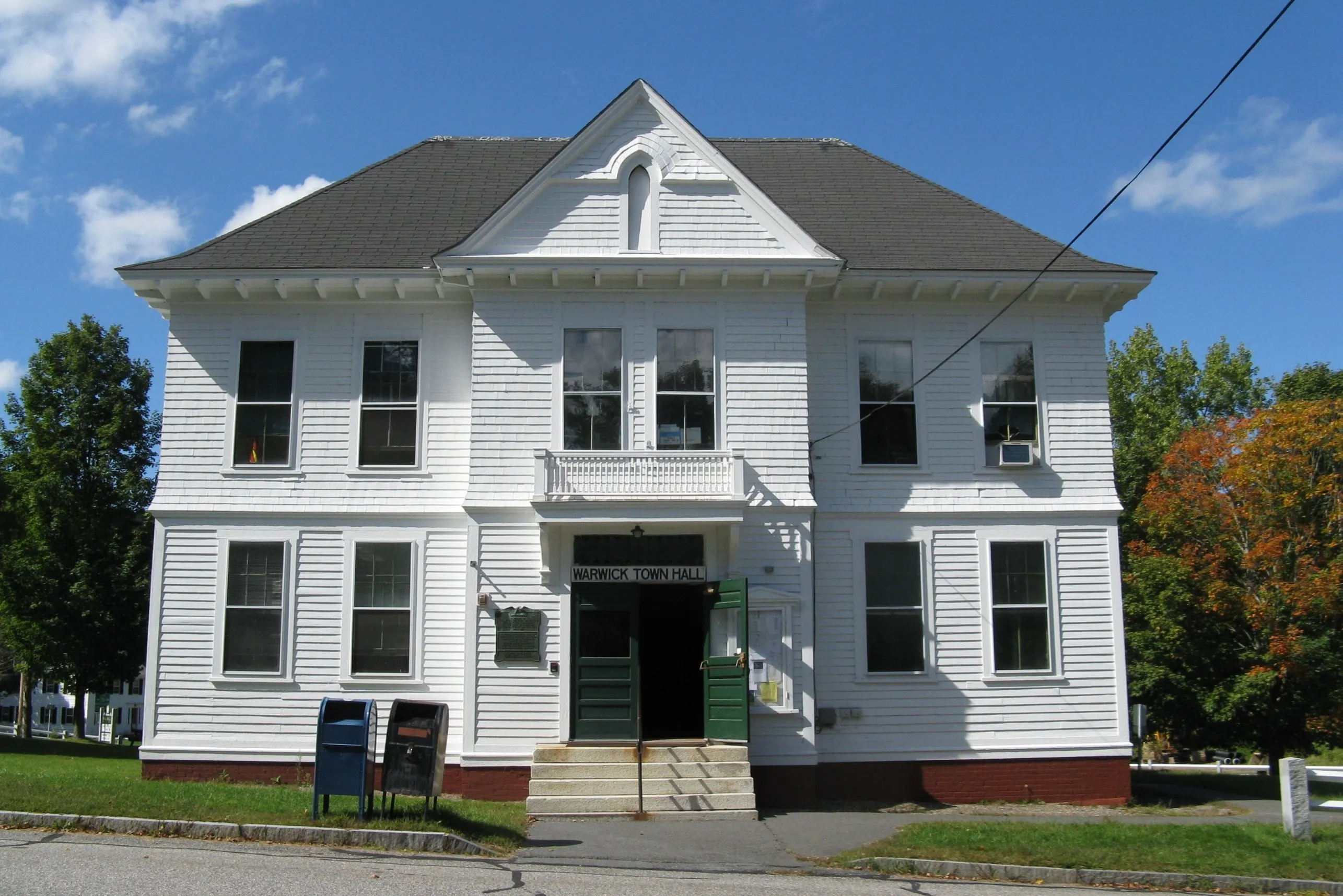
Warwick Center
The center of town is a small village clustered around a common on a high shelf above the surrounding valleys. The civic buildings here include the late-19th-century Warwick Town Hall (the white-clapboard building in the hero photo), a Unitarian meetinghouse with a town clock in its tower, and the town’s small commercial fabric. The town sits on Route 78, which climbs north from Orange and crosses the New Hampshire line into Winchester.
Sources
- Town of Warwick
- Warwick, Massachusetts — Wikipedia (2020 U.S. Census population: 780; incorporated February 17, 1763)
- Mount Grace State Forest — Wikipedia
- Metacomet-Monadnock Trail — Wikipedia