WaterwayFranklin
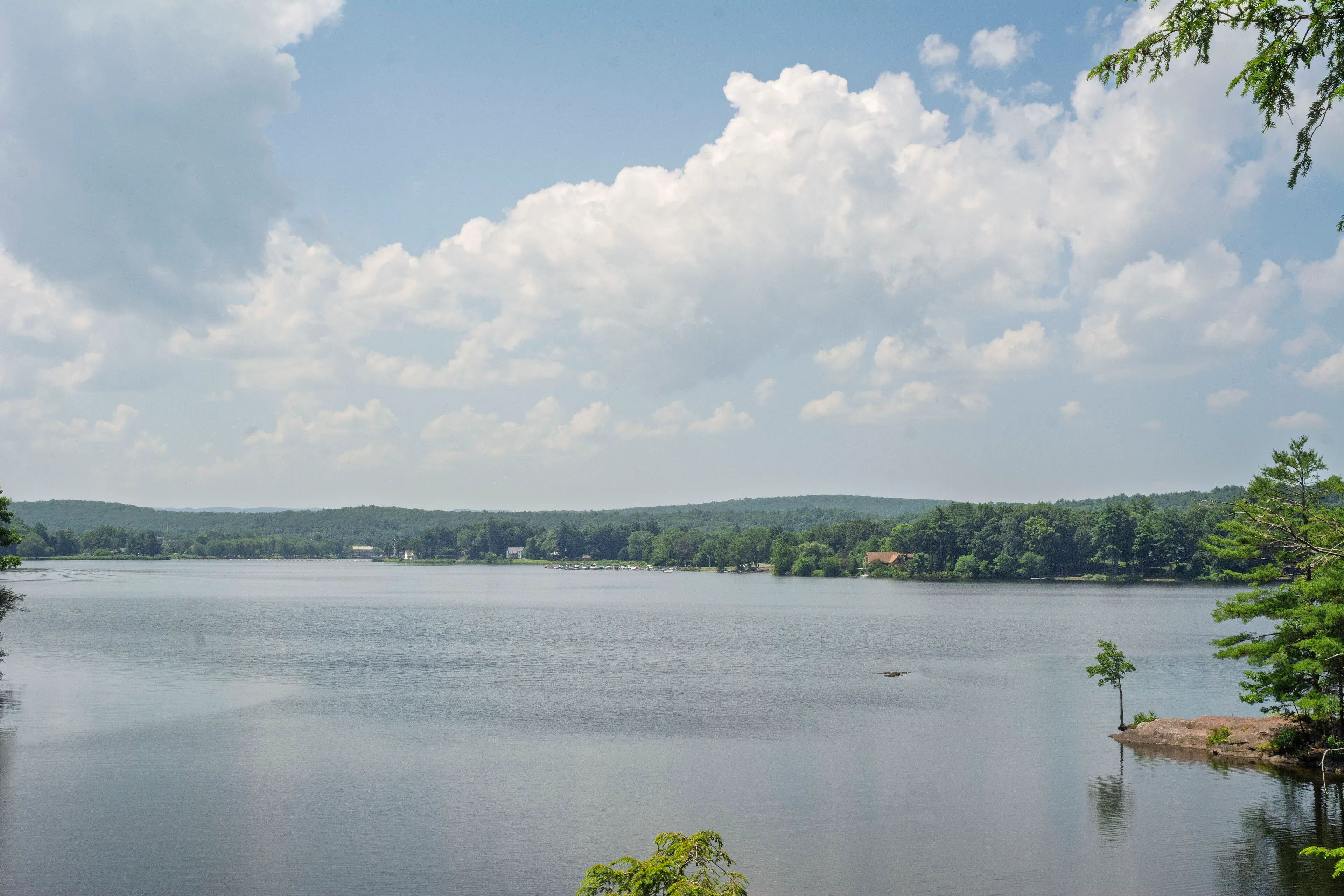
Barton Cove
A Connecticut River recreation area on the Turners Falls impoundment. Paddle rentals, a campground, a short peninsula trail, and resident bald eagles nesting since the 1980s.
Gill
Outdoors · Category
Waterways across the Pioneer Valley.
A Connecticut River recreation area on the Turners Falls impoundment. Paddle rentals, a campground, a short peninsula trail, and resident bald eagles nesting since the 1980s.
Gill
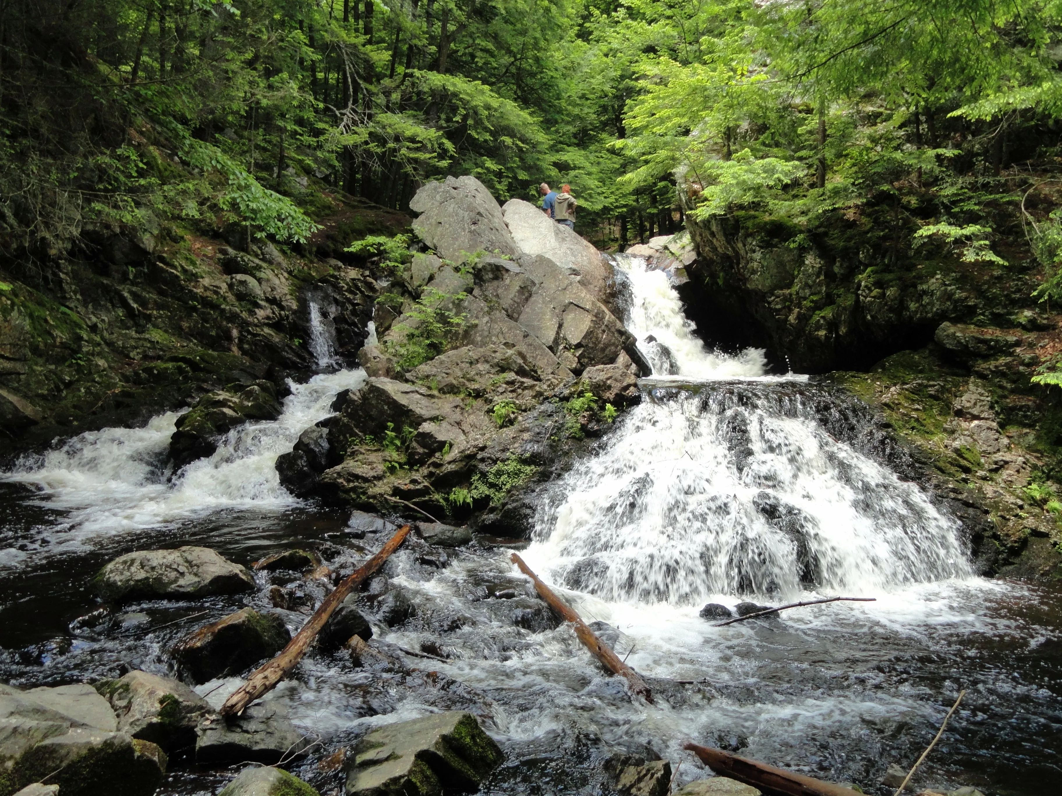
A small Trustees of Reservations property in New Salem where the Middle Branch of the Swift River drops about 12 feet into a hemlock-shaded gorge, reached by a short trail off Neilson Road.
New Salem · 0.4 mi · Easy
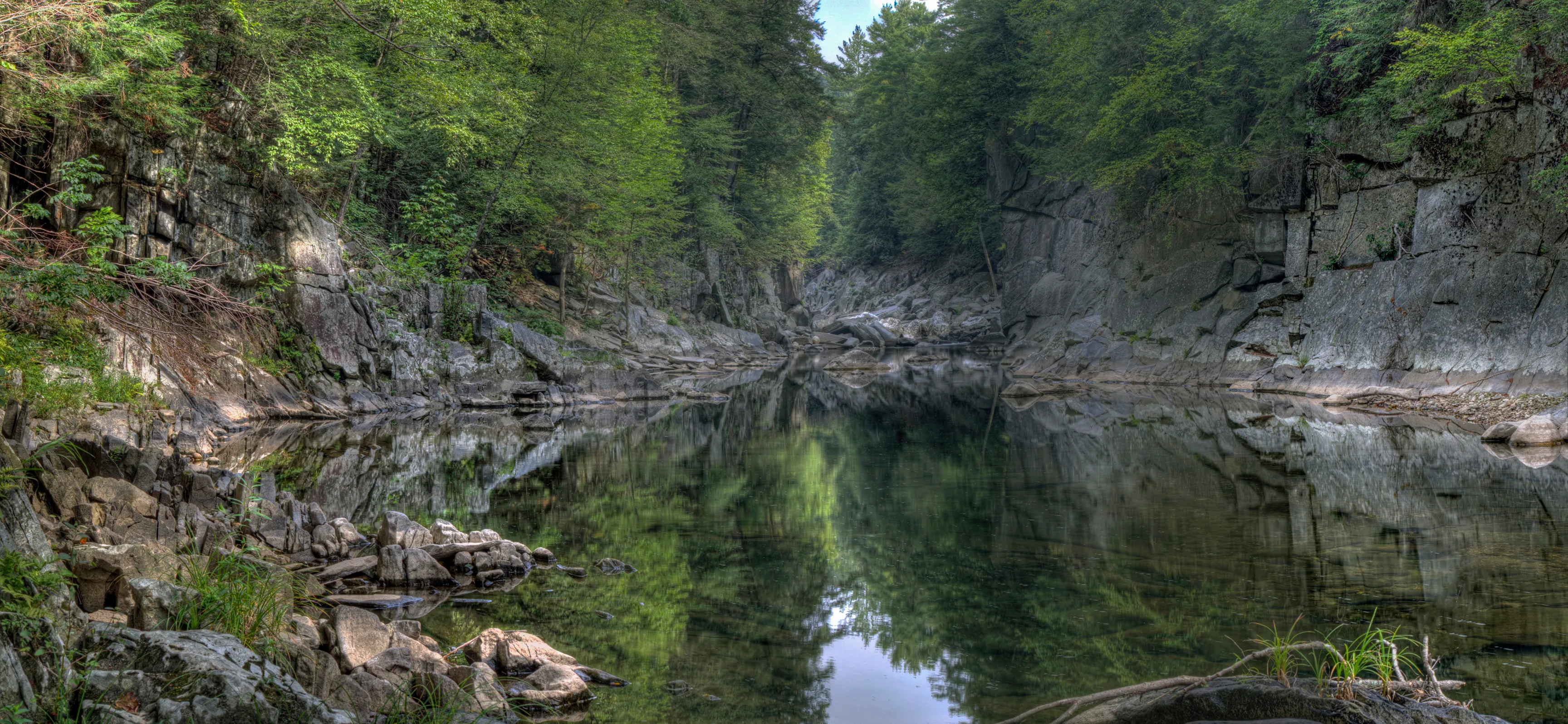
A 70-foot granite gorge cut by the East Branch of the Westfield River. A Trustees of Reservations property with a short cliff-edge overlook and a long riverside trail.
Chesterfield · Easy
A 1,048-acre state park strung along twelve miles of Connecticut River shoreline in eight discontinuous parcels, from Northfield down to Chicopee. The river's main public boat-launch and paddle-access network in Massachusetts.
Northampton
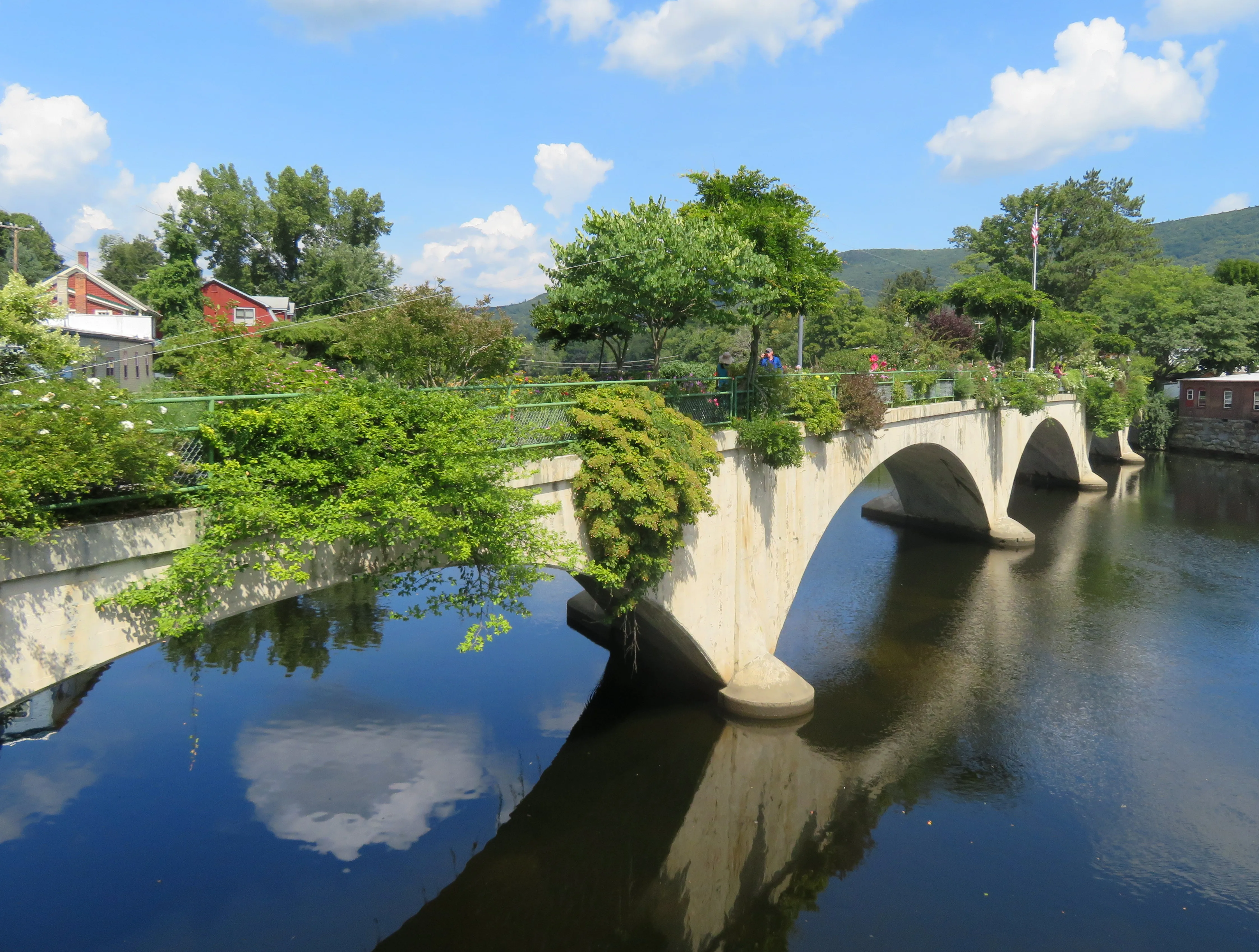
The Deerfield River drops through Shelburne Falls over a bed of glacial potholes, with the Bridge of Flowers overhead and class II-III release-based whitewater upstream.
Shelburne
A long, cascading waterfall on Glendale Brook in the hilltown of Middlefield. A Trustees of Reservations property with a short trail from the road to a viewing area beside one of the most powerful runs of falling water in Massachusetts.
Middlefield · 0.4 mi · Easy
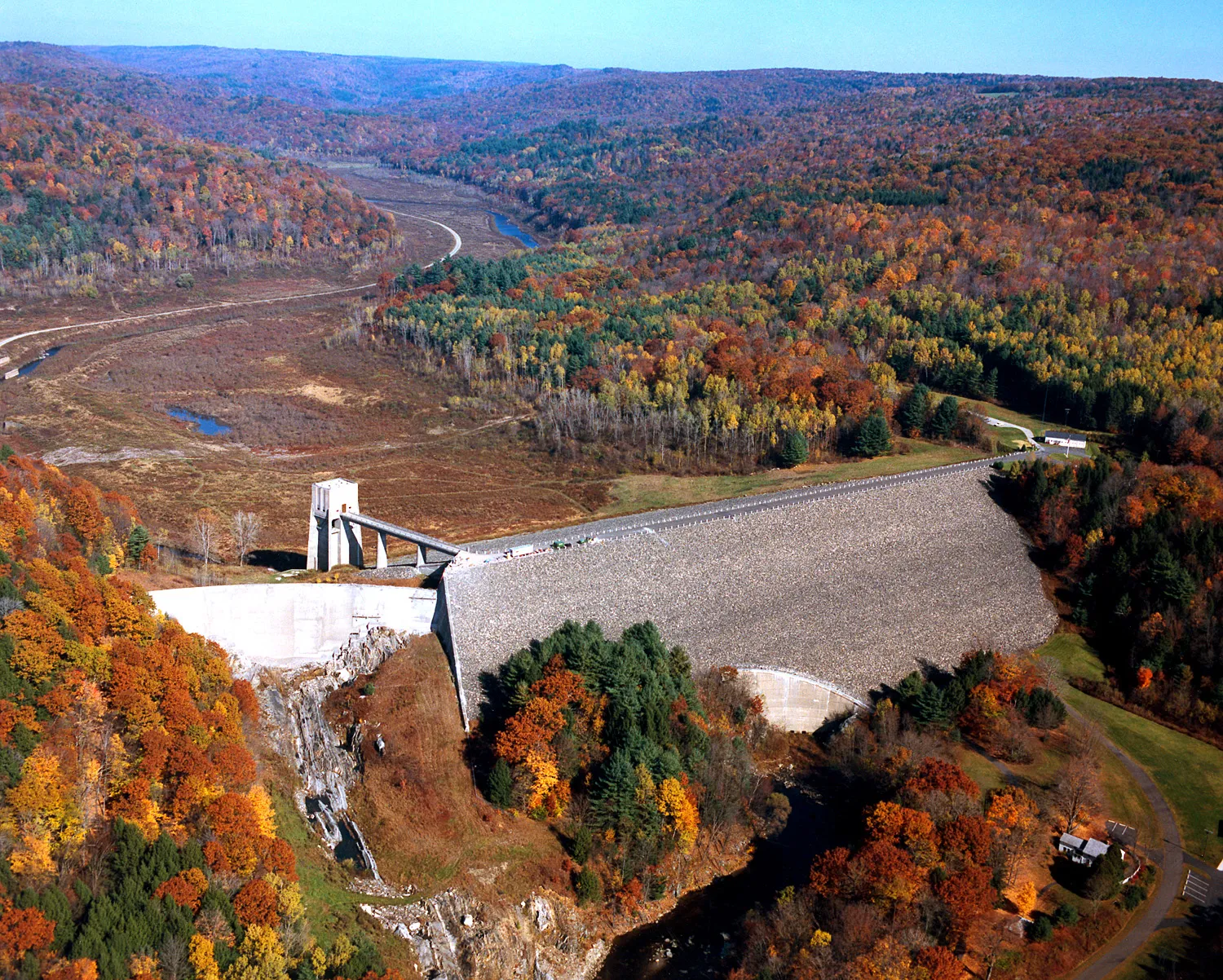
A US Army Corps of Engineers flood-control dam on the East Branch of the Westfield River in Huntington, completed in 1941. The basin is normally dry; the surrounding recreation area offers multi-use trails, picnic areas, river access, and big seasonal moods.
Huntington · 4 mi · Easy
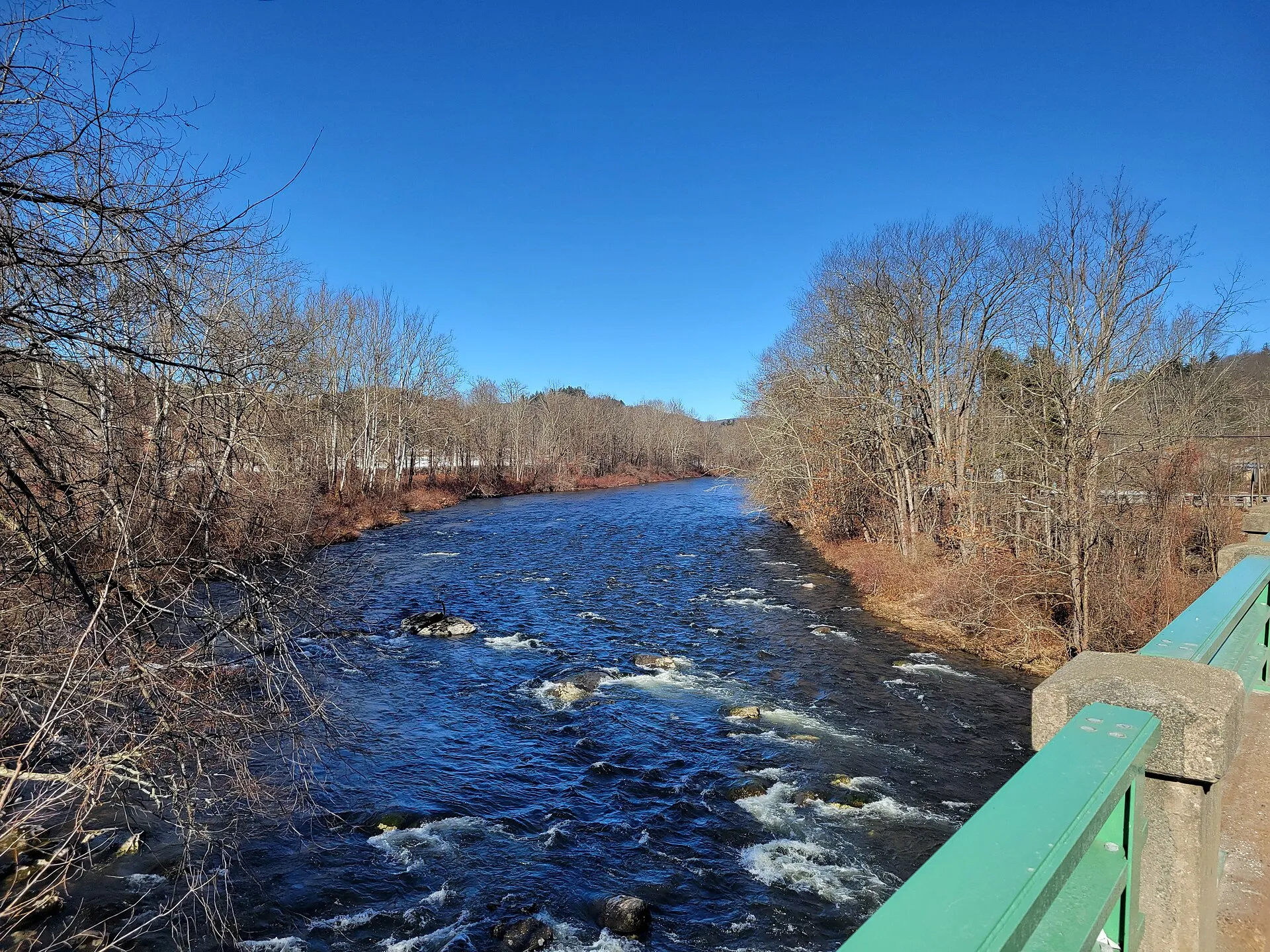
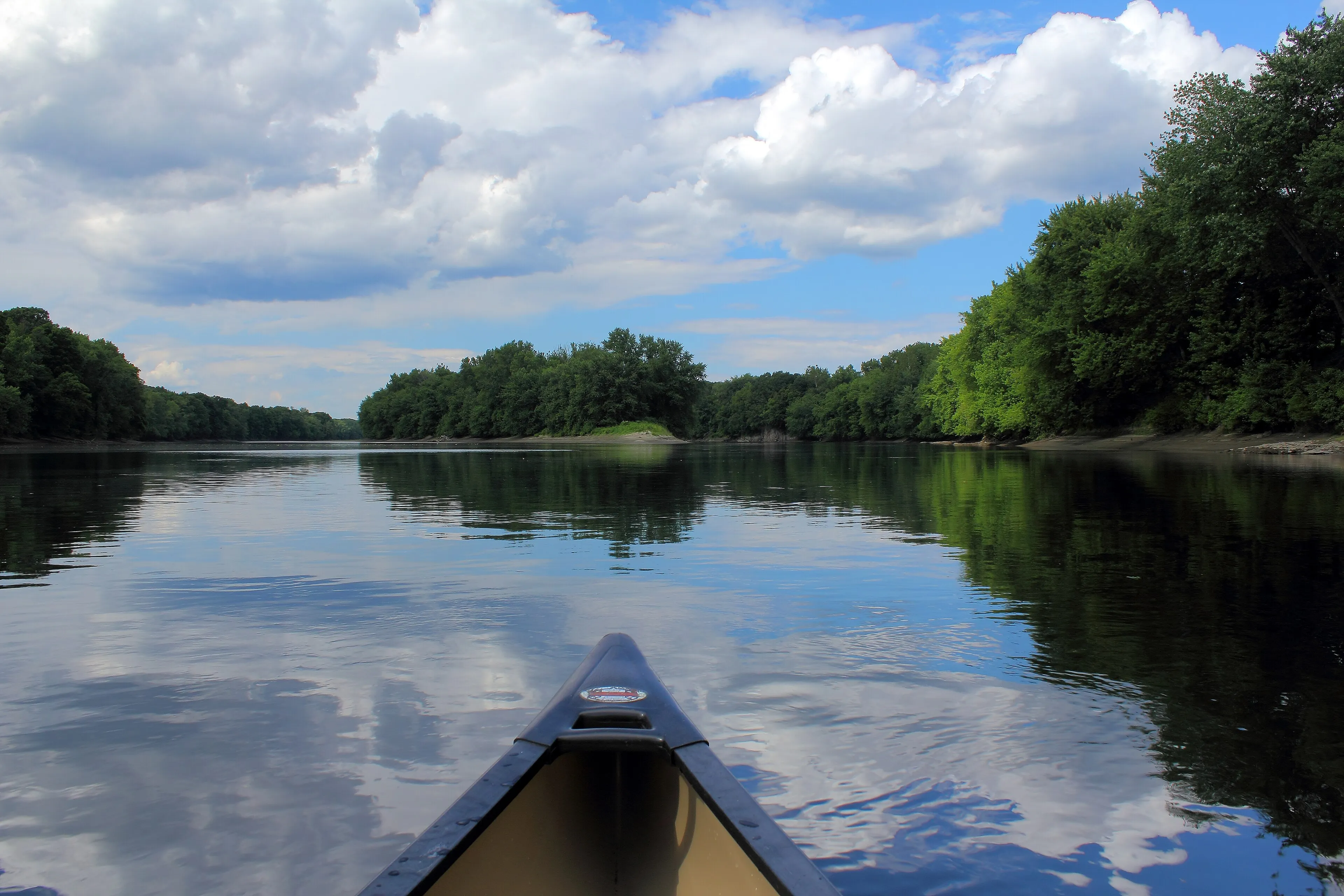
The southwestern Pioneer Valley's major river system, draining the Berkshire foothills through three branches that total 78 miles of federally designated Wild and Scenic water, the first such designation in Massachusetts.
Huntington · Moderate