The Westfield River is the southwestern Pioneer Valley’s major river system: three branches (East, West, and Middle) and a short main stem that drain a roughly 500-square-mile basin in the eastern Berkshires and Berkshire foothills before joining the Connecticut River at Agawam, opposite downtown Springfield. Together the branches total 78 miles of federally designated Wild and Scenic River, the first such designation in Massachusetts.
Branches and geography
The three branches gather in a fan across the western hill towns and converge near Huntington:
- East Branch: rises in Windsor and flows south through Cummington and Chesterfield, dropping through the granite chasm at Chesterfield Gorge and then impounded by the Knightville Dam flood-control reservoir in Huntington before joining the main stem.
- Middle Branch: flows out of Peru through Worthington and into Chester, joining the main stem at Huntington.
- West Branch: rises in Becket and parallels Route 20 east through Chester and Huntington; the Keystone Arches railroad bridges still cross it in the gorge above Chester.
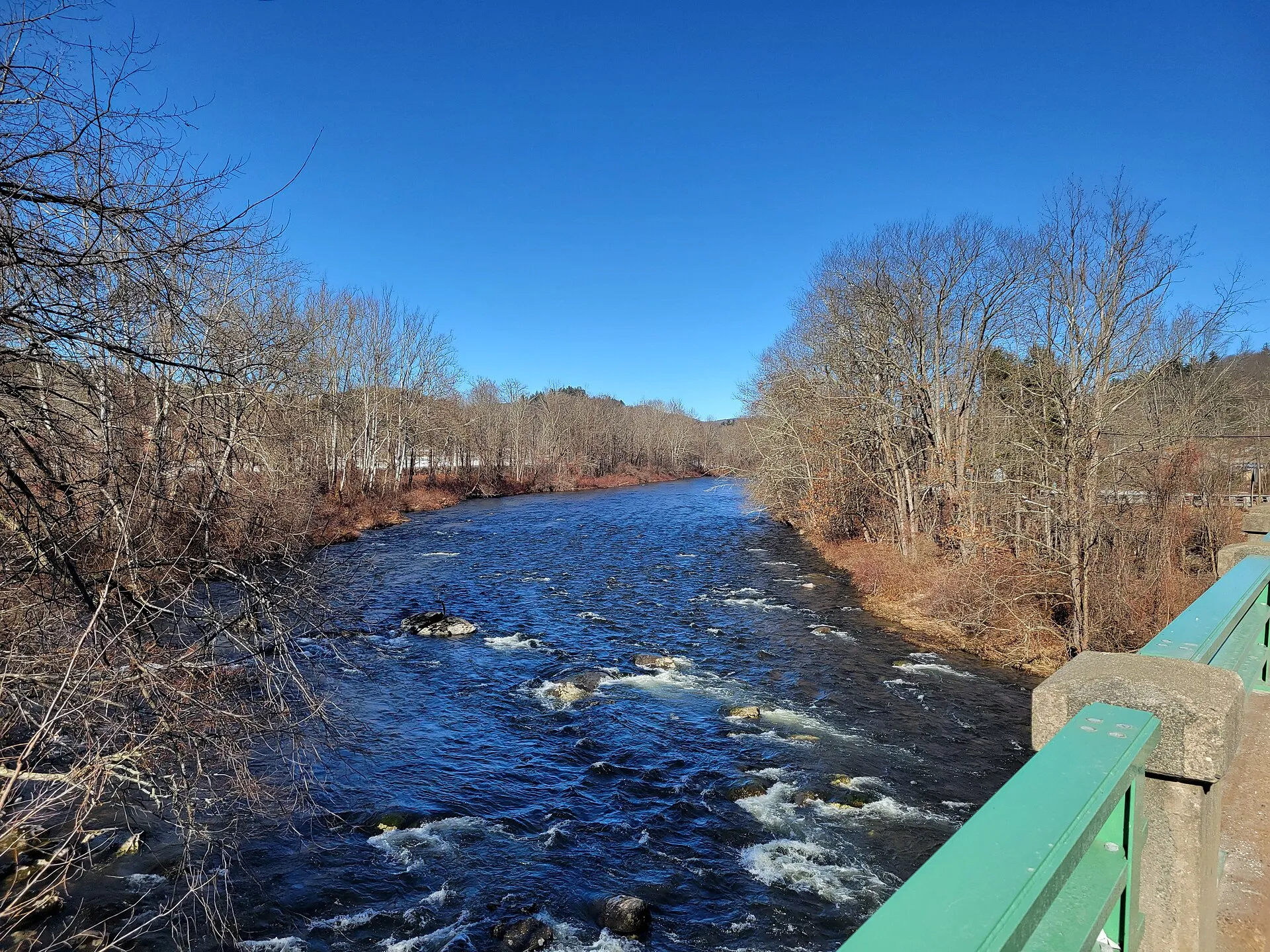
The branches meet near Huntington and the river then flows east through Russell and Westfield, picking up speed and width before crossing into the valley floor.
Wild and Scenic designation
The Westfield was the first National Wild and Scenic River in Massachusetts, designated in two stages:
- November 2, 1993: 43.3 miles of the East and West branches and headwater tributaries.
- September 28, 2004: additional Middle Branch and headwater segments, bringing the total to 78.1 miles.
The designation is administered through a state-federal partnership rather than by the National Park Service directly, and protects the designated segments from new federally licensed dams and major water diversions.
Whitewater paddling
The upper Westfield is one of the better whitewater rivers in southern New England in spring runoff. The most-paddled stretches are on the East Branch above and through Chesterfield Gorge (Class II–IV depending on flow), and on the West Branch along Route 20 between Chester and Huntington. The window is short: most runs are paddleable for a few weeks in April and early May, and again briefly after heavy fall rain. Below the confluence the river broadens and slows, with easy flatwater paddling through Russell and Westfield.
Fishing
The Westfield is a Massachusetts trout-stocked river, with put-and-take stocking on the main stem and branches in spring and fall, and self-sustaining populations of wild brook trout in the colder headwater tributaries. The stretch through Chester-Blandford State Forest along the West Branch is a popular fly-fishing reach.
Access points
Strong put-ins, take-outs, and viewpoints along the system:
- Chesterfield Gorge (East Branch): overlook and a long riverside walking trail.
- Knightville Dam recreation area (East Branch, Huntington): large lot, picnic area, and walk-in river access.
- Route 20 pull-offs between Chester and Huntington: informal access for paddlers and anglers along the West Branch.
- Strathmore Park in Russell: town park on the lower main stem.
- Westfield River Levee Trail in Westfield: paved and gravel walking and biking along the river through town.
What to know
- Flows are flashy: the upper river rises and drops quickly with rain. Check the USGS Knightville and Huntington gauges before a paddle.
- No lifeguarded swimming: the river has good summer swimming holes but no patrolled beaches; currents are stronger than they look in the gorge sections.
- Leashed dogs welcome at all the listed access points.
- Mouth at the Connecticut River is in Agawam, just downstream of West Springfield.