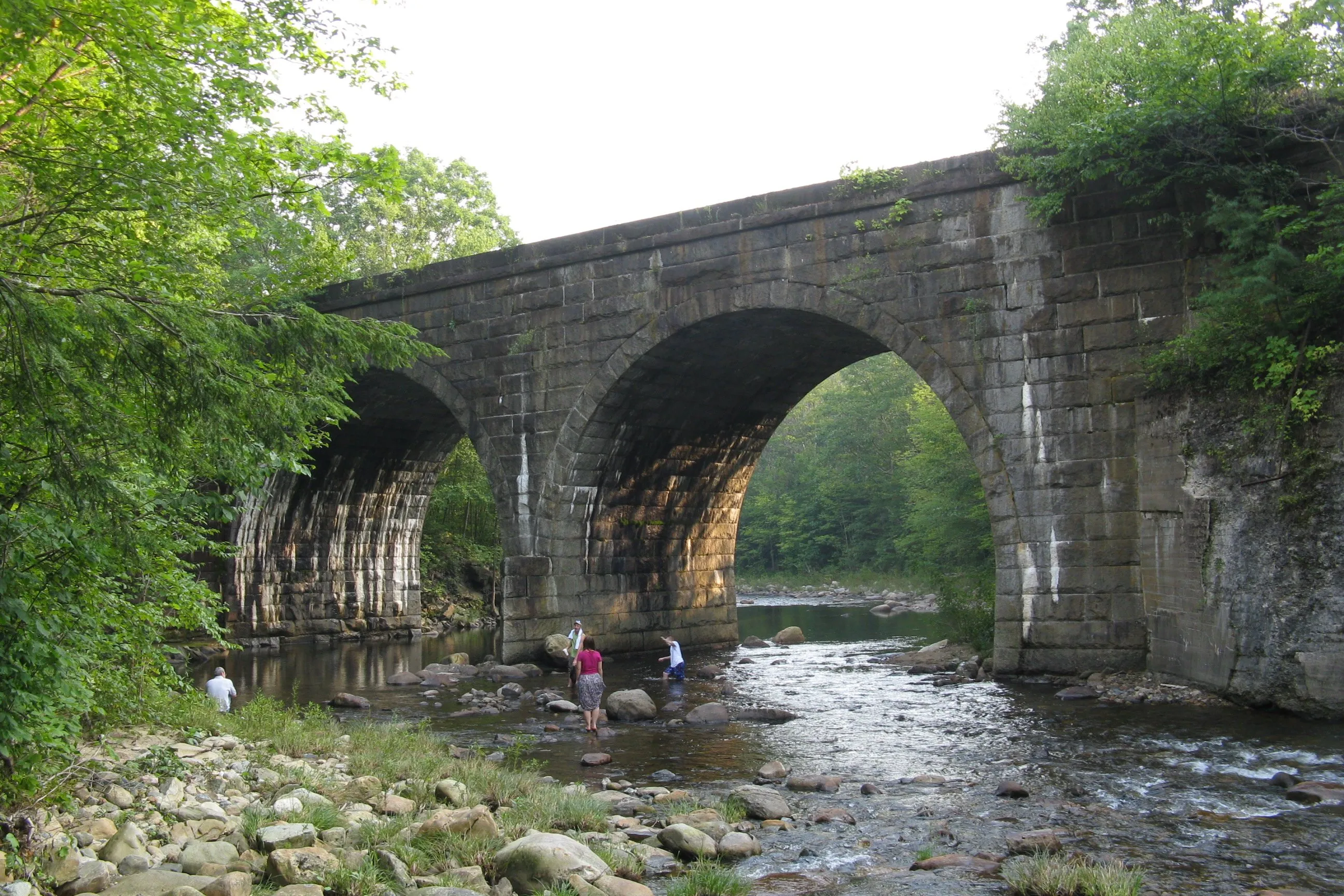
The Keystone Arches Trail follows the abandoned original alignment of the Western Railroad (completed 1841) through the West Branch of the Westfield River gorge in the hill town of Chester. At the time of their construction, the dry-stone keystone arch bridges along this stretch were among the largest railroad bridges in the United States; the tallest stands about 70 feet above the river and spans 54 feet of gorge, built without mortar from hand-cut granite.
The rail line was relocated to an easier grade in the 1910s, and the original bridges were abandoned in place. Three of the five survive; the trail reaches each on foot.
What to know
- Distance. About 2.5 miles one-way from the Middlefield Road trailhead to the third arch, with a 5-mile round-trip. Add more by continuing west.
- Grade. The former railroad grade is gentle, but the approach trail climbs in and out of the gorge in places, so the hike feels moderate rather than easy.
- Exposure. The bridges have no guardrails; crossings are straightforward but mind your step on the stonework and keep kids close.
- Season. Spring through fall. The access road is not plowed in winter and the gorge holds ice.