Chesterfield is a small Hampshire County hill town of about 1,200, set in the upland country between the East Branch of the Westfield River to the south and the headwaters of the Mill River to the east. It was settled in 1760 and incorporated in 1762, named after the 4th Earl of Chesterfield. The town is bounded by Williamsburg to the east, Goshen to the north, Cummington to the northwest, Worthington to the west, Huntington to the south, and Westhampton to the southeast.
Chesterfield Gorge
The town’s signature landscape is the East Branch of the Westfield River cutting through a narrow granite chasm at the end of River Road in West Chesterfield. The gorge, about 70 feet deep and only a few yards wide at the top, has been a Trustees of Reservations property since 1929 and is the trailhead for the East Branch Trail, an unpaved former town road that follows the river downstream for several miles through Chesterfield and Worthington, providing quiet river access and a long out-and-back walk. The East Branch is federally designated a Wild and Scenic River as part of the broader Westfield River designation.
The gorge has its own dedicated entry at /outdoors/chesterfield-gorge.
The town center
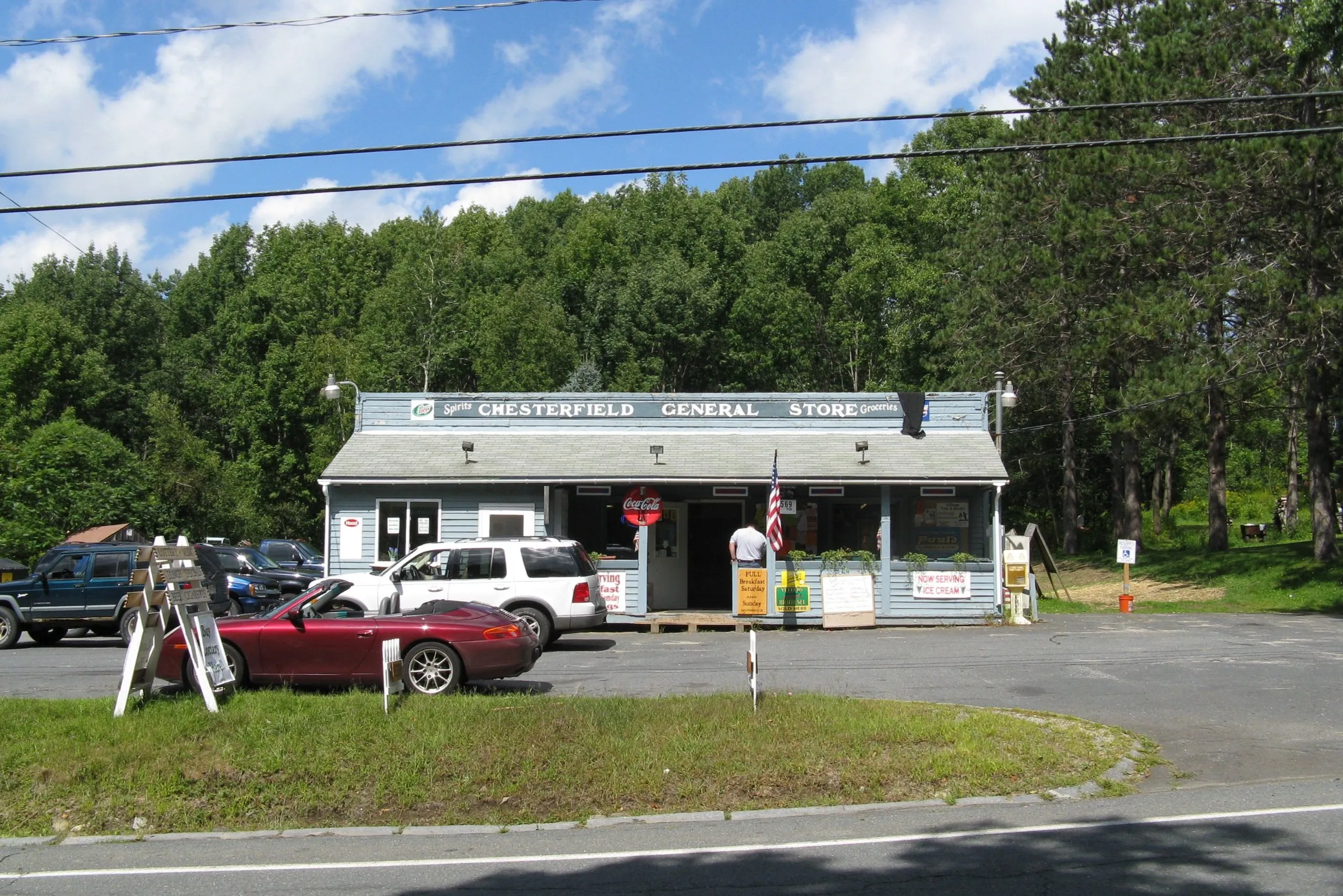
Chesterfield Center, on the height of land in the eastern half of town, is a quiet village of well-preserved Federal-period houses along Main Road, established in the years after the Revolution. The visible civic fabric is small: a town hall, a white-clapboard Congregational church, the post office, and the Chesterfield General Store above on Main Road, which serves as the de facto village gathering point. West Chesterfield, along Route 143 in the river valley to the southwest, is the second small village cluster and the jumping-off point for River Road and the gorge.
Early industry and farming
The town’s early-19th-century economy ran on Merino sheep (Chesterfield was one of several Hampshire hill towns that prospered from the wool boom), alongside scattered sawmills, tanneries, and small cloth-dressing operations along the streams. The 19th-century Bisbee Mill, on a tributary in the southern part of town, is listed on the National Register of Historic Places and is one of the few surviving small mill buildings from that period. Like most hill towns in the region, Chesterfield’s industrial economy faded after the Civil War as mills consolidated into the larger river-valley centers downstream; the population fell from a peak above 1,400 in the 1820s to a low of about 420 by the 1930s before partially recovering with the late-20th-century return to rural living.
Mineral history
Chesterfield is well known among mineral collectors for the pegmatite outcrops in the southern part of town, which have yielded fine specimens of beryl, tourmaline, columbite, and other minerals since the early 19th century. The locality is referenced in 19th-century geological literature, including notices in the Journal of the Academy of Natural Sciences of Philadelphia. The active quarries are long since closed; the old workings are not generally accessible to the public.
Other notes
- Route 143 is the main through-road, running east–west from Williamsburg through Chesterfield Center and West Chesterfield toward Worthington and the upper Westfield River valley.
- The town is part of the Hampshire Regional School District for upper grades, with elementary students attending the local New Hingham Regional Elementary School, shared with Goshen.
- A large share of the town is in Dead Branch State Forest, Krug Sugarbush State Forest, and other small DCR holdings, in aggregate several thousand acres of woodland with limited formal trail infrastructure.
Sources
- Town of Chesterfield
- Chesterfield, Massachusetts — Wikipedia (2020 U.S. Census population: 1,186)
- Chesterfield Gorge — The Trustees of Reservations
- Bisbee Mill — National Register of Historic Places