Huntington is a small Hampshire County hill town of about 2,100 at the meeting of the East and West Branches of the Westfield River, where the river breaks out of the eastern Berkshire foothills and turns toward Westfield and the Connecticut Valley. The town was set off from Murrayfield (now Chester) as the district of Norwich in 1773 and incorporated as a full town in 1786; it was renamed Huntington in 1855 in honor of Charles P. Huntington, a Northampton state legislator who had helped secure earlier boundary changes for the town. It is bounded by Worthington to the north, Chesterfield to the northeast, Westhampton to the east, Montgomery and Russell to the south, Chester to the southwest, and Middlefield to the northwest.
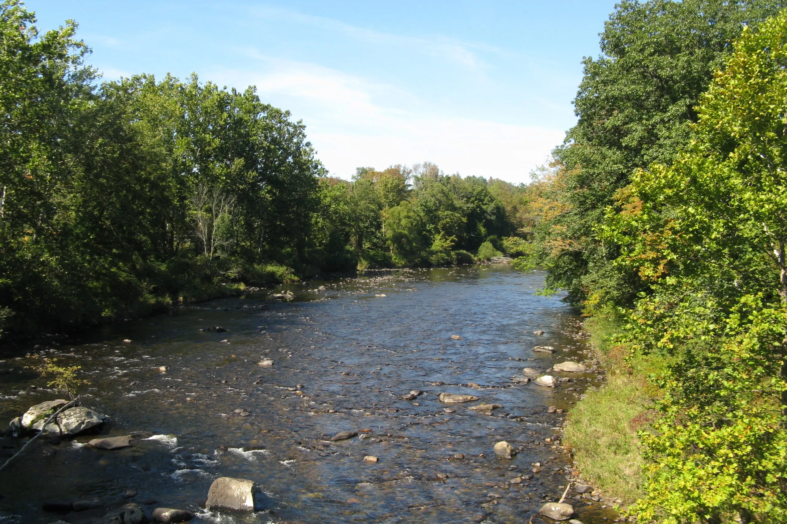
The Westfield River
The hero image looks at the Westfield River from East Main Street, just downstream of Huntington Center. The river is the defining feature of the town. The East Branch, Middle Branch, and West Branch of the Westfield all reach the main stem in or near Huntington, and the combined river runs east through the village and out toward Russell and Westfield. The upper Westfield system is a federally-designated Wild and Scenic River, the first such designation in Massachusetts, and the upstream reaches in Huntington and the surrounding hill towns are a draw for catch-and-release trout fishing, kayaking, and streamside walking.
The Knightville Dam
A few miles upstream of the village, on the East Branch, is the Knightville Dam, a U.S. Army Corps of Engineers flood-control dam built between 1939 and 1941 in response to the catastrophic 1936 Connecticut Valley flood. The earthen dam is a “dry” structure: it does not normally impound a reservoir and the river runs free through it most of the year, but in flood conditions it can hold back a large temporary pool to protect the downstream Westfield and Connecticut River valleys. Construction required relocating Route 112, moving a cemetery, and demolishing the small village of Knightville and the hamlet of Indian Hollow, about 33 homes in total. The dam grounds and the broad floodplain meadows upstream are now public open space managed by the Corps for flood control, low-impact recreation, and habitat.
The village
Huntington Center sits along U.S. Route 20 and Route 112 on the south bank of the Westfield, where the two routes cross the river. The compact village core, a brick-and-clapboard streetscape on Main Street listed as the Huntington Village Historic District on the National Register, includes the 1909 Huntington Town Hall, the brick Stanton Hall (a 19th-century commercial block), and the surviving small storefronts along Main Street. The town’s railroad station on the former Boston & Albany line is gone, but the rail corridor along the river is still active CSX freight track.
Geography and roads
Huntington is one of the larger hill towns by area in Hampshire County (about 27 square miles), and outside the village center the town is mostly wooded uplands, hill farms, and the river valleys of the East and West Branches. U.S. Route 20 runs the length of the river valley west toward Chester and the Berkshires and east toward Russell. Route 112 crosses north–south, climbing out of the valley to Worthington and the higher hill towns to the north. The Littleville Dam, a second flood- control structure on the Middle Branch, sits in the southern part of town.
Sources
- Town of Huntington
- Huntington, Massachusetts — Wikipedia (2020 U.S. Census population: 2,094)
- Knightville Dam — Wikipedia
- Westfield River (Wild and Scenic) — National Wild and Scenic Rivers System