Westfield is the third-largest municipality in the Pioneer Valley (behind Springfield and Chicopee, ahead of Holyoke), and the westernmost of the four. The city sits on the broad alluvial plain of the Westfield River, ten miles west of Springfield, with a ring of trap-rock ridges (East Mountain, Provin Mountain, Tekoa Mountain) on its eastern and northern sides. Settled by Europeans in 1660 and incorporated as a town in 1669, Westfield was a New England town for two and a half centuries before becoming a city in 1920.
The Whip City
Westfield is locally and historically known as The Whip City. For roughly fifty years on either side of 1900, the city was the largest manufacturer of buggy whips in the world. At the peak, United States Whip Company alone made about a third of all whips sold in the country, and several other Westfield factories supplied the rest. The industry collapsed in the 1920s with the automobile, and the surviving Westfield Whip Manufacturing Company (now a single small workshop) is one of the last whip makers in the United States. The trade left visible traces: the United States Whip Company Complex of brick factory buildings still stands along the Little River off Elm Street.
Stanley Park
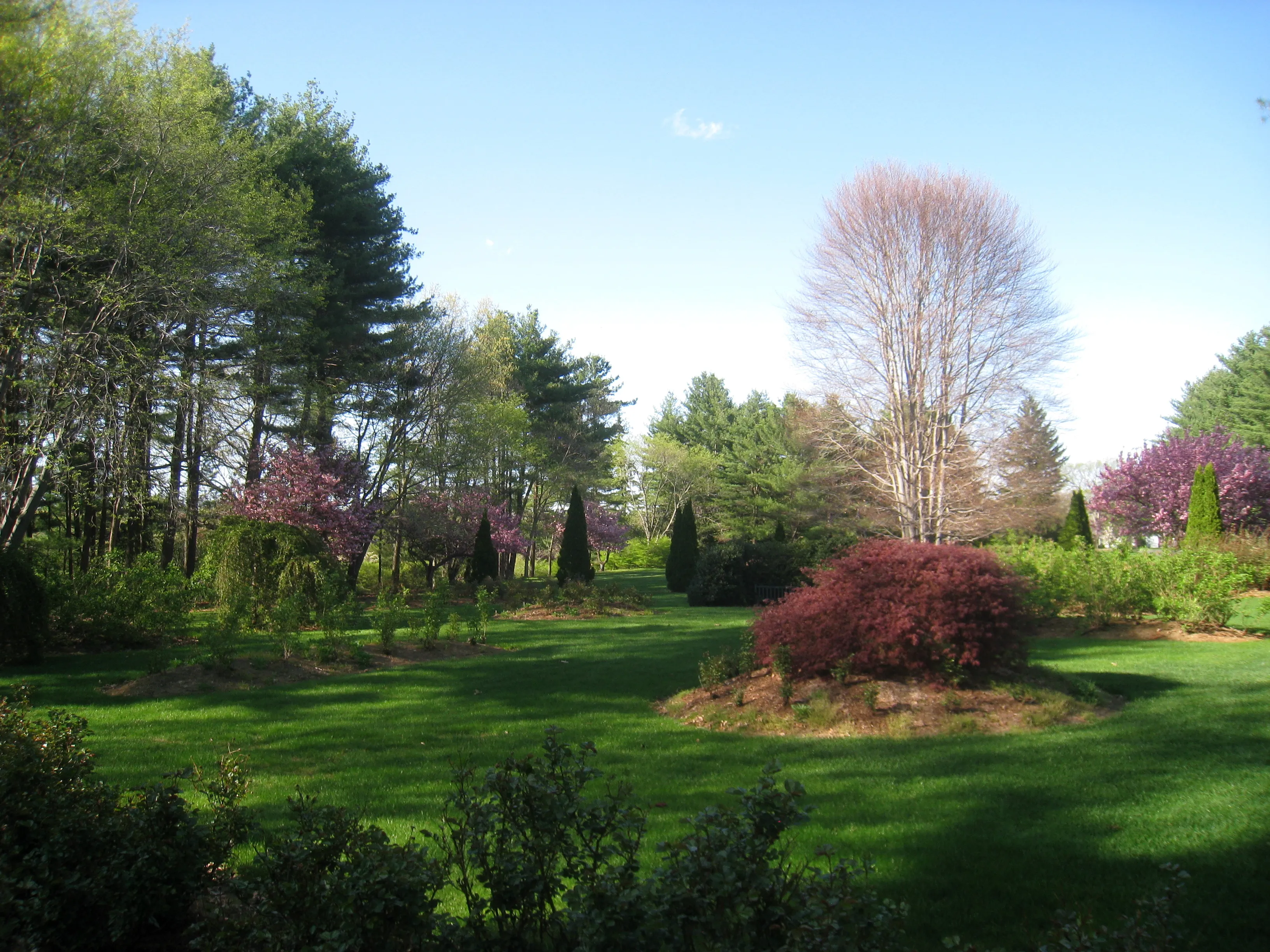
The city’s signature open space is Stanley Park, a 300-acre free public park built between 1949 and the 1960s by Frank Stanley Beveridge of Stanley Home Products, who lived in Westfield. The park is unusual for a privately-founded municipal-feeling park: it holds a carillon tower, formal rose and dahlia gardens, an arboretum and Japanese garden, a small aviary, picnic grounds, walking paths, and a covered bridge moved here from Vermont. Admission is free; the full park operates seasonally from May through November, with limited gate access weather permitting in winter. The gardens are at peak from late May through September.
Westfield State University
Westfield State University, founded in 1838 as a state normal school, was one of the country’s earliest publicly-funded teacher’s colleges and an early institution to admit students without regard to race or sex. The campus sits at the western edge of downtown, between Western Avenue and Stanley Park, and around 5,000 undergraduates are enrolled in a typical year. The university gives the city a noticeable college-town feel during the academic year without being its dominant employer.
The Westfield River and the trails
The Westfield River’s East Branch, west of the city in Chester and Becket, was the first river in Massachusetts and one of the earliest east of the Mississippi to be designated a federally Wild and Scenic River (1993). Within the city, the river is more domesticated (a flood-control channel runs through downtown), but upriver paddling, fishing, and trail access are easy half-day trips.
The Columbia Greenway Rail Trail runs north–south through Westfield on the old Boston & Albany right-of-way, and the Metacomet-Monadnock / New England National Scenic Trail crosses the eastern ridges as it works its way north. Tekoa Mountain on the city’s northwestern edge has informal climbs with broad valley views.
Sources
- City of Westfield, Massachusetts
- Westfield, Massachusetts — Wikipedia (2020 U.S. Census population: 40,834)
- Stanley Park of Westfield
- Westfield State University