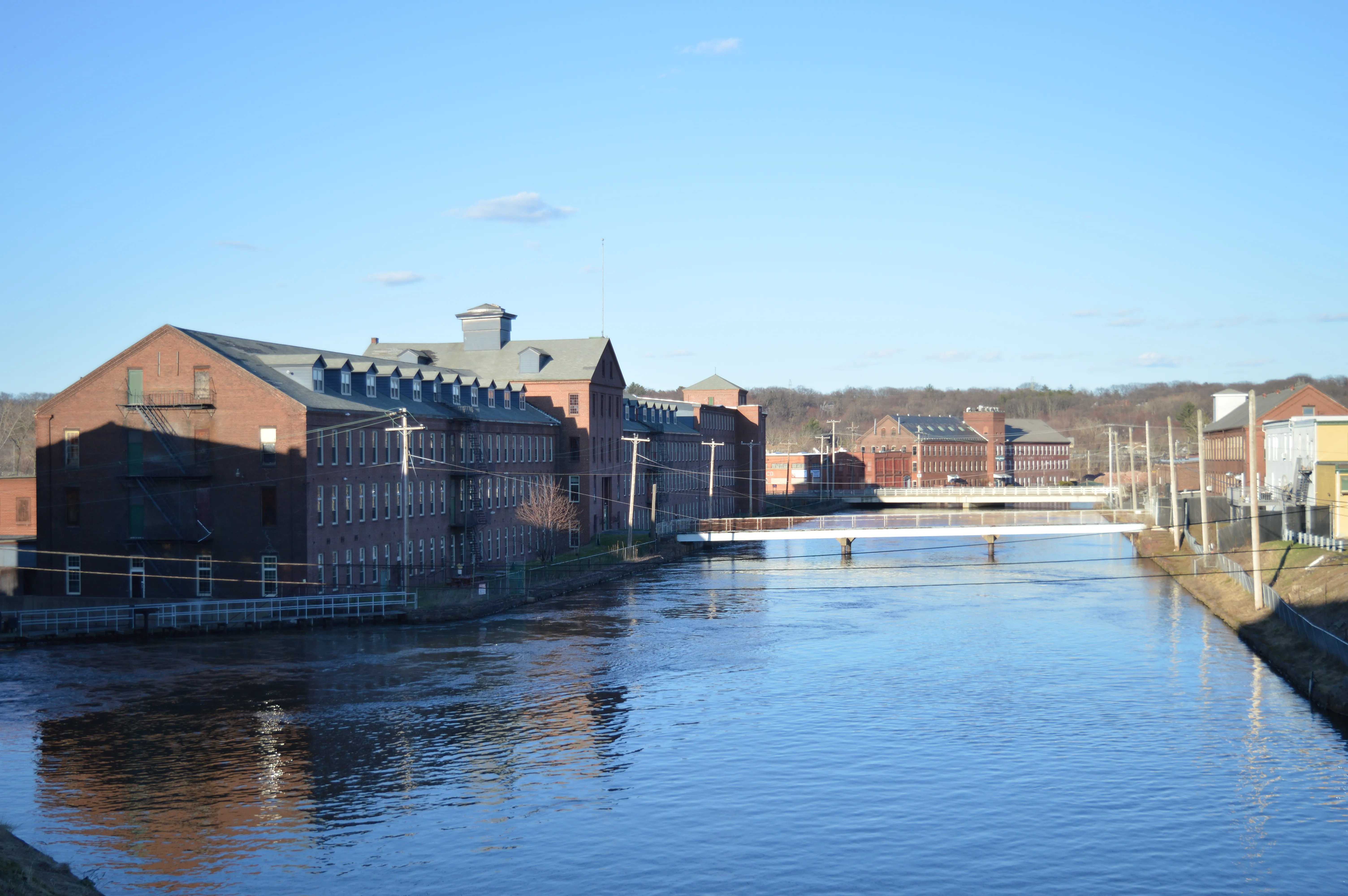
Holyoke was laid out in the 1840s as a planned industrial city, one of the first in the country, around a three-tier canal system that drew power from the drop of the Connecticut River at Hadley Falls. The canals still run through downtown, and the original street grid was drawn to the shape of the mills they fed.
Downtown and canals
The First, Second, and Third Level Canals thread through downtown Holyoke in parallel, each a few blocks apart. Several of the mill buildings along them have been repurposed. The Children’s Museum at Holyoke, the Volleyball Hall of Fame (the game was invented in Holyoke in 1895), and Wistariahurst, the preserved Victorian home of the Skinner silk family, sit within a short drive of each other.
Paper City
Holyoke was known for most of the 20th century as the “Paper City” for its density of paper mills. Most of the paper industry has left, but the legacy is visible in the scale of the downtown: broad avenues and tall brick mill blocks more typical of a much larger city.
Getting outside
Mount Tom State Reservation rises on the city’s north-west edge, with trailheads accessible from several Holyoke neighborhoods. The Holyoke Range runs along the north side of the city; the Mount Tom Road (seasonal auto road) gives the easiest summit access.
Getting there
Holyoke has an Amtrak stop on the Valley Flyer line connecting New Haven, Springfield, and Greenfield. I-91 Exit 17 lands on High Street at the edge of downtown.
Sources
- City of Holyoke, Massachusetts
- Holyoke, Massachusetts — Wikipedia (2020 U.S. Census population: 38,238)