Connecticut River Greenway State Park is the Commonwealth’s umbrella designation for a string of DCR-managed parcels along twelve miles of Connecticut River shoreline, about 1,048 acres total, in eight discontinuous access areas spread across Franklin, Hampshire, and Hampden counties. The park is essentially the river’s public boat-launch and paddle-access network in Massachusetts, assembled by DCR through a long string of acquisitions starting in 1986.
What it is
Unlike a contiguous state park, the Greenway is a scatter of small properties (ramps, beaches, riverside meadows, fishing access) rather than a single trail or summit. There is no central visitor center and no through-trail; you visit one parcel at a time, typically to launch a boat or canoe.
The eight access points
From north to south:
- Pauchaug Brook in Northfield. Paved ramp for canoes and motorboats, the northernmost public ramp on the river in Massachusetts.
- Barton Cove in Gill. Paved lot and ramp at the upstream end of the Turners Falls impoundment; the cove itself is separately managed by FirstLight as a recreation area but the ramp is part of the Greenway.
- Sunderland. Small lot, canoe and shallow-draft access just off Route 47.
- Hatfield. North of the town center, canoe and shallow-draft access across a sand bar.
- Elwell Recreation Area in Northampton. Damon Road, just off Route 9 at I-91; wheelchair-accessible dock, canoes and rowing only (no motors). The most-used paddle launch in the Valley.
- Oxbow Ramp in Easthampton. Paved 35-space lot, larger recreational craft (the Oxbow itself is a popular rowing and power-boat lake, what’s left of an 1840 cutoff).
- South Hadley/Chicopee. Gravel ramp downstream of the Holyoke dam.
- Chicopee Boat Access at the mouth of the Chicopee River; the southernmost ramp in the system.
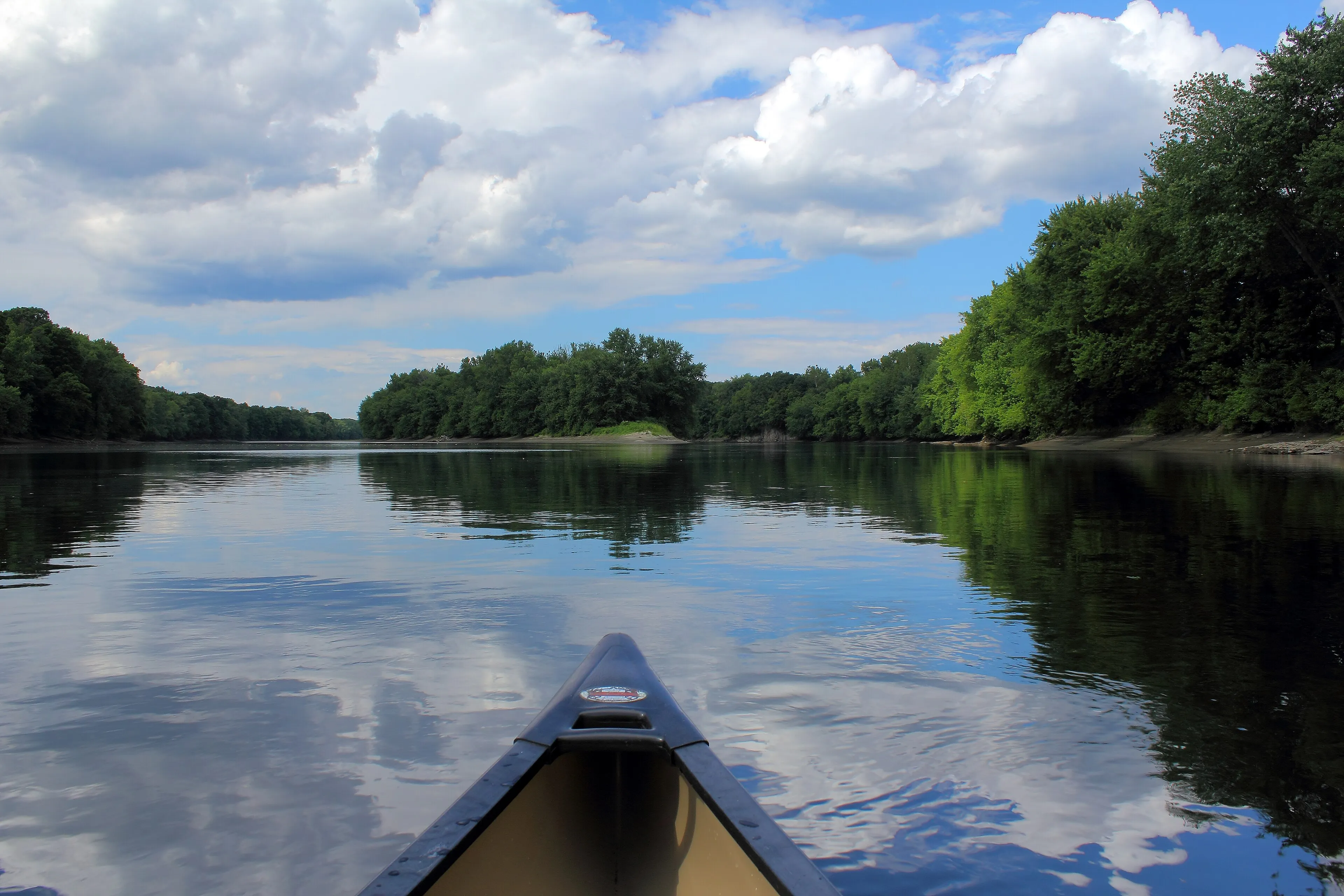
Paddling the river
The Connecticut here is broad, slow, and nearly flat. Most of the Massachusetts stretch is impounded behind the Turners Falls dam upstream and the Holyoke dam downstream, with two short free-flowing reaches in between. That makes it some of the easiest big-water paddling in New England: long, glassy reaches, low current outside spring runoff, and miles of forested banks broken by occasional farmland and the trap-rock ridges on the horizon.
The most popular day-paddle is the seven-mile reach from Sunderland south to Hadley, which threads the gap between Mount Sugarloaf on the west bank and Mount Toby on the east. The Oxbow at Easthampton is a separate, slack-water afternoon: quieter and shorter, with the dramatic backdrop of the Mount Tom ridge.
What to know
- Parking is available at park headquarters and at the public boat ramps along the Greenway; check local signage at individual ramps.
- Open year-round in principle, but most parcels are not plowed; April through November is the practical season.
- No facilities at most access points. Northfield, Barton Cove, and Elwell have port-a-johns in season.
- River conditions: low current most of the year, but spring runoff (April–early May) can move fast. Always check the USGS Montague gauge before paddling above Turners Falls; the Holyoke dam controls flow below the Oxbow.
- No motors at Elwell (canoe/rowing only). Most other ramps allow motorized boats.