Hadley sits on the broad alluvial plain that the Connecticut River left behind on its way south through the Valley: flat, fertile, and still mostly in cultivation after 350 years. The town is tucked between Amherst to the east and Northampton to the west, with the Mount Holyoke Range rising as a low east–west wall along its southern border. For a long time it called itself the Asparagus Capital of the World; a rich silty soil known locally as Hadley loam is still the reason most of the town’s open ground has stayed open.
The Common and the village
The historic core is West Street, a long straight road that runs north from Route 9 along the west side of an unusually long town common. The common, a single rectangle nearly half a mile end-to-end, lined on both sides with white clapboard houses set back behind broad lawns, is one of the largest surviving 17th-century commons in New England. The 1817 Town Hall, the 1808 Russell Congregational Church, and Hopkins Academy (founded 1664, the fourth-oldest public secondary school in the country) all open onto it.
The Porter-Phelps-Huntington House Museum, a 1752 mansion on the north end of West Street, has been preserved as a single-family museum since 1955 and is one of the best-documented early American houses in the Valley.
Open fields and the river
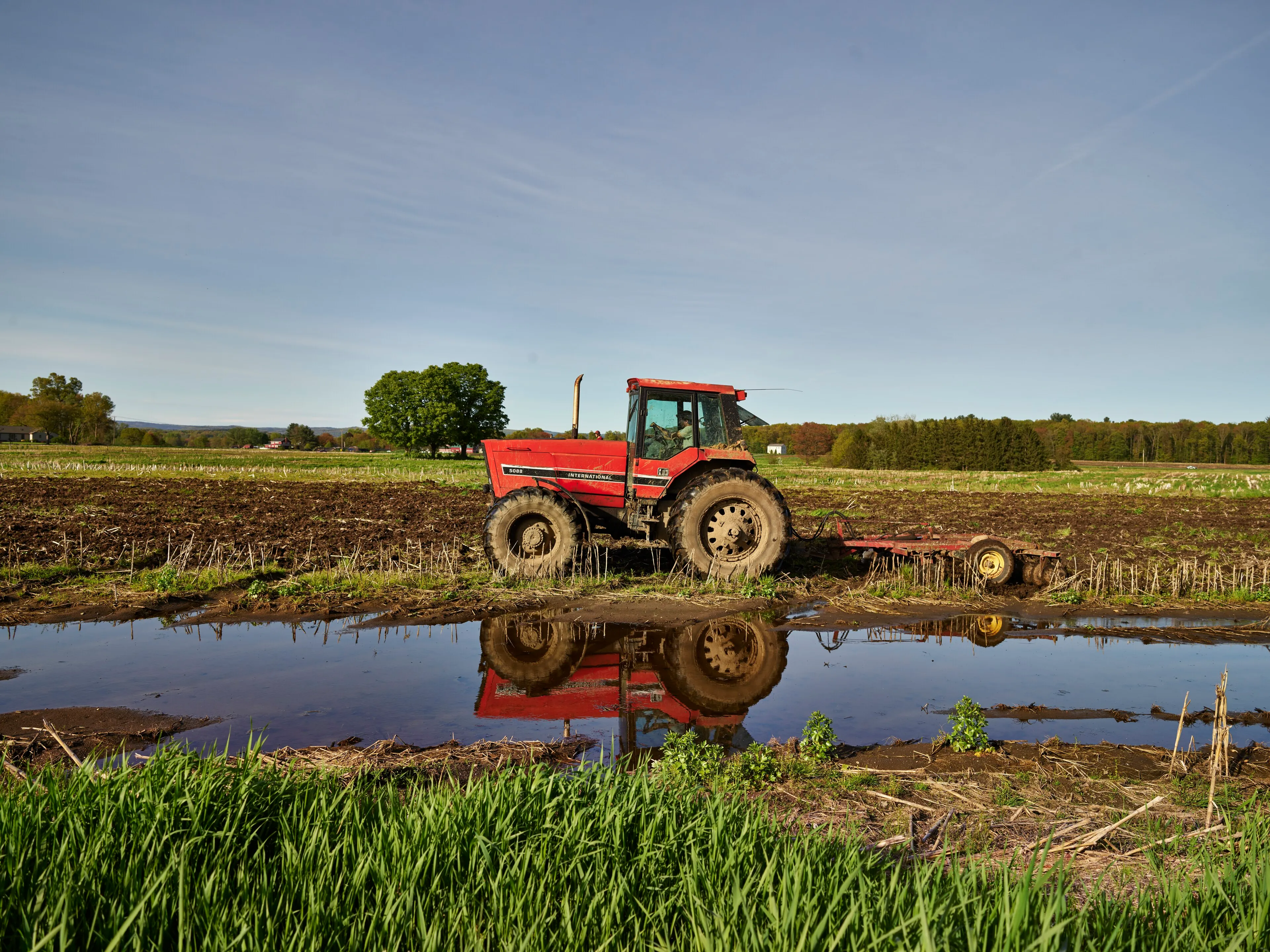
Drive almost any side street off Route 47 and you are quickly back in farm country. Hadley still grows asparagus, sweet corn, tobacco, strawberries, and a long list of vegetables on the low ground between River Drive and the Connecticut River. Several farms sell direct from roadside stands or barn doors in season.
The Fort River flows west across the southern part of town and out into the Connecticut; the Fort River Division of the Silvio O. Conte National Wildlife Refuge protects the river’s last few miles, with a universal-access boardwalk through floodplain meadow.
Rail trail and the range
The Norwottuck Rail Trail runs the full width of Hadley along an old Boston & Maine right-of-way, a flat, paved path that connects Northampton to Amherst and beyond, and one of the most-used rail trails in the state.
To the south, the Mount Holyoke Range is split between Hadley and South Hadley. The auto road in Skinner State Park climbs from the Hadley side to the Summit House on Mount Holyoke, with the long view back across the Hadley fields you tilled past on the way up.
The other Hadley
Route 9, the east–west commercial strip that crosses the town from Coolidge Bridge to the Amherst line, is lined with malls, big-box stores, and the regional Trader Joe’s. It is a working contradiction with the open fields a quarter mile to either side, but it is also where most local errands happen.
Sources
- Town of Hadley, Massachusetts
- Hadley, Massachusetts — Wikipedia (2020 U.S. Census population: 5,325)
- Porter-Phelps-Huntington House Museum