J.A. Skinner State Park holds the western end of the Holyoke Range: Mount Holyoke proper (935 ft), the historic Summit House at the top, an auto road up the Hadley side of the mountain, and the wooded slopes and pond meadows at the base. The 843-acre park was donated to the Commonwealth in 1940 by Joseph Allen Skinner, a Holyoke silk-mill owner who had bought the summit privately a decade earlier to keep it from being developed.
The summit and the Summit House
The auto road climbs about 700 feet from Mountain Road in Hadley to a parking lot just below the summit, with two switchbacks and a historic Halfway House stop. The road typically opens for the season in spring and closes after foliage season; DCR lists the 2026 opening date as May 3. From the summit lot it is a short walk to the Summit House, the 1851 mountain-top hotel that the state has restored as a visitor center, and to the Mount Holyoke summit overlook, one of the most-painted views in 19th-century American landscape art (Thomas Cole’s 1836 The Oxbow is the canonical version).
On foot
The summit can be reached on foot year-round from the Halfway House Trail out of the lower lot on Mountain Road, or via the Metacomet-Monadnock / New England National Scenic Trail crossing from either direction along the ridge. The climb from the bottom is about a mile and a half each way with roughly 700 feet of gain, a moderate hike that most visitors do in an hour each direction.
The trails continue east along the spine into Holyoke Range State Park, the larger eastern park that holds Mount Norwottuck and Bare Mountain.
At the base
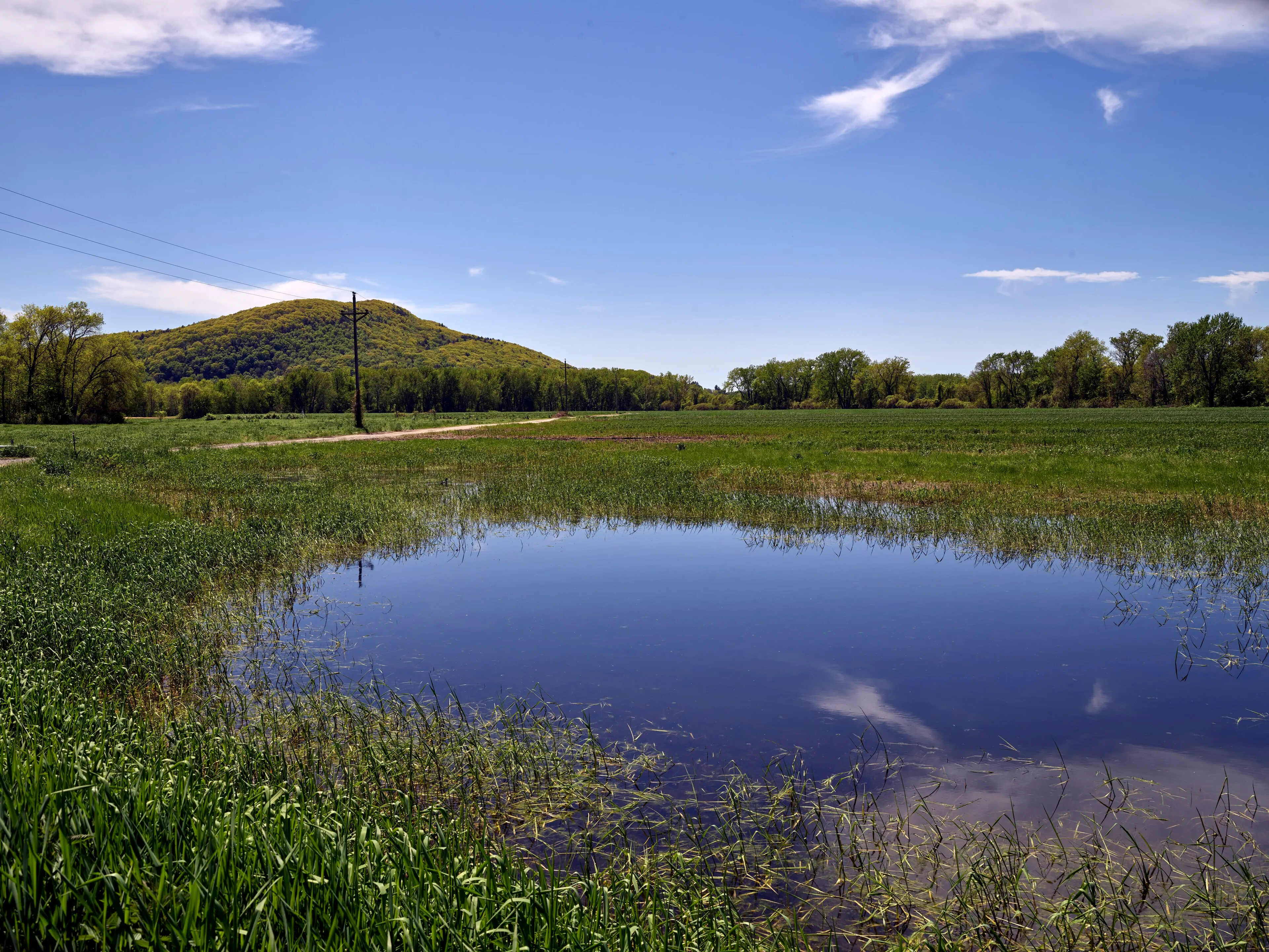
The bottom of the park, along Mountain Road in Hadley, has a seasonal picnic area, an amphitheater used for occasional summer concerts, and a small pond and reedy meadow in the lowland between the road and the slope. The pond is good for spring amphibian listening and for early-summer dragonflies.
What to know
- Auto road: DCR lists the 2026 season opening as May 3; summit parking fees run May 23-Oct. 26, or until the road closes, at $5 for Massachusetts-plated vehicles and $20 for out-of-state vehicles.
- Year-round access on foot: the lower lot stays open and plowed in winter; the road above the gate is closed to cars but open to walkers and snowshoers.
- No water at the summit in the off-season: the Summit House taps shut down when the road closes.
- Hunting: the park is open to deer hunting during the state shotgun season; wear blaze orange in November.