The Holyoke Range is the long east–west traprock ridge that closes the south end of the central Pioneer Valley. It is the geological mirror of Mount Tom on the west side of the Connecticut River. Both ranges were formed about 200 million years ago when basalt erupted into a continental rift valley and was later tilted east-up by faulting. The ridge crosses five towns (South Hadley, Granby, Belchertown, Hadley, and Amherst) and tops out at Mount Norwottuck, 1,106 feet, near the center of the range.
The two state parks
Two adjoining state parks protect the high ground:
- J.A. Skinner State Park holds the western end: the Mount Holyoke summit (935 ft), the Seven Sisters ridge, and the auto road and Summit House.
- Holyoke Range State Park holds the eastern, larger half: Mount Hitchcock, Bare Mountain, Mount Norwottuck, Long Mountain, and the trail network connecting them.
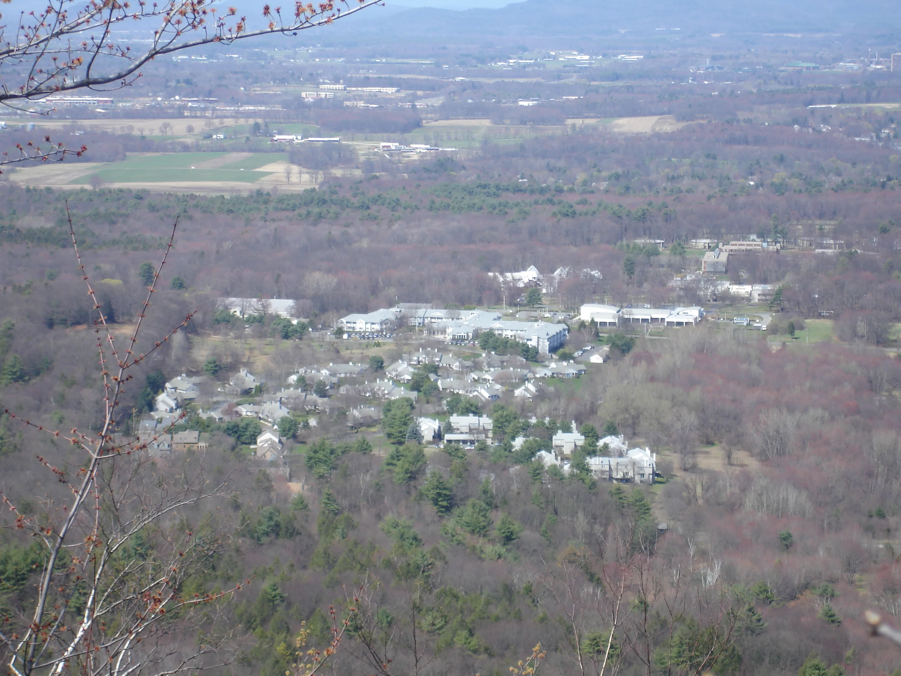
The dividing line is the small Notch on Route 116 between Granby and Amherst. The state park headquarters and the Notch Visitor Center are at the saddle of the Notch, with a free dawn- to-dusk parking lot that is the most-used trailhead on the range.
Trails
Two long-distance trails run the spine of the range and converge at the Notch:
- The New England National Scenic Trail (formerly known as the Metacomet-Monadnock Trail, and still locally called the M-M) runs the full length of the range and continues north over Mount Sugarloaf and into New Hampshire.
- The Robert Frost Trail, 47 miles, runs roughly north–south through Amherst and crosses the range at the Notch on its way to Mount Toby.
Most day hikers go up Bare Mountain or Mount Norwottuck from the Notch lot. Round-trip distances run roughly two to four miles, with 500 to 800 feet of climb. The full traverse from the Notch east across Norwottuck and Long Mountain and back is about eight miles round-trip.
The Horse Caves
A few hundred feet below the summit of Norwottuck, on the southern slope, a horizontal band of softer sandstone has eroded out from under the basalt cap, leaving a row of rock overhangs deep enough to shelter a horse and rider. Local tradition says the Horse Caves sheltered Daniel Shays and his men during Shays’s Rebellion in the winter of 1786–87; the documentary record is thin but the place is still called that. They sit a short, marked spur off the Robert Frost Trail near the Norwottuck summit.
What to know
- Trailheads: Notch Visitor Center (Route 116) is the main lot. Parking is free; visitor-center lobby and bathrooms are open daily 9 AM-4 PM, with exhibits and the information desk open daily in spring, summer, and fall and Thursday-Monday in winter. Smaller trailheads are at the Mount Holyoke College end (off Route 116 in South Hadley), on Bay Road in Amherst, and at the Skinner Road / Mount Holyoke entrance in Hadley.
- Trap-rock surface: the high ground is broken basalt and is hard on ankles when wet. Hiking poles help.
- Year-round: the trails are open year-round; in winter the Notch lot is plowed but the upper trails carry packed snow and ice. Spikes through March.
- Dogs: dogs must remain on leash.
- Hunting: much of the surrounding land is open to hunting in season. Wear blaze orange in November.