The Norwottuck Rail Trail is an 11-mile paved path following a former Boston & Maine rail corridor from Northampton through Hadley and Amherst to Belchertown. Opened in 1993 and now officially the Norwottuck Branch of the Mass Central Rail Trail, it remains one of the most-used recreational paths in Western Massachusetts.
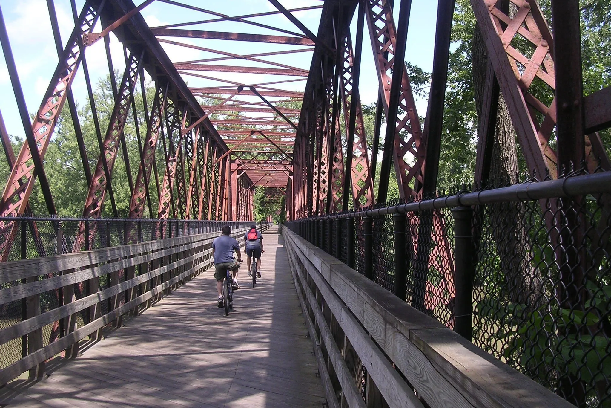
The trail crosses the Connecticut River on a converted rail bridge between Northampton and Hadley, the centerpiece ride of the route, with long views up and down the river.
Trailheads
- West end: Elwell State Park at Damon Road in Northampton, where the trail meets the Northampton Bikeway and (via the 2017 tunnel underpass) the Manhan Rail Trail to Easthampton.
- Hadley: Mountain Farms Mall and Lawrence Plain Road crossings.
- Amherst: Station Road and South East Street crossings.
- East end: Warren Wright Road in Belchertown, at the edge of the Amherst College Wildlife Sanctuary beaver pond.
What to know
- Paved and mostly flat; suitable for bikes, strollers, and wheelchairs.
- Leashed dogs welcome.
- Open sunrise to sunset.
- Plowed stretches are popular for winter walking; cross-country skiers use ungroomed sections after fresh snow.
- The trail can be busy on warm-weather weekends, especially around the Connecticut River bridge.
Sources
- Norwottuck Rail Trail, Mass.gov
- Norwottuck Branch Rail Trail, Wikipedia (length, endpoints, history)
- Mass Central Rail Trail, MassTrails