Granville State Forest is a 2,432-acre DCR property in the southern Berkshire foothills, mostly in Granville with a portion extending west into Tolland, hard against the Connecticut state line. The defining feature is the Hubbard River, which drops about 450 feet over two and a half miles through the heart of the forest, threading a long string of pools, ledges, and small cascades. The forest is named for Samuel Hubbard, who is recorded as one of the first English settlers in the area in the mid-1700s; the surrounding hills were pasture and farmland for two centuries before reverting to woods under state ownership.
The Hubbard River
The Hubbard River is what most people come for. It runs roughly east through the forest in a steep, rocky bed, with a long sequence of pools and small drops where the water slides over ledge or works around boulders. DCR currently prohibits swimming in the forest; the rocks are slippery, and the current can change quickly after rain.
The river is also stocked with trout in spring and is a popular fishing stream. A Massachusetts freshwater fishing license is required.
Trails
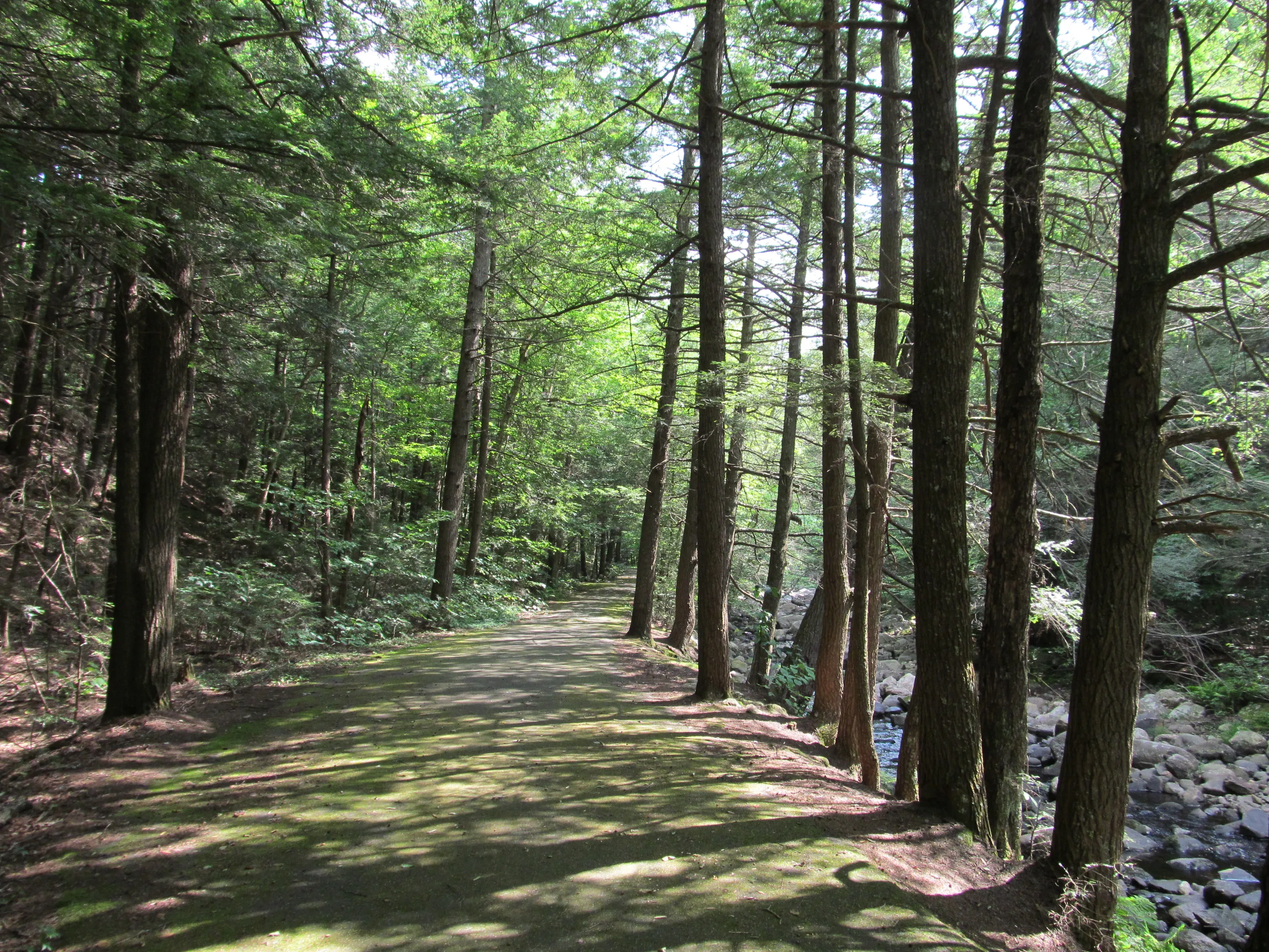
The forest has a modest network of footpaths and old woods roads, most of them following or crossing the Hubbard River. The main route is the Hubbard River Trail, which traces the river through the cascade reach and connects the campground area to other access points; a handful of side trails branch off into the surrounding hardwoods. Trails are open to hiking, mountain biking, horseback riding, and (in winter) snowshoeing and cross-country skiing on most routes. Blazes are spotty in places, so bring a map.
Camping
The DCR campground at Granville State Forest is small and primitive: a single loop of wooded sites on a low ridge above the Hubbard River, with restrooms and showers but no electric hookups. Sites are reservable through the state’s reservation system. It is a quiet, dark campground with no through traffic and no nearby town, and it fills on summer weekends.
What to know
- Cell service is poor to nonexistent in much of the forest. Download maps before you leave the highway.
- No swimming. DCR currently prohibits swimming in the forest.
- Hunting is permitted in season; wear blaze orange in November.
- The road in is rural. The campground entrance is off West Hartland Road, well back from any main highway. Plan fuel and groceries ahead. The closest services are in Granville center and over the line in Connecticut.
- Pets are welcome on trails but must remain on leash.