D.A.R. State Forest is a 1,728-acre hilltown forest spanning Goshen and a small wedge of Ashfield, in the rolling country west of the Connecticut River. The original 1,020 acres were given to the Commonwealth in 1929 by the Daughters of the American Revolution (the “D.A.R.” in the name), and the forest has been added to since. The recreational core is Upper Highland Lake, with a public swimming beach and a boat launch, and the high point of the property is Moore’s Hill, where a state fire tower opens up a long view across the Berkshire foothills.
The Highland Lakes
Two small ponds, Upper Highland Lake and Lower Highland Lake, sit in the middle of the forest, dammed in the 19th century and rebuilt by the Civilian Conservation Corps in the 1930s. Upper Highland is the busier of the two: a sand swimming beach with seasonal lifeguards, a picnic grove under tall pines, a cartop boat launch for canoes and kayaks, and shoreline fishing for bass, pickerel, and stocked trout. Lower Highland, downstream of the dam, is quieter and primarily a fishing pond. Boats are non-motorized, or limited to small electric motors.
Moore’s Hill fire tower
The fire tower on Moore’s Hill stands at the north end of the forest and gives the property’s only summit view. From the deck the view runs east across the Connecticut River valley toward the Pelham Hills and the Quabbin watershed, and west into the southern Berkshires. Whether the tower cab is open on a given day depends on staffing and the fire-season status; in any case the deck below the cab is a fine spot to take in the surrounding hills.
The tower is about a mile from the main day-use area on a marked trail, and it is also a stop on the longer trail loops that thread the forest.
Trails
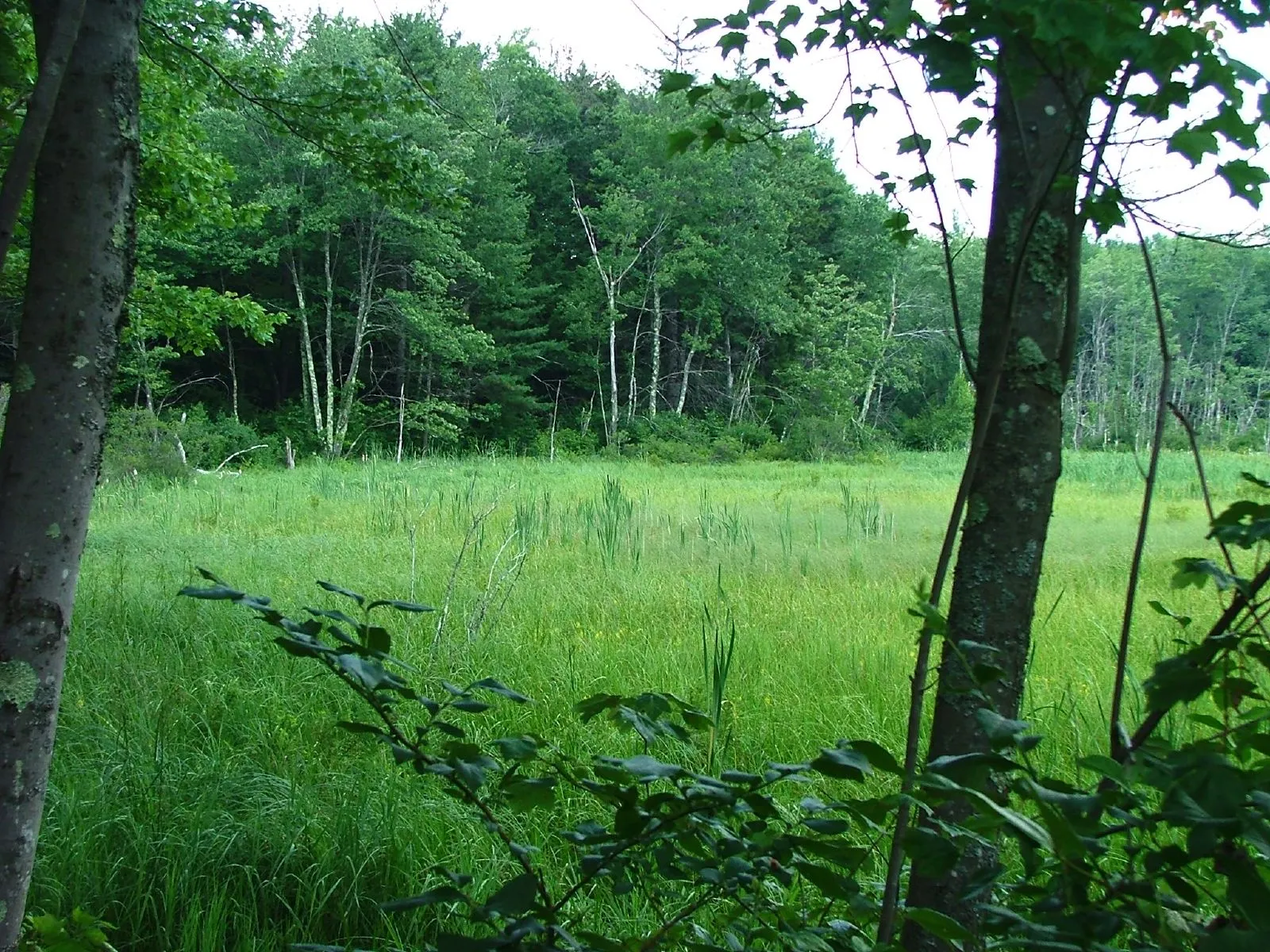
About fifteen miles of multi-use trails wind through D.A.R. State Forest, open to hiking, mountain biking, horseback riding, and (in winter) cross-country skiing and snowshoeing. The terrain is gentle to moderate by hilltown standards: rolling forested hills, wetland edges, old wood roads, and a few short climbs. Trails connect the campground, the lakeshore, the fire tower, and the back corners of the forest. Blazing is reasonably good but a map is worth carrying.
Camping
The DCR campground at D.A.R. State Forest has 51 wooded sites, arranged in loops on the Upper Highland Lake side of the forest. The campground is generally open from mid-spring through Columbus Day weekend; sites are reservable through the state park reservation system. The campground has restrooms and showers, but no hookups. This is a back-to-basics state-forest campground rather than a full-service RV park.
What to know
- Parking fee. DCR lists 2026 daily parking fees from May 23 through September 7: $8 for Massachusetts-plated vehicles and $30 for out-of-state vehicles.
- Swimming is lifeguarded only in summer, at the Upper Highland Lake beach. No swimming elsewhere in the forest.
- Pets. Dogs are welcome on trails on leash, but not on the swimming beach during the lifeguarded season.
- Hunting. The forest is open to hunting in season; wear blaze orange in November.
- Winter. The gate is closed to cars, but the trails stay open to skiers and snowshoers. The campground and beach are closed.