Brimfield State Forest is a roughly 3,500-acre DCR property covering the wooded hills west of Brimfield Center, running back toward the Monson line. Its developed core is the Dean Pond Recreation Area on the west side of the forest (a picnic grove, restrooms, and a pavilion at the head of a quiet pond), and a network of more than twenty miles of woods roads and trails radiates from there into the surrounding upland. The forest is also home to Steerage Rock, a large glacial-erratic boulder on the old Bay Path, and to long stretches of regrown blowdown left by the June 1, 2011 tornado.
Dean Pond Recreation Area
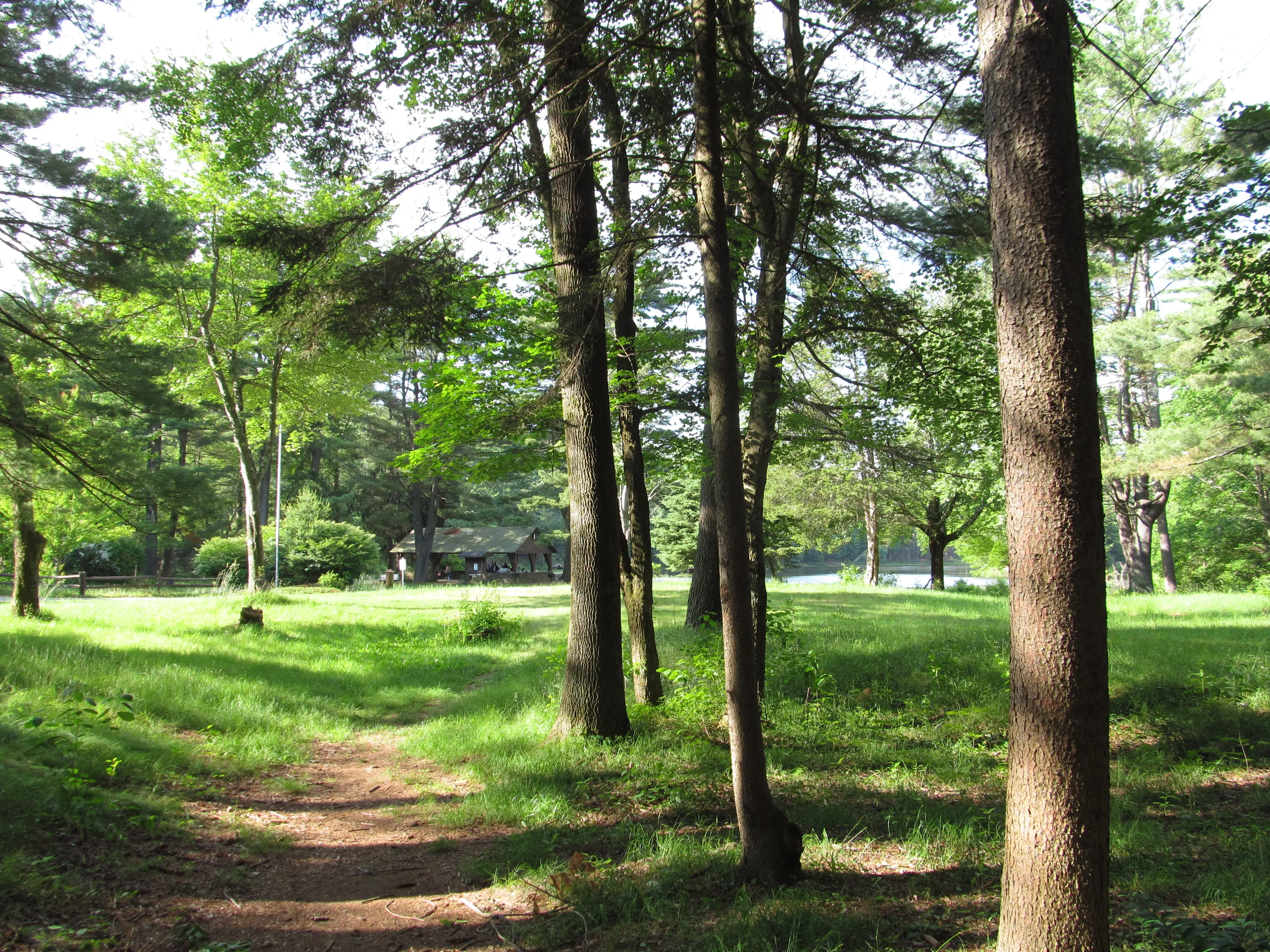
Dean Pond is the public face of the forest: a quiet pond tucked into a wooded basin, with picnic tables under the pines, a small pavilion, and accessible restrooms. The pond is stocked with trout and is a pleasant shoreline fishing spot. The recreation area was closed for about two years after the 2011 tornado tore through the surrounding forest and reopened in 2013.
Steerage Rock and the Bay Path
Steerage Rock is a large glacial-erratic boulder set on a wooded hilltop along the old Bay Path, the colonial-era track between Boston and the Connecticut River that is one of the deeper layers of the southern Pioneer Valley’s history. A bronze 1930 Tercentenary plaque mounted on the rock marks it as a Bay Path landmark; an old fire-lookout tower once stood here as well. The rock is reached on foot from the forest road system and is one of the better short walking destinations inside the forest. See the Brimfield town entry for more on the Bay Path and the rock’s place in local history.
Trails and woods roads
The forest’s trail system is built out of old woods roads (gravel and dirt tracks laid out for forestry and water-supply work) linked by shorter footpaths. Twenty-plus miles are open to:
- Hiking: the easiest and most popular use; gentle to rolling terrain on the woods roads, with steeper climbs on a few of the side trails up to ridge points like Steerage Rock.
- Mountain biking: a regional favorite for cross-country riding on the woods-road network.
- Horseback riding: most of the forest road system is open to equestrians.
- Snowmobiling: designated trails are part of the regional snowmobile network in winter.
- Cross-country skiing and snowshoeing: on the same woods roads when there is cover.
Blazing inside the forest is patchy in places; a downloaded map is worth carrying, and a few of the back roads are gated and unsigned at junctions.
The June 2011 tornado
On June 1, 2011, the long-track EF3 tornado that crossed the Pioneer Valley from Westfield through Springfield, Wilbraham, and Monson reached its widest point (about a half-mile across) as it crossed Brimfield State Forest in late afternoon. Wide swaths of the forest were leveled, and the regrown blowdown areas (younger, scrubbier, sun-soaked patches set into the older surrounding canopy) are still visible from many of the trails fifteen years on. Several access roads and the Dean Pond Recreation Area were closed for an extended cleanup; the recreation area reopened in 2013.
What to know
- Day-use season: the Dean Pond Recreation Area is busiest on summer weekends; the rest of the forest is open year-round.
- Parking fee: DCR lists daily parking fees at $8 for Massachusetts-plated vehicles and $30 for out-of-state vehicles.
- Hunting: open in season under DCR rules; wear blaze orange in November.
- No camping: Brimfield State Forest is a day-use forest; there is no developed campground.
- Antiques week: the forest is just up the road from the Brimfield Antique Flea Markets along Route 20, and is a good quiet break from the show fields in May, July, and September. See the Brimfield town entry for the show.