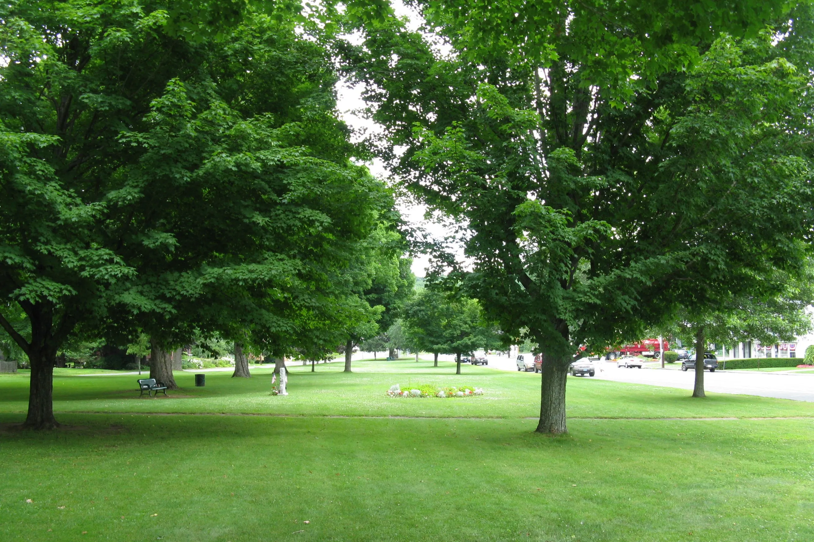
Brimfield is a Hampden County town of about 3,700 in the eastern Pioneer Valley, strung along U.S. Route 20 between Palmer to the northwest and Sturbridge to the east, with Monson on its southern boundary. The town was first settled in 1706 and incorporated in 1731, originally as part of old Hampshire County before the 1812 split that put it into Hampden. Its center is a long, narrow town common (pictured) with the First Congregational Church at one end and the civic and academy buildings ranged along the sides.
The Brimfield Antique Flea Markets
Three times a year (in early May, mid-July, and early September) Brimfield hosts the Brimfield Antique Flea Markets, the largest outdoor antiques show in New England. Roughly 5,000 dealers set up across more than 20 privately owned fields strung along Route 20 through the village center, and the six-day shows draw upwards of a million visitors a year between them.
The market grew out of the auctions run by local auctioneer Gordon Reid and his wife Madelyn from a field behind their house (“Auction Acres”), with the first show held in May 1960 under the slogan “the Greatest Antique Show Under the Sun.” After Reid’s death in 1974 his family carried it on as J&J Promotions (named for daughters Judy and Jill), and over the next two decades neighboring landowners opened their own fields on the same week, producing the present-day patchwork of independently run shows that all open and close together.
Hitchcock Free Academy
On the south side of the town common stands Hitchcock Free Academy, a 2-story Italianate building designed by Elias Carter and opened in 1855. Funded by the bequest of Brimfield-born Samuel Austin Hitchcock, it was the area’s first free secondary school and operated as a private academy for a century. After the Tantasqua Regional School District absorbed the area’s high-school-age students in the early 1950s, Hitchcock reorganized in 1955 as a community center, and that’s what it still is today, running adult-education, arts, recreation, and preschool programs out of the original 1855 academy building.
Brimfield State Forest
The western half of the town takes in most of Brimfield State Forest, a roughly 3,500-acre DCR property covering the hills between Brimfield Center and the Monson line. Its main developed access is the Dean Pond Recreation Area, a small swimming and picnic area on the west side of the forest with a beach, pavilion, and a network of trails radiating out from the pond into the surrounding upland. Over twenty miles of forest roads and trails are open to hiking, mountain biking, horseback riding, and (in winter) cross-country skiing and snowmobiling.
Steerage Rock and the Bay Path
A long granite ridge in the hills above the village holds Steerage Rock, a large glacial-erratic boulder perched on a ridgeline showing visible glacial striations. The rock is named for its role as a navigation landmark on the Bay Path (the 17th-century overland trail that the founders of Springfield used in 1636 to walk from the Massachusetts Bay Colony out to the Connecticut Valley), and a 1930 Massachusetts Bay Tercentenary plaque on the ridge marks the site. A wooden fire-lookout tower stood at Steerage Rock until it was destroyed in the 1938 Hurricane, and the rock and ridge are now reached by trails through Brimfield’s hill country in the western part of town.
June 1, 2011 tornado
On June 1, 2011, the same long-track EF3 tornado that tore through Springfield and Monson moved east into Brimfield in late afternoon, reaching its widest point (about a half-mile across) as it crossed Brimfield State Forest. In Brimfield itself the storm damaged 192 buildings, destroyed 39 homes, and flattened the Village Green Family Campground in East Brimfield, where 95 of 96 RVs were destroyed and a camper was killed. Wide swaths of the state forest were leveled, and the regrown blowdown areas are still visible from many of the trails.
Sources
- Town of Brimfield
- Brimfield, Massachusetts — Wikipedia (2020 U.S. Census population: 3,694)
- Brimfield State Forest — Mass.gov
- Hitchcock Free Academy
- 2011 New England tornado outbreak — Wikipedia