Whately is a small Franklin County town of about 1,600, set between the Connecticut River on the east and the foothills of the Berkshires on the west. It was settled as part of Hatfield in 1672 and incorporated as a separate town in 1771. The town sits between Hatfield to the south and Deerfield to the north, with Conway in the hills to the west and the Connecticut River forming most of the eastern boundary with Sunderland.
Two halves of one town
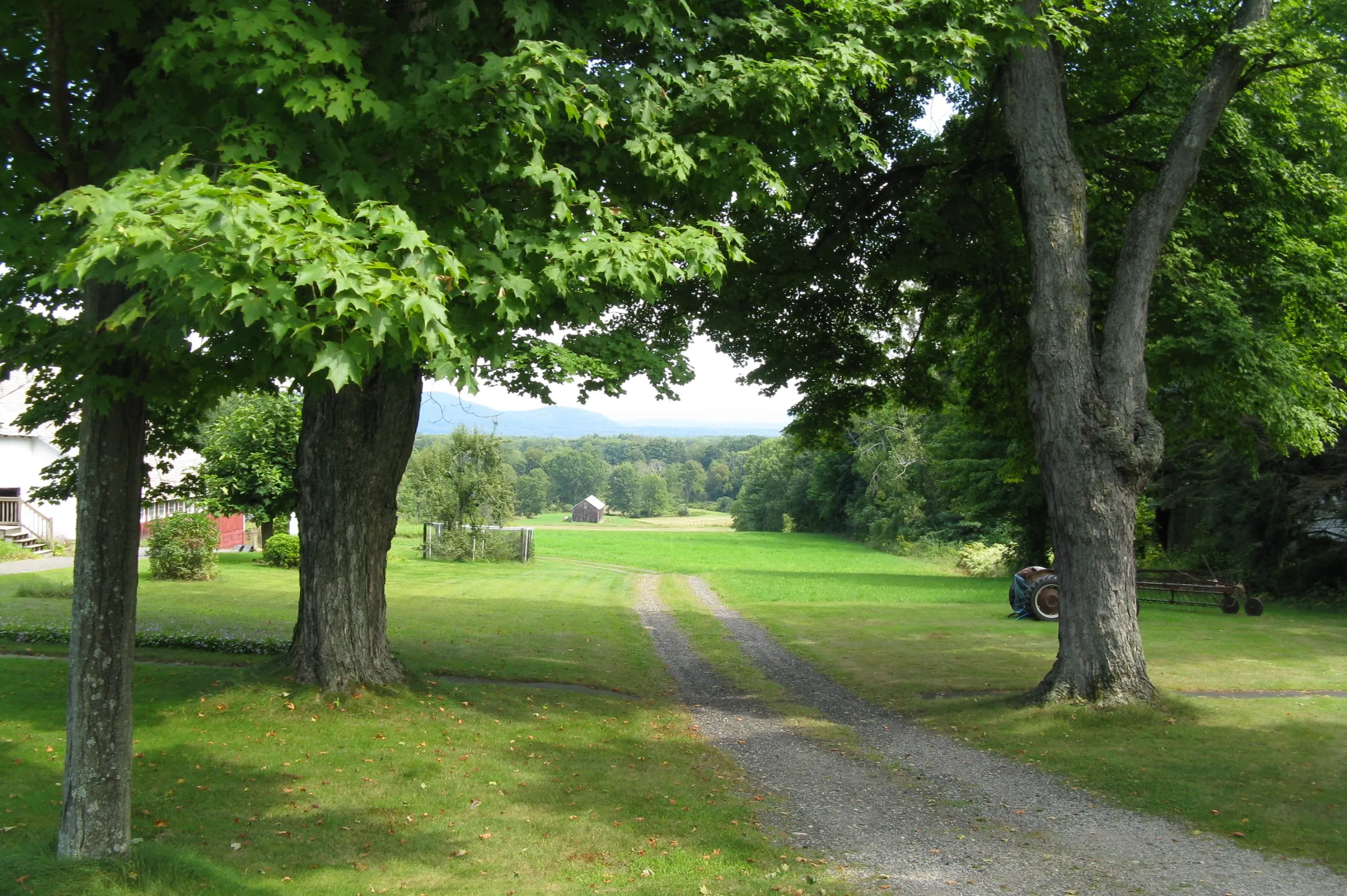
The eastern half of Whately is flat alluvial bottomland, the same Hadley loam that runs continuously from Hadley through Hatfield and on north to Deerfield, and one of the most productive agricultural soils in New England. Most of that flat ground is still in active farm production, and Whately is part of the surviving Pioneer Valley tobacco-and-vegetable belt with its larger neighbors. Tobacco was the town’s largest single farm crop from roughly the 1940s through the 1960s; today a smaller acreage is still grown, alongside corn, asparagus, squash, and the small-scale dairying and cut-flower operations that took over as tobacco shrank.
The western half is the opposite: hilly woods, brooks, and a few scattered farms on the back roads. The high point is Mount Esther (about 980 feet) in West Whately, and the Mill River and Great Swamp Brook drain east off the hills toward the Connecticut.
The villages
There is no compact village center in the New England sense. Town life is divided between a few loose neighborhoods:
- Whately Center along Chestnut Plain Road in the middle of town. The Town Hall, the First Congregational Church, and the old Dickinson Memorial Library sit here on a wide, tree-shaded right-of-way.
- East Whately, along Routes 5 & 10 parallel to the Connecticut River, is the modern commercial face of the town, with farm stands, the diner mentioned below, and the I-91 interchange near the South Deerfield line.
- West Whately in the hills, with farms and a few houses along Conway Road and Haydenville Road but no commercial center.
The Whately Milk Bottle
At the corner of Chestnut Plain Road and Christian Lane in Whately Center stands the Whately Milk Bottle, a roadside replica of a glass milk bottle from the Quonquont Dairy, built in the late 1920s by Lincoln Bond for the dairy’s roadside ice- cream stand on what is now Routes 5 & 10. The bottle was acquired by the Whately Historical Society, restored, and moved to its present spot in front of the old Center School (now town offices) in 1995. It is the town’s most-quoted local landmark (the local newsletter calls itself “News for the Town with the Milk Bottle”), and the Society dispenses ice cream from it on a handful of summer days each year. (“Quonquont” was a 17th-century Pocumtuck leader and one of the signers of the 1672 land transaction by which the future Whately was sold to Hatfield.)
The Whately Diner
On Routes 5 & 10 near the I-91 interchange is the Whately Diner Fillin’ Station, a 1960 Kullman “Princess” stainless-steel 24-hour diner. It originally operated in Chicopee as the Princess Diner, was bought and moved up the river to its current Whately site in the early 1970s by the F.L. Roberts gasoline company, and has been one of the better-known roadside stops on the Connecticut Valley north–south route ever since, serving local farm traffic, commercial-truck traffic, and travelers between Springfield and Brattleboro alike.
Other notes
- Whately’s First Congregational Church on Chestnut Plain Road is a white-clapboard meetinghouse-style church anchoring Whately Center, with the town hall and a small green nearby.
- The west side of town, along the Conway and Williamsburg lines, has substantial undeveloped woodland and a few small parcels of conservation land, including the headwaters of the Mill River, which flows from here south through Williamsburg and on to Northampton.
- The town’s name was insisted on by Massachusetts governor Thomas Hutchinson, who named it for his political friend Thomas Whately (1726–1772), the British MP and writer better known as the author of one of the founding texts of the English landscape-garden style. The namesake never visited the town.
Sources
- Town of Whately
- Whately, Massachusetts — Wikipedia (2020 U.S. Census population: 1,607)