Granby is a small town of about 6,100 in eastern Hampshire County, between South Hadley to the west and Belchertown to the east, with Amherst to the north and Ludlow to the south. The town was the east parish of Hadley through most of the colonial period and was set off and incorporated as a separate town on June 11, 1768.
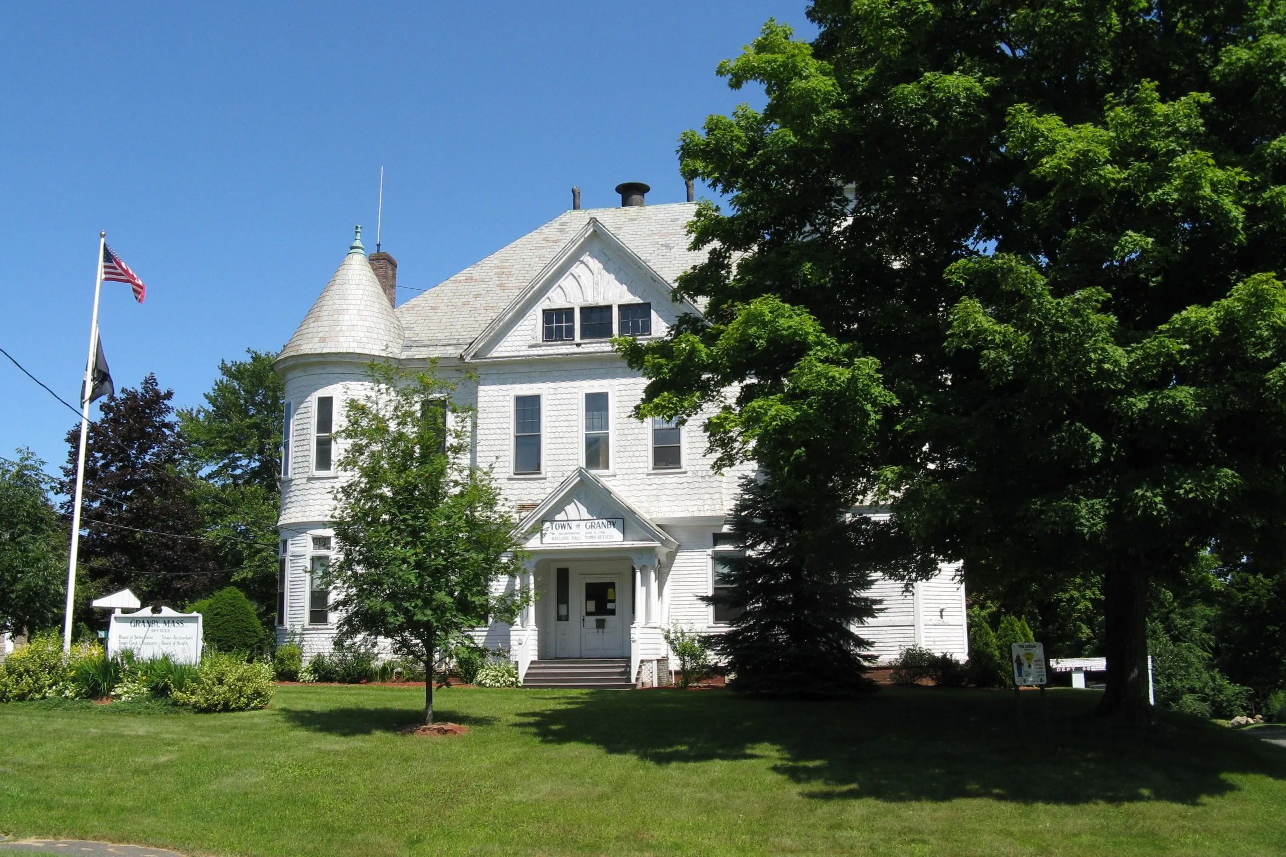
Kellogg Hall and the town center
The town hall is Kellogg Hall, the late-19th-century white- clapboard frame building pictured above, with its distinctive corner turret and conical roof. It sits at the Five Corners intersection at the center of town, where Routes 202 and 116 meet, the historic crossroads of Granby and the small civic and commercial center of the town.
The Holyoke Range
The northern edge of Granby climbs into the eastern half of the Mount Holyoke Range. The range’s two highest summits sit on the Granby line: Mount Norwottuck at 1,106 feet (the highest point in the range) and Long Mountain just east of it. The summit ridge is part of the Holyoke Range State Park, with its main parking on Route 116 just over the line in Amherst; the Robert Frost Trail and the Metacomet–Monadnock (New England National Scenic) Trail both cross the ridge from there. The Horse Caves (a jumble of basalt blocks below the summit of Norwottuck, locally said to have sheltered Daniel Shays’ men in the winter of 1786–87) are reached by a short side trail off the main ridge route.
Dufresne Park
Dufresne Park is the main town park, on the south side of town off Route 202. It has athletic fields, a pavilion, walking paths, and a small pond, and is the site of the town’s summer recreation programs and the annual Granby Charter Day celebration.
Other notes
- Granby was originally part of Hadley’s east parish before the 1768 split. South Hadley, set off from Hadley a decade earlier, took the name; the east parish became Granby.
- The town is largely rural and residential, with active dairy and produce farms still working the flatter land south of the range, one of the larger surviving concentrations of working farmland in Hampshire County.
Sources
- Town of Granby, Massachusetts
- Granby, Massachusetts — Wikipedia (2020 U.S. Census population: 6,110)