The Mass Central Rail Trail (MCRT) is a long-running rail-trail conversion of the former Boston & Maine “Central Mass” line, envisioned as a 104-mile path from Boston to Northampton. In the Pioneer Valley, the open pieces run through Belchertown and Ware, with the western end of the corridor continuing into Amherst as the Norwottuck Branch.
A patchwork, not a through-route
Unlike the continuous Norwottuck Rail Trail, the MCRT in the Pioneer Valley is a series of separate segments. Some are paved, some are hard-packed stone dust, and some sections of the old right-of-way are still unimproved or closed pending construction. Plan for a specific segment rather than a continuous through-ride.
The most usable pieces today:
- Belchertown Greenway. Segments owned and developed by the town, generally between Bay Road and State Street, including a restored timber trestle over Jabish Brook. Mostly stone dust.
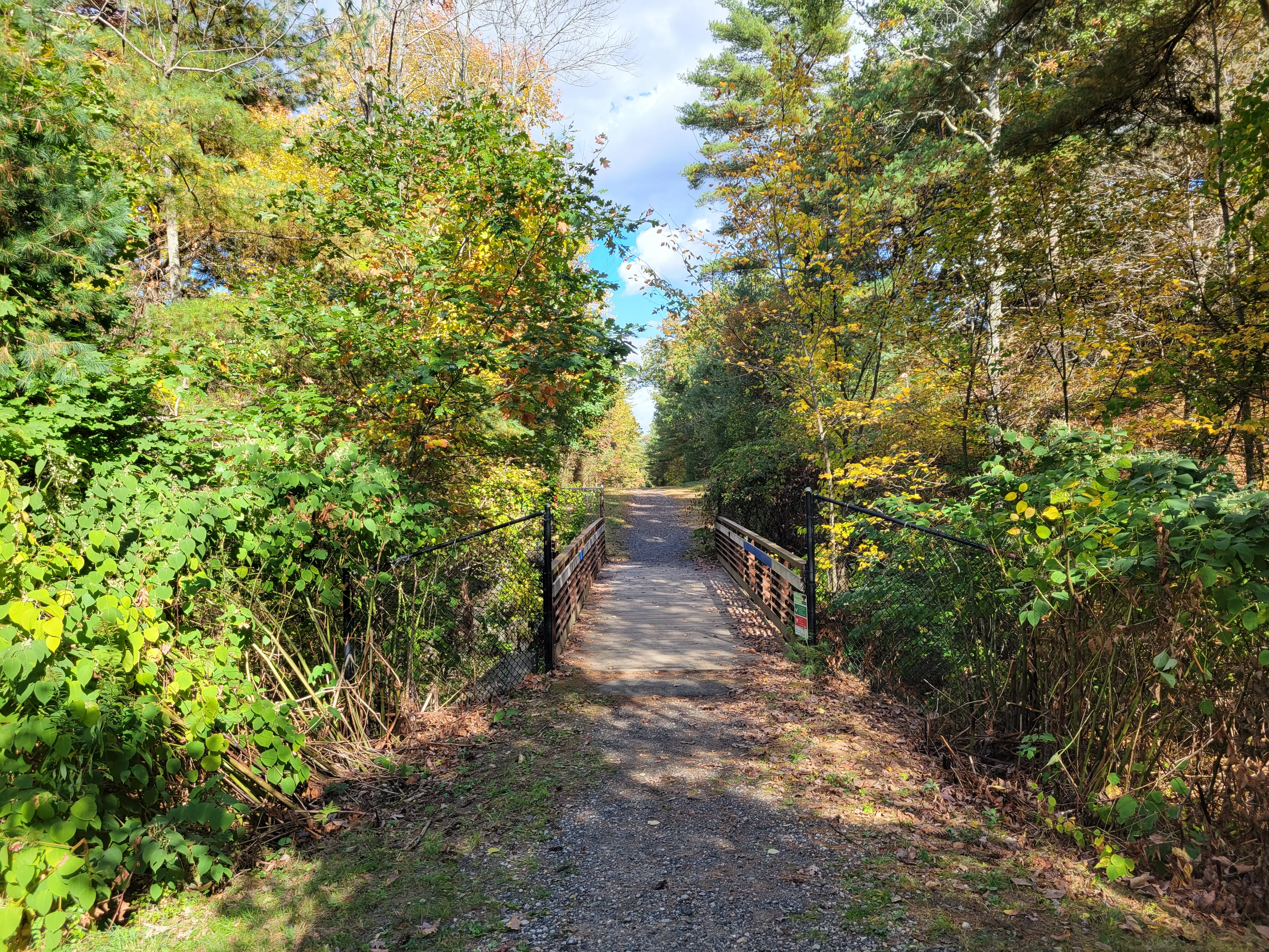
- Gibbs Crossing (Ware). A 1.56-mile stone-dust segment that opened in 2023, with a small trailhead lot.
- Mass Central Rail Trail in Ware. About 2.7 miles managed by the East Quabbin Land Trust, open to non-motorized use.
- Ware River Park (Gilbertville). A one-mile segment through the village of Gilbertville, also opened in 2023.
The Quabbin watershed gap
East of the open Belchertown segments, the original rail corridor runs through the Quabbin Reservoir watershed, public drinking water for metropolitan Boston, with strict access limits. Bikes are not permitted east of Lower Bondsville Road across the watershed, and dogs are excluded from the watershed entirely. Most of this stretch is closed or restricted; do not plan to ride through to the eastern segments.
See the Quabbin Park entry for the public-access portion of the watershed.
What to know
- Surface varies by segment. Expect stone dust on most newer Pioneer Valley pieces; some town-developed stretches are paved. Hybrid or gravel-friendly tires are a safer choice than narrow road tires.
- Connections. The Norwottuck Branch is the through-ridable Pioneer Valley spine of the MCRT system; the segments described here are best treated as standalone walks and short rides.
- Leashed dogs welcome on the open Belchertown and Ware segments. Dogs are not allowed in the Quabbin watershed sections.
- Management. The MCRT corridor is held and maintained by a patchwork of partners: Massachusetts DCR, the East Quabbin Land Trust, individual towns, and the volunteer Mass Central Rail Trail Alliance.
- Winter. Most segments are ungroomed; some town-maintained pieces are plowed.
History
The trail follows the right-of-way of the Massachusetts Central Railroad, chartered in 1869 to link Boston with Northampton. Service reached Jefferson by 1881; the Boston & Maine leased the line in 1887 and completed it through to Northampton the same year. The Hurricane of 1938 wrecked the middle of the line, splitting operations into eastern and western halves that declined for decades until the MBTA ended remaining service in 1971. The conversion to a rail trail has been incremental ever since, segment by segment, town by town.