Ware is a town of about 10,000 in eastern Hampshire County, set on the Ware River at the southern edge of the Quabbin Reservoir watershed. The town was incorporated in 1775 and grew up around a 19th-century cotton-mill complex along the river: the Otis Company mills, which anchored the local economy for roughly a hundred years and gave Ware its dense brick downtown.
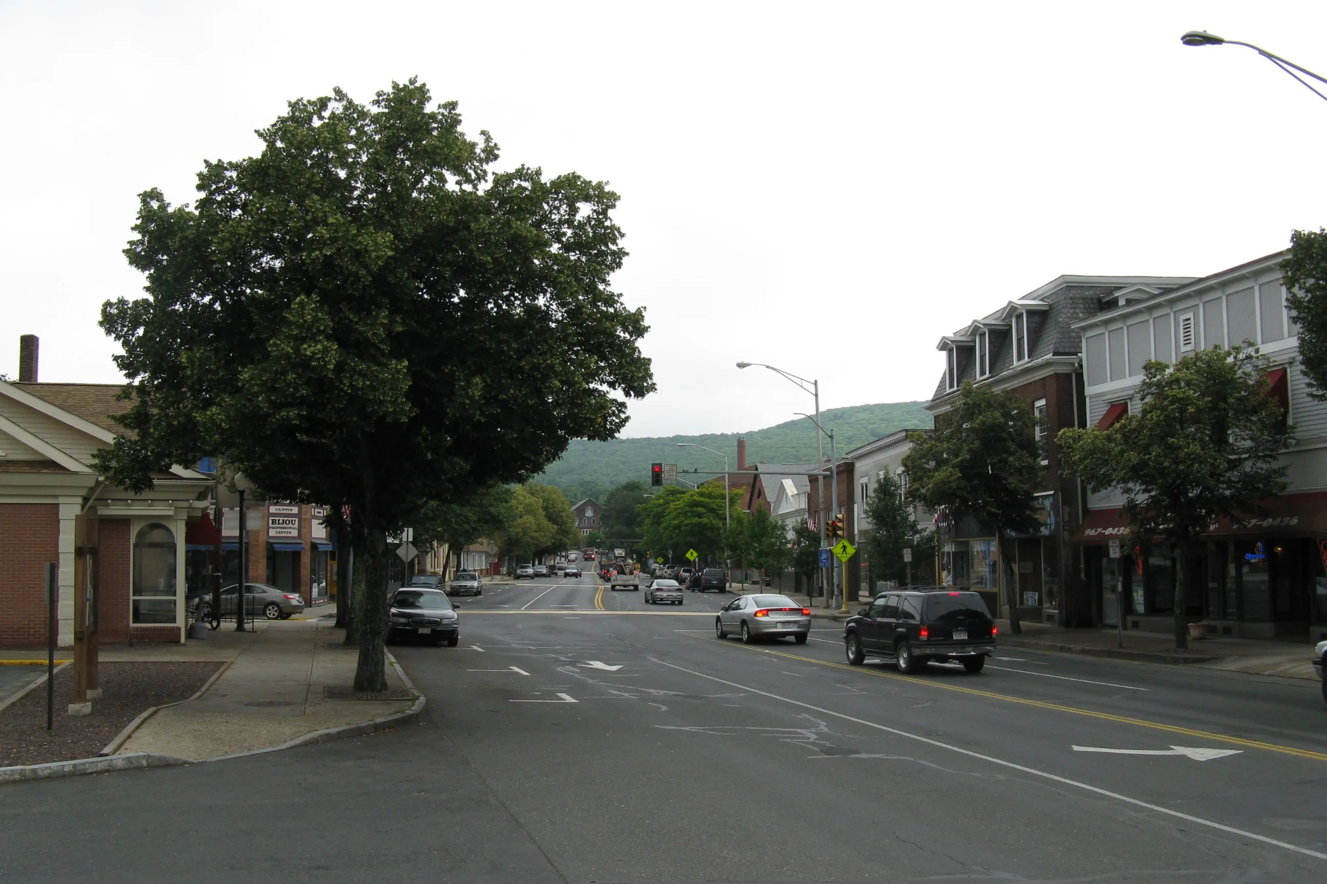
The mills and the town center
The Ware River drops sharply through the center of town, and the mill village built around that drop is still the shape of downtown. The Otis Company ran cotton mills here from the 1820s onward, eventually employing nearly 2,500 people at its peak and producing denims, awnings, and tickings. The Italianate and Romanesque brick blocks along Main Street and the rows of mill housing on the side streets date from the second half of the 19th century, when the company and the town grew together.
The Town That Can’t Be Licked
In October 1937, the Otis Company’s treasurer announced that the firm would liquidate and sell its mills (reportedly to out-of-state buyers) for around $50,000. Ware residents organized quickly, and with backing from the local Ware Trust Company they raised the money themselves and bought the mills, reorganizing them as Ware Industries Inc. and preserving thousands of jobs through the Depression. Police Chief Bartholomew Buckley coined the phrase “The town that can’t be licked,” and the nickname stuck. The story is locally well-attested; the surrounding folklore is more variable, so the dollar figure and the exact sequence above should be read as the version Ware itself tells.
Quabbin Reservoir
Ware sits at the southern end of the Quabbin Reservoir, the drinking-water reservoir built in the 1930s by flooding four Swift River valley towns. Winsor Dam and Goodnough Dike (the two earthworks that hold back the reservoir) are both partly within Ware, and parts of the disincorporated towns of Enfield and Greenwich were absorbed into Ware in 1938. The Quabbin Hill access road climbs to a hilltop overlook on the south shore, with a long view north over the reservoir to the former site of Enfield, now under water.
Getting there and nearby
Ware sits at the junction of routes 9 and 32, about 25 miles east of Northampton and 20 miles north of Springfield. Belchertown is the nearest neighbor on the existing town list, on the far (western) side of the Quabbin watershed.
Sources
- Town of Ware, Massachusetts
- Ware, Massachusetts — Wikipedia (2020 U.S. Census population: 10,066)
- “Our National Phrase: The Town That Can’t Be Licked” (Town of Ware document)