Montgomery is a very small Hampden County hill town of about 820, one of the least-populated towns in the Pioneer Valley, sitting on a high plain above the Westfield River, well west of Westfield. The town was first settled in 1767 and incorporated in 1780, in the middle of the American Revolutionary War. It is named for General Richard Montgomery, the Continental Army officer killed leading the assault on Quebec City on December 31, 1775. Land for the new town was taken from Westfield, Southampton, and unincorporated territory that later became Huntington.
Geography
Montgomery sits on a broad upland plain framed by three named ridges: Lizzie Mountain to the northeast, Tekoa Mountain to the south, and Shatterack Mountain to the west. Tekoa and Shatterack rise directly from the Westfield River, whose banks form part of the town’s southwestern boundary with Russell. Inside the town, Moose Meadow Brook drains the plain southward, and the small Westfield Reservoir and Tekoa Reservoir lie within the town’s bounds. The Hampden–Hampshire county line runs along the town’s northern edge.
A short stretch of the Massachusetts Turnpike (Interstate 90), less than a couple of hundred yards long, clips the southern tip of town between Westfield and Russell, but the Pike has no exit in Montgomery, and no other state or federal route crosses the town. Only a handful of local roads enter or leave town at all, and several of them dead-end shortly inside or outside the border.
The town center
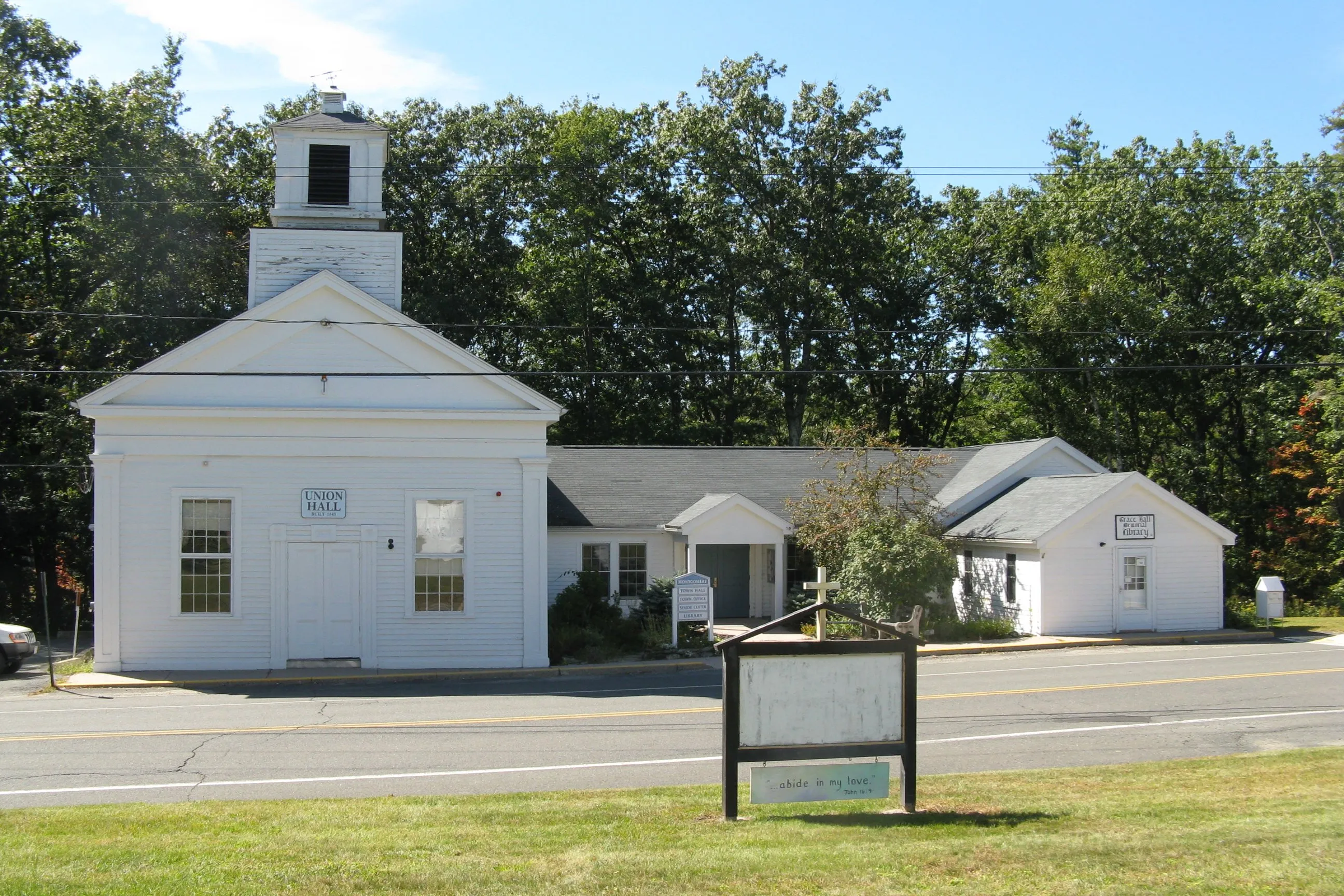
The hero image looks at the small town offices complex at the center of Montgomery, a white-clapboard Greek Revival meetinghouse-style hall with a square belfry, attached to a one-story town offices wing, on the road through the village. Like much of the town outside this small civic cluster, the surrounding landscape is wooded uplands, hill farms, and brook valleys. Montgomery has remained primarily a farming and forested rural town for most of its history; the 1957 opening of the Turnpike across the southern edge of town is the main reason its population has grown, modestly, into a small commuter base for Westfield and Springfield.
Neighboring towns
Montgomery is bordered by Huntington to the northwest, Southampton to the northeast (across the county line in Hampshire County), Westfield to the southeast, and Russell to the southwest, with the Westfield River separating the two towns along part of that border.
Sources
- Town of Montgomery
- Montgomery, Massachusetts — Wikipedia (2020 U.S. Census population: 819; settled 1767, incorporated 1780)
- Richard Montgomery — Wikipedia