Bernardston is a small Franklin County town of about 2,100 at the Vermont state line, the northernmost town in Massachusetts along the Connecticut Valley I-91 / U.S. Route 5 corridor before the road crosses into Vernon and Guilford, Vermont. The town was incorporated in 1762 and named for Sir Francis Bernard, the royal colonial governor of Massachusetts at the time. It is bounded by Vermont to the north, Northfield to the east, Gill to the southeast, Greenfield to the southwest, and Leyden to the west. The compact village center sits along U.S. 5 a few miles north of Greenfield, where the Fall River, a tributary of the Connecticut, runs south through town past the green.
Cushman Park
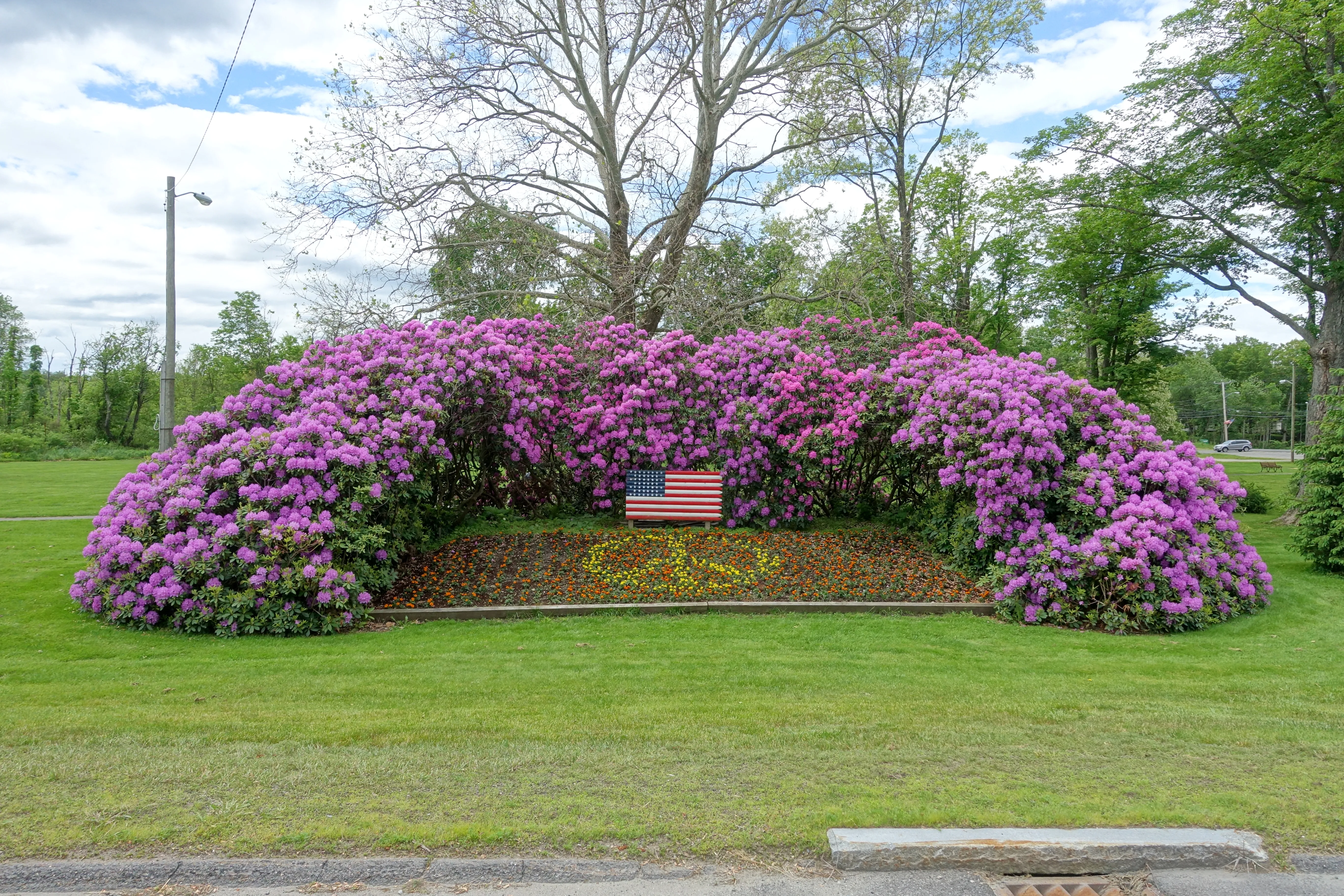
The visual center of the village is Cushman Park, the small public green on the west side of U.S. 5 in Bernardston Center. The park is best known locally for its long mounded rhododendron hedge (pictured above), which blooms heavily in late spring and early summer, and for the small brook that runs through one corner of it. The town’s veterans memorial stands in the park, and the Cushman Library, the town’s public library and part of the regional CW MARS network, sits at the edge of the green.
Powers Institute
Across the green from the library is the Powers Institute, a mid-19th-century private secondary academy building dating to 1856. It operated for several decades as a private school for Bernardston and the surrounding hill towns, then served various public-education and civic uses through the 20th century. The building now houses the Historical Society of Bernardston and its town-history collection. It is the most distinctive piece of historic architecture on the village green and dates to the same generation of small-town New England academies as the Northfield and Mount Hermon schools just to the east.
Northern gateway
Bernardston is functionally the northern gateway to the Pioneer Valley along the I-91 corridor. Exit 50 off the interstate drops travelers into the village; from there U.S. 5 runs south through the center toward Greenfield, while Massachusetts Route 10 branches northwest toward Leyden and Colrain. The village strip along U.S. 5 has a handful of older commercial buildings (a country store, the Farm Table restaurant in a restored 19th-century inn building, and several other small businesses) interspersed with the white-clapboard houses and churches typical of a small Franklin County town.
Sources
- Town of Bernardston
- Bernardston, Massachusetts — Wikipedia (2020 U.S. Census population: 2,102; incorporated 1762; named for Governor Francis Bernard)
- Historical Society of Bernardston